
Grande Traversée du Massif Central en Gravel

Key facts
- Distance
- 280 km
- Ascent
- +6,839 m
- Descent
- −5,727 m
- Estimated time
- 22 hr 55
- gravel
- Difficulty
- Difficult
- official rating
- Route
- Point to point
- ends elsewhere
Profile and gradient
- under 10%
- 10 to 20%
- over 20%
Gradient along the route: 271 km under 10%, 8.5 km at 10 to 20% and 0.5 km over 20%. Elevation from 207 m to 1,563 m over 280 km.
Description
Difficulty
Official rating: difficult, by Parc national des Cévennes.
Getting there
Start: Laubert, Laubert (48).
Sources
- Track: Parc national des Cévennes, Licence Ouverte 1.0, Licence Ouverte 1.0 (Etalab) (destination.cevennes-parcnational.fr/trek/98877-Grande-Traversee-du-Massif-Central-en-Gravel-(Laubert---Blandas)). Time estimated by GPX Path with the Mac app rule, breaks not included.
- Official elevation gain: 6,839 m, Parc national des Cévennes
Nearby tracks

 Plan IGN © IGN 2026Des crêtes du Mont Lozère à la vallée du haut Tarn en gravelCévennes, Pont de Montvert - Sud Mont Lozère (48) · LoopOfficial rating by Parc national des Cévennes
 Plan IGN © IGN 2026Les Crêtes du Mont Lozère en GravelCévennes, Villefort (48) · LoopOfficial rating by Parc national des Cévennes
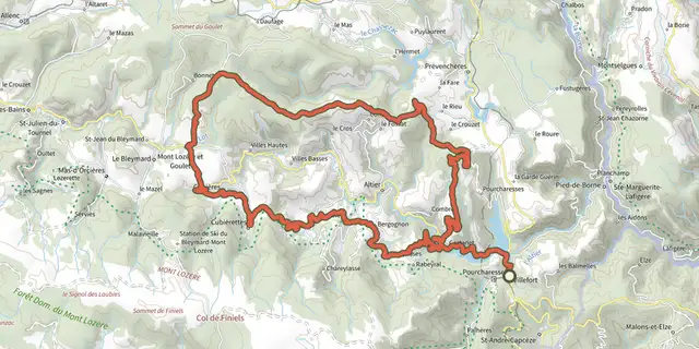 Plan IGN © IGN 2026Les Crêtes du Goulet en GravelCévennes, Villefort (48) · LoopOfficial rating by Parc national des Cévennes
 Plan IGN © IGN 2026Le Col des Faïsses en GravelCévennes, Florac Trois Rivières (48) · LoopOfficial rating by Parc national des Cévennes
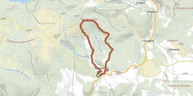
 Plan IGN © IGN 2026Plot de la fageOccitanie, Laubert (48) · LoopOfficial rating by Parc national des Cévennes
 Plan IGN © IGN 2026Partage des eauxOccitanie, Montbel (48) · LoopOfficial rating by Parc national des Cévennes