
Le Briontet

Key facts
- Distance
- 7.6 km
- Ascent
- +414 m
- Descent
- −363 m
- Estimated time
- 2 hr 30
- hiking
- Difficulty
- Easy
- official rating
- Route
- Loop
- back to the start
Profile and gradient
- under 10%
- 10 to 20%
- over 20%
Gradient along the route: 3.6 km under 10%, 3.8 km at 10 to 20% and 0.2 km over 20%. Elevation from 390 m to 706 m over 7.6 km.
Description
Walk in the footsteps of history: the Peyre tower and its secrets, the King’s dragoons searching for Camisards in very remote spots, and Resistance hideouts during World War II. This is a pretty walk through the history of the Soudorgues area, a strategic point of passage to the continental Cévennes. Here, the freedom of religion and of the homeland were fervently defended in a natural environment that is both generous and protective. Signposts will guide you all along this route, as well as yellow painted waymarks. In the description below, the signposted place names and/or directions are given in bold italics between quotation marks: Start 50 metres before the mairie (town hall) of Soudorgues, at the “Soudorgues” car park. - Walk to “Mairie de Soudorgues” and then to “Col de Briontet” via - “Les quatres chemins” and - “Caserne des Dragons”. - At “Col de Briontet”, head to “Col de Mercou” on the GR®61 long-distance hiking path. - At “Col de Mercou”, take the D39 road downhill on the left to Mercou then to “Soudorgues” via “Les quatre chemins” (2) and “Mairie de Soudorgues” (1). NB. At “Mercou”, continue on the road for a few metres before turning right to walk past a building below the road, then turn left amidst the terraces onto a path that goes downhill to Soudorgues via La Moina.
Difficulty
Official rating: easy, by Parc national des Cévennes.
Before you go
- Before committing yourself to a circuit, ensure that it is suitable for your activity level and ability. Remember that the weather changes quickly in the mountains. Take enough water. Please close all gates and barriers behind you.
Getting there
Start: Soudorgues, Soudorgues (30).
Sources
- Track: Parc national des Cévennes, Licence Ouverte 1.0, Licence Ouverte 1.0 (Etalab) (destination.cevennes-parcnational.fr/trek/74826-Le-Briontet). Time estimated by GPX Path with the Mac app rule, breaks not included.
- Official elevation gain: 414 m, Parc national des Cévennes
Nearby tracks

 © OpenStreetMap, SRTM · OpenTopoMap (CC-BY-SA)
La salindrenque
Cévennes, Soudorgues (30) · LoopOfficial rating by Parc national des Cévennes © OpenStreetMap, SRTM · OpenTopoMap (CC-BY-SA)
Le Mauripe
Cévennes, Soudorgues (30) · LoopOfficial rating by Parc national des Cévennes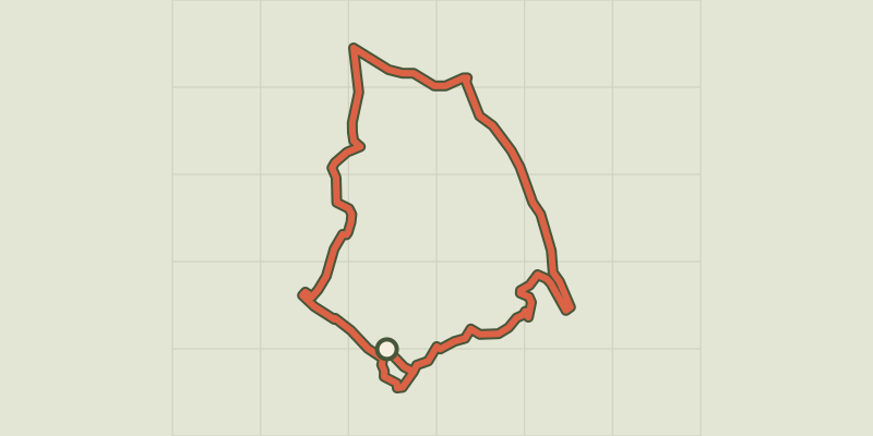 © OpenStreetMap, SRTM · OpenTopoMap (CC-BY-SA)
From the Camisards to the Resistance
Cévennes, Lasalle (30) · LoopOfficial rating by Parc national des Cévennes © OpenStreetMap, SRTM · OpenTopoMap (CC-BY-SA)
Mont Brion : from watchtowers to fords
Cévennes, Sainte-Croix-de-Caderle (30) · LoopOfficial rating by Parc national des Cévennes © OpenStreetMap, SRTM · OpenTopoMap (CC-BY-SA)
Valescure path
Cévennes, Peyrolles-en-Cévennes (30) · LoopOfficial rating by Parc national des Cévennes © OpenStreetMap, SRTM · OpenTopoMap (CC-BY-SA)
Le chemin des Fileuses
Cévennes, Colognac (30) · LoopOfficial rating by Parc national des Cévennes