
Le Levant

Key facts
- Distance
- 13.0 km
- Ascent
- +517 m
- Descent
- −466 m
- Estimated time
- 3 hr 55
- hiking
- Difficulty
- Difficult
- official rating
- Route
- Loop
- back to the start
Profile and gradient
- under 10%
- 10 to 20%
- over 20%
Gradient along the route: 10.4 km under 10% and 2.6 km at 10 to 20%. Elevation from 425 m to 638 m over 13.0 km.
Description
This shady route on the slopes of Le Pijalard and Brin leads to La Conne brook, where the quarries for local roofing stones used to be (on the other side of the small bridge). Signposts will guide you all along this route. In the description below, the signposted place names and/or directions are given in bold italics between quotation marks : From "Concoules" walk to : - "Cimetière", - "Station Epuration". Continue straight ahead to : - "Moulin du Champ Blanc", - "Ruisseau de la Conne", - "Le Clapeyrol". From here, walk to "La Grotte des Baumes", then retrace your steps. Back at "Le Clapeyrol" (5), return to "Concoules" via : - "La Bise Basse", - "Station Epuration" and "Cimetière". This hike is taken from the guidebook Mont Lozère, Pays des sources, Sommet des Cévennes, published by the Pôle de pleine nature du Mont Lozère and Alès Agglomération as part of the Collection Espaces Naturels Gardois and the Gard Pleine Nature label.
Difficulty
Official rating: difficult, by Parc national des Cévennes.
Before you go
- Make sure your equipment is appropriate for the day’s weather conditions. Remember that the weather changes quickly in the mountains. Take enough water, wear sturdy shoes and put on a hat.
Getting there
Start: Concoules, Concoules (30).
Sources
- Track: Parc national des Cévennes, Licence Ouverte 1.0, Licence Ouverte 1.0 (Etalab) (destination.cevennes-parcnational.fr/trek/96944-Le-Levant). Time estimated by GPX Path with the Mac app rule, breaks not included.
- Official elevation gain: 517 m, Parc national des Cévennes
Nearby tracks

 © OpenStreetMap, SRTM · OpenTopoMap (CC-BY-SA)
The paths of Mont Lozère
Cévennes, Concoules (30) · LoopOfficial rating by Parc national des Cévennes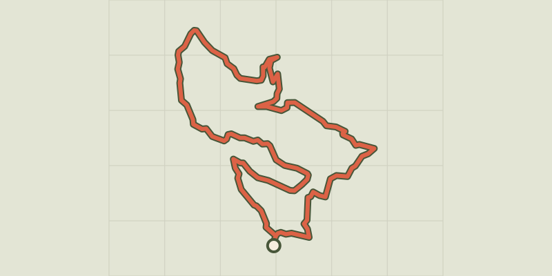 © OpenStreetMap, SRTM · OpenTopoMap (CC-BY-SA)
The garden of Le Tomple
Cévennes, Génolhac (30) · LoopOfficial rating by Parc national des Cévennes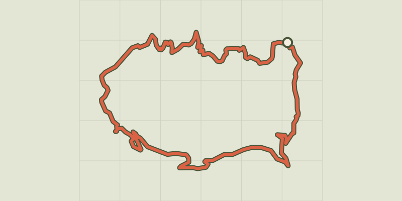 © OpenStreetMap, SRTM · OpenTopoMap (CC-BY-SA)
Col de Montclar
Cévennes, Génolhac (30) · LoopOfficial rating by Parc national des Cévennes © OpenStreetMap, SRTM · OpenTopoMap (CC-BY-SA)
Bournaves
Cévennes, Ponteils-et-Brésis (30) · LoopOfficial rating by Parc national des Cévennes © OpenStreetMap, SRTM · OpenTopoMap (CC-BY-SA)
Valat du Collet
Cévennes, Saint-André-Capcèze (48) · LoopOfficial rating by Parc national des Cévennes © OpenStreetMap, SRTM · OpenTopoMap (CC-BY-SA)
Exploring the magical forest
Cévennes, Vialas (48) · LoopOfficial rating by Parc national des Cévennes