
Exploring the magical forest
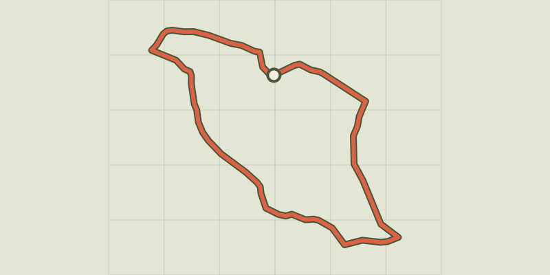
Key facts
- Distance
- 2.1 km
- Ascent
- +38 m
- Descent
- −25 m
- Estimated time
- 30 min
- hiking
- Difficulty
- Very easy
- official rating
- Route
- Loop
- back to the start
Profile and gradient
- under 10%
- 10 to 20%
- over 20%
Gradient along the route: 2.1 km under 10%. Elevation from 1,399 m to 1,429 m over 2.1 km.
Description
Follow Barque Page, a mysterious person, as he sets out to explore the secrets of a very old forest. In the old days, when the forest was magical, it whispered its secrets to the first forester at Mas de la Barque. Every day he noted down its revelations and his own observations in the pages of his ledger. But the howling wind that came over the mountain was so jealous of this friendship that it tore out the pages and dispersed them along with the dead leaves at the very heart of the mysterious forest. The forest’s secrets were lost forever. Near Reception, take a wide track that slowly enters the depths of the forest of Mas de la Barque. Running alongside crooked old beeches, the path then crosses a brook before climbing slightly towards a recently logged forest. Near an area of wetlands, it recovers some of the tranquillity of the old forest, then comes out on a track. You quickly return to the centre via the holiday cottages.
Difficulty
Official rating: very easy, by Parc national des Cévennes.
Getting there
Start: Accueil de la station du Mas de la Barque, Vialas (48).
Sources
- Track: Parc national des Cévennes, Licence Ouverte 1.0, Licence Ouverte 1.0 (Etalab) (destination.cevennes-parcnational.fr/trek/74762-A-la-decouverte-de-la-foret-magique). Time estimated by GPX Path with the Mac app rule, breaks not included.
- Official elevation gain: 38 m, Parc national des Cévennes
Nearby tracks

 © OpenStreetMap, SRTM · OpenTopoMap (CC-BY-SA)
Bayardet
Cévennes, Pont de Montvert - Sud Mont Lozère (48) · LoopOfficial rating by Parc national des Cévennes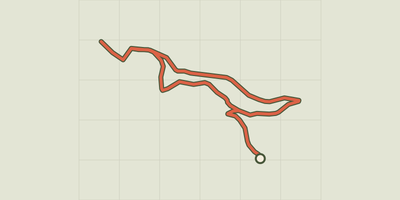 © OpenStreetMap, SRTM · OpenTopoMap (CC-BY-SA)
Pic Cassini
Cévennes, Pont de Montvert - Sud Mont Lozère (48) · LoopOfficial rating by Parc national des Cévennes © OpenStreetMap, SRTM · OpenTopoMap (CC-BY-SA)
Chalet de l’Aigle
Cévennes, Pont de Montvert - Sud Mont Lozère (48) · LoopOfficial rating by Parc national des Cévennes © OpenStreetMap, SRTM · OpenTopoMap (CC-BY-SA)
Mas Camargues
Cévennes, Pont de Montvert - Sud Mont Lozère (48) · LoopOfficial rating by Parc national des Cévennes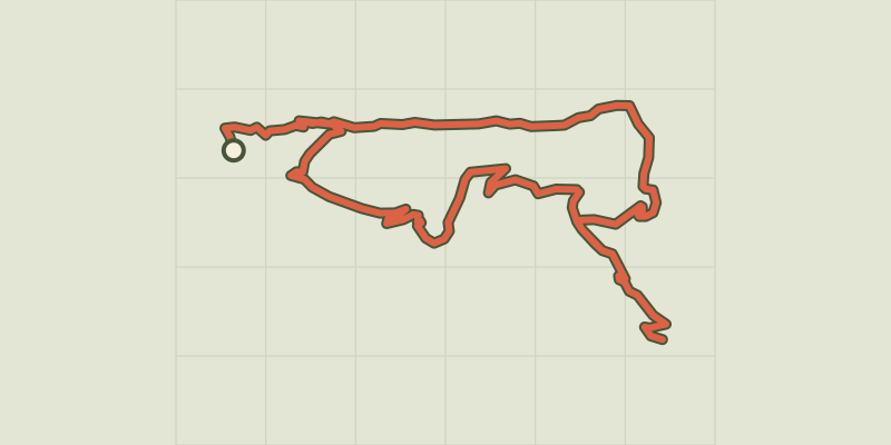 © OpenStreetMap, SRTM · OpenTopoMap (CC-BY-SA)
Le Levant
Cévennes, Concoules (30) · LoopOfficial rating by Parc national des Cévennes © OpenStreetMap, SRTM · OpenTopoMap (CC-BY-SA)
The paths of Mont Lozère
Cévennes, Concoules (30) · LoopOfficial rating by Parc national des Cévennes