
Les Escorces

Key facts
- Distance
- 5.9 km
- Ascent
- +327 m
- Descent
- −301 m
- Estimated time
- 1 hr 55
- hiking
- Difficulty
- Moderate
- official rating
- Route
- Loop
- back to the start
Profile and gradient
- under 10%
- 10 to 20%
- over 20%
Gradient along the route: 3.5 km under 10%, 1.8 km at 10 to 20% and 0.6 km over 20%. Elevation from 194 m to 497 m over 5.9 km.
Description
A beautiful climb that is quite steep towards the end. At the ruiniform blockfield of Les Escorces rocks, continue to the pylon, from where you can discover the surrounding heights: the rocks above Anduze, Pic Saint-Loup, the Mont Liron range, and the top of Mont Aigoual. Conquer the hillside of Les Escorces on drystone staircases built into the abandoned faïsses (crop terraces), which were once planted with olive trees and vines. Signposts will guide you all along this route. In the description below, the signposted place names and/or directions are given in bold italics between quotation marks: - Start from the car park in "St-Jean du Gard-Office du Tourisme". Walk in the direction of: - "Saint Jean du Gard". Then direction “Oppidum de Sueille, 3,1 km”; the first 250m are on the D 907 road. Turn left onto Chemin Albin Mercoiret and stay on it for 600 m (yellow waymarks), then take the cobblestoned path on the right that joins up with the road again. Turn right onto the road, then take the track on the left that turns into a path going uphill through the faïsses to Les Escorces rocks. Be careful: there is no parapet! - Turn left towards the pylon; walk around it on the right to reach a road that you leave after 100 m for a path on the left running along a fence. The path joins up with the road: go downhill on it. - At the signpost “Oppidum de Sueille”, continue downhill on the road towards “Saint-Jean du Gard 2.9 km” until you reach Saint-Jean du Gard. This hike is taken from the guidebook Cévennes et Vallées des Gardons, autour d’Anduze et de St-Jean du Gard, published by the Communauté de communes Alès Agglomération as part of the collection Espaces Naturels Gardois and the label Gard Pleine Nature.
Difficulty
Official rating: moderate, by Parc national des Cévennes.
Before you go
- Make sure your equipment is appropriate for the day’s weather conditions. Remember that the weather changes quickly in the mountains. Take enough water, wear sturdy shoes and put on a hat.
Getting there
Start: Saint-Jean du Gard, Saint-Jean-du-Gard (30).
Sources
- Track: Parc national des Cévennes, Licence Ouverte 1.0, Licence Ouverte 1.0 (Etalab) (destination.cevennes-parcnational.fr/trek/74772-Les-Escorces). Time estimated by GPX Path with the Mac app rule, breaks not included.
- Official elevation gain: 327 m, Parc national des Cévennes
Nearby tracks

 © OpenStreetMap, SRTM · OpenTopoMap (CC-BY-SA)
Saint-Jean, Pont vieux
Cévennes, Saint-Jean-du-Gard (30) · LoopOfficial rating by Parc national des Cévennes © OpenStreetMap, SRTM · OpenTopoMap (CC-BY-SA)
From one Gardon to the next
Cévennes, Saint-Jean-du-Gard (30) · LoopOfficial rating by Parc national des Cévennes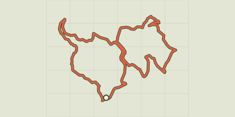 © OpenStreetMap, SRTM · OpenTopoMap (CC-BY-SA)
Around Les Aigladines
Cévennes, Mialet (30) · LoopOfficial rating by Parc national des Cévennes © OpenStreetMap, SRTM · OpenTopoMap (CC-BY-SA)
Les berges du Gardon
Cévennes, Mialet (30) · LoopOfficial rating by Parc national des Cévennes © OpenStreetMap, SRTM · OpenTopoMap (CC-BY-SA)
Mont Brion : from watchtowers to fords
Cévennes, Sainte-Croix-de-Caderle (30) · LoopOfficial rating by Parc national des Cévennes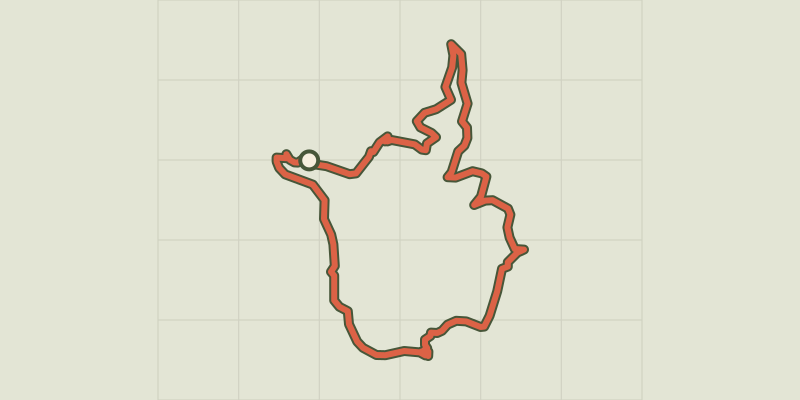 © OpenStreetMap, SRTM · OpenTopoMap (CC-BY-SA)
The Puechs
Cévennes, Mialet (30) · LoopOfficial rating by Parc national des Cévennes