
On the traces of the mouflon

Key facts
- Distance
- 2.4 km
- Ascent
- +92 m
- Descent
- −58 m
- Estimated time
- 40 min
- hiking
- Difficulty
- Very easy
- official rating
- Route
- Loop
- back to the start
Profile and gradient
- under 10%
- 10 to 20%
- over 20%
Gradient along the route: 2.2 km under 10% and 0.2 km at 10 to 20%. Elevation from 1,273 m to 1,315 m over 2.4 km.
Description
The mouflon was introduced for hunting in the 1950s and yet remains little-known or unknown to visitors to the Aigoual mountain range. “7 June 2005. Evening is falling on the Aigoual massif. The air is cooling down after this hot spring day. I'm sitting on a small rock overlooking the heath above the Taleyrac valley. I've been at my post for only a few minutes when a triangular head with two small horns emerges out of the broom a few metres away. There can be no doubt: it's a young mouflon!” Nicolas Pagès, Fédération des chasseurs du Gard
Difficulty
Official rating: very easy, by Parc national des Cévennes.
Before you go
- In February 2020, a forest fire affected the path. Please respect the trail markings. You are strongly advised to bring binoculars if you hope to spot mouflons. Horse-riding or mountain-biking are not allowed on or adapted to discovery trails.
Getting there
Start: Parking, Val-d'Aigoual (30).
Sources
- Track: Parc national des Cévennes, Licence Ouverte 1.0, Licence Ouverte 1.0 (Etalab) (destination.cevennes-parcnational.fr/trek/38006-Sur-les-traces-du-mouflon). Time estimated by GPX Path with the Mac app rule, breaks not included.
- Official elevation gain: 92 m, Parc national des Cévennes
Nearby tracks

 © OpenStreetMap, SRTM · OpenTopoMap (CC-BY-SA)
Cascades d'Orgon, variante courte
Cévennes, Val-d'Aigoual (30) · LoopOfficial rating by Parc national des Cévennes © OpenStreetMap, SRTM · OpenTopoMap (CC-BY-SA)
Orgon Waterfalls
Cévennes, Arphy (30) · LoopOfficial rating by Parc national des Cévennes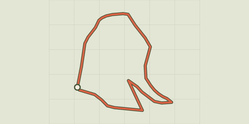 © OpenStreetMap, SRTM · OpenTopoMap (CC-BY-SA)
The beech forest walk
Cévennes, Arphy (30) · LoopOfficial rating by Parc national des Cévennes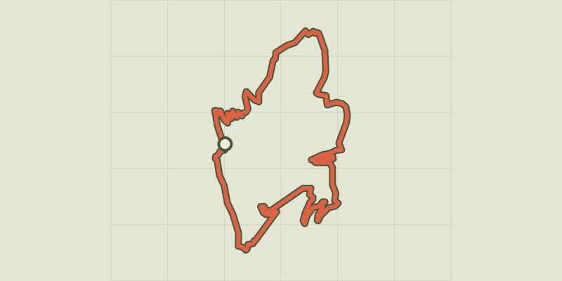 © OpenStreetMap, SRTM · OpenTopoMap (CC-BY-SA)
The ridges and valley of Le Coudoulous
Cévennes, Arphy (30) · LoopOfficial rating by Parc national des Cévennes © OpenStreetMap, SRTM · OpenTopoMap (CC-BY-SA)
Col d'Elze
Cévennes, Val-d'Aigoual (30) · LoopOfficial rating by Parc national des Cévennes © OpenStreetMap, SRTM · OpenTopoMap (CC-BY-SA)
Le sentier du Ciel
Cévennes, Val-d'Aigoual (30) · LoopOfficial rating by Parc national des Cévennes