
Orgon Waterfalls

Key facts
- Distance
- 8.9 km
- Ascent
- +454 m
- Descent
- −369 m
- Estimated time
- 2 hr 45
- hiking
- Difficulty
- Difficult
- official rating
- Route
- Loop
- back to the start
Profile and gradient
- under 10%
- 10 to 20%
- over 20%
Gradient along the route: 7.1 km under 10%, 1.3 km at 10 to 20% and 0.4 km over 20%. Elevation from 1,034 m to 1,322 m over 8.9 km.
Description
This trail will let you explore several rivers and waterfalls, in particular the Orgon waterfalls in the depths of the wild and rugged Coudoulous valley. NB: After the waterfalls, there is a fairly steep downhill section. Signposts will guide you all along this route. In the description below, the signposted place names and/or directions are given in bold italics between quotation marks: Starting at - "Cascades d’Orgon", walk towards "Cap de Côte", then : - "Les Abéouradous", - "Valat de l’Abreuvoir", - "La Draille". From here, a detour is possible to the André Chamson monument (there-and-back)). - At "Cap de Côte", return to "Cascades d'Orgon" via - "Orgon trial". This walk is taken from the guidebook Massif de l’Aigoual, published by the communauté de communes Aigoual Causses Cévennes Terres Solidaires as part of the collection Espaces naturels gardois and the label Gard Pleine nature.
Difficulty
Official rating: difficult, by Parc national des Cévennes.
Before you go
- Be careful, steep and slippery path on the climb before the Orgon waterfalls. Make sure your equipment is appropriate for the day's weather conditions. Remember that the weather changes quickly in the mountains. Take enough water, wear good shoes and put on a hat. Please close all gates and barriers after yourself.
Getting there
Start: Cascades d'Orgon (Arphy), Arphy (30).
Sources
- Track: Parc national des Cévennes, Licence Ouverte 1.0, Licence Ouverte 1.0 (Etalab) (destination.cevennes-parcnational.fr/trek/39562-Les-Cascades-d-Orgon). Time estimated by GPX Path with the Mac app rule, breaks not included.
- Official elevation gain: 454 m, Parc national des Cévennes
Nearby tracks
 © OpenStreetMap, SRTM · OpenTopoMap (CC-BY-SA)
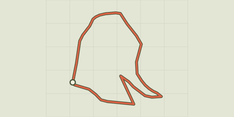
The beech forest walk
Cévennes, Arphy (30) · LoopOfficial rating by Parc national des Cévennes © OpenStreetMap, SRTM · OpenTopoMap (CC-BY-SA)
On the traces of the mouflon
Cévennes, Val-d'Aigoual (30) · LoopOfficial rating by Parc national des Cévennes © OpenStreetMap, SRTM · OpenTopoMap (CC-BY-SA)
Cascades d'Orgon, variante courte
Cévennes, Val-d'Aigoual (30) · LoopOfficial rating by Parc national des Cévennes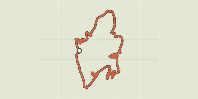 © OpenStreetMap, SRTM · OpenTopoMap (CC-BY-SA)
The ridges and valley of Le Coudoulous
Cévennes, Arphy (30) · LoopOfficial rating by Parc national des Cévennes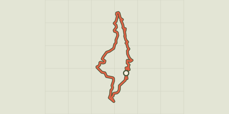 © OpenStreetMap, SRTM · OpenTopoMap (CC-BY-SA)
Souls
Cévennes, Bréau-Mars (30) · LoopOfficial rating by Parc national des Cévennes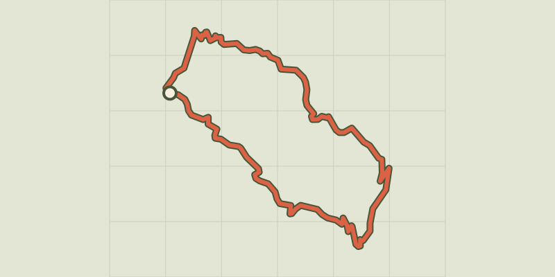 © OpenStreetMap, SRTM · OpenTopoMap (CC-BY-SA)
L’Arboux
Cévennes, Mandagout (30) · LoopOfficial rating by Parc national des Cévennes