
On Fageas ridge, 4 days

Key facts
- Distance
- 50.3 km
- Ascent
- +2,401 m
- Descent
- −2,334 m
- Estimated time
- 15 hr 50
- hiking
- Difficulty
- Moderate
- official rating
- Route
- Point to point
- ends elsewhere
Profile and gradient
- under 10%
- 10 to 20%
- over 20%
Gradient along the route: 34.8 km under 10%, 13.5 km at 10 to 20% and 2.0 km over 20%. Elevation from 188 m to 1,173 m over 50.3 km.
Description
On one side, the horizon stretches all the way to Mont Lozère; on the other, the majestic limestone mountains of Saint-Hippolyte-du-Fort appear. Behind you is loyal and imposing Mont Aigoual. These ridge paths were once vital traffic arteries between the valleys. Some houses in ruins still stand along the tracks. They used to be taverns, cafes or just refuges for travellers passing through or else shepherds migrating up to summer pastures with their sheep. These were meeting-points where news was exchanged and connections between the mountains’ inhabitants forged. - Day 1 : Saint-André de Valborgne - Aire de Côte (yellow waymarks, then red-and-white GR®7) : 13.8 km. - Day 2 : Aire de Côte - Mas Corbière on the GR® 6-67 (red-and-white waymarks) : 13.9 km. - Day 3 : Mas Corbière - Soudorgues, on the GR®67, GR®61 and GR®63 (red-and-white waymarks) : 17.8 km. - Day 4 : Soudorgues - St-Jean du Gard via Mont Mercou (yellow waymarks, then red-and-white GR®61 : 13.3 km.
Difficulty
Official rating: moderate, by Parc national des Cévennes.
Before you go
- Make sure your equipment is appropriate for the day’s weather conditions. Remember that the weather changes quickly in the mountains. Take enough water, wear sturdy shoes and put on a hat. Please close any gates and barriers behind you.
- Where to sleep :
- Aire de Côte : oficial bivouac area (composting toilets, water); no food available on-site. 09 70 03 56 62, contact@airedecote.fr https://airedecote.fr/
- Mas Corbières : 06 22 72 14 78 contact@mascorbieres.com www.mascorbieres.com/
- Stopover in Soudorgues :
- Gite Longitude : 04 66 85 07 89 gitelongitude30@gmail.com www.gite-longitude.com
- Le Petit Pavillon des Cévennes accueil@lesfaissesencevennes.fr www.lesfaissesencevennes.fr
Getting there
Start: Saint André de Valborgne, Saint-André-de-Valborgne (30).
Sources
- Track: Parc national des Cévennes, Licence Ouverte 1.0, Licence Ouverte 1.0 (Etalab) (destination.cevennes-parcnational.fr/trek/98774-Sur-le-dos-de-Fageas---4-jours). Time estimated by GPX Path with the Mac app rule, breaks not included.
- Official elevation gain: 2,401 m, Parc national des Cévennes
Nearby tracks
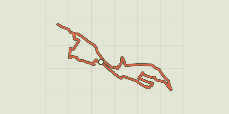
 © OpenStreetMap, SRTM · OpenTopoMap (CC-BY-SA)
Saint-André de Valborgne
Cévennes, Saint-André-de-Valborgne (30) · LoopOfficial rating by Parc national des Cévennes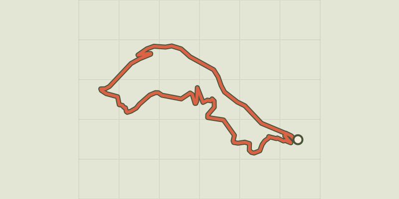 © OpenStreetMap, SRTM · OpenTopoMap (CC-BY-SA)
La Fare
Cévennes, Saint-André-de-Valborgne (30) · LoopOfficial rating by Parc national des Cévennes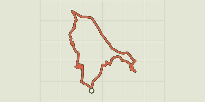 © OpenStreetMap, SRTM · OpenTopoMap (CC-BY-SA)
Lique Ser
Cévennes, Saint-André-de-Valborgne (30) · LoopOfficial rating by Parc national des Cévennes © OpenStreetMap, SRTM · OpenTopoMap (CC-BY-SA)
A steep climb
Cévennes, Saint-André-de-Valborgne (30) · LoopOfficial rating by Parc national des Cévennes © OpenStreetMap, SRTM · OpenTopoMap (CC-BY-SA)
Le Col Salidès par Saint-André de Valborgne
Cévennes, Saint-André-de-Valborgne (30) · LoopOfficial rating by Parc national des Cévennes © OpenStreetMap, SRTM · OpenTopoMap (CC-BY-SA)
Pont Marès
Cévennes, Saint-André-de-Valborgne (30) · LoopOfficial rating by Parc national des Cévennes