
Saint-Roman

Key facts
- Distance
- 5.5 km
- Ascent
- +320 m
- Descent
- −289 m
- Estimated time
- 1 hr 50
- hiking
- Difficulty
- Moderate
- official rating
- Route
- Loop
- back to the start
Profile and gradient
- under 10%
- 10 to 20%
- over 20%
Gradient along the route: 3.2 km under 10%, 1.4 km at 10 to 20% and 1.0 km over 20%. Elevation from 434 m to 703 m over 5.5 km.
Description
As you walk the ridge known as Gallows Ridge, admire the Vallée Borgne and the Vallée Française, one on each side. But make sure you don’t bump into the Lord of Moissac at the summit… That’s where he used to hang convicts! From the car park at the holiday village, go back up the D 140 for about 300 m and carefully cross the D 9 (Corniche des Cévennes) to enter the village of St-Roman de Tousque. Take the small road on the left, which soon turns into a track. Leave the track shortly afterwards to walk alongside the dry-stone wall of a property on the right. When you arrive at a field, cross it by walking along its right-hand edge. Then follow the path that climbs to the ridge and to the summit of Gallows Ridge (Serre des Potences). Continue on this path, which leads to a track. Turn right onto the track. Turn right onto the Corniche des Cévennes (D 9) and walk for about 200 m. Caution: stay on the side of the road! Take the first path which goes downhill on the left and plunges into a chestnut forest. It crosses large schist rocks from which you can admire the Gardon valley. Take the path on the right. It crosses a drystone bridge over the Valat du Bouscayrol river. Once you have reached the D 140, near the hamlet of Fobies, turn left. After the second hairpin bend, leave the road and take the track that goes downhill on the right. At the hamlet of L’Espi, the track becomes a tarred road. Continue uphill on the road to the holiday village of St Roman de Tousque to return to your departure point..
Difficulty
Official rating: moderate, by Parc national des Cévennes.
Before you go
- Make sure your equipment is appropriate for the day’s weather conditions. Remember that the weather changes quickly in the mountains. Take enough water, wear sturdy shoes and put on a hat. Please close all gates and barriers behind you.
Getting there
Start: Village de gîtes à St-Roman de Tousque, Moissac-Vallée-Française (48).
Sources
- Track: Parc national des Cévennes, Licence Ouverte 1.0, Licence Ouverte 1.0 (Etalab) (destination.cevennes-parcnational.fr/trek/44137-Saint-Roman). Time estimated by GPX Path with the Mac app rule, breaks not included.
- Official elevation gain: 320 m, Parc national des Cévennes
Nearby tracks
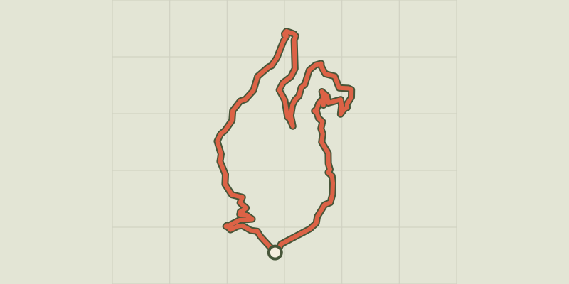
 © OpenStreetMap, SRTM · OpenTopoMap (CC-BY-SA)
La Carrière, sur les pas des Maquisards
Cévennes, Moissac-Vallée-Française (48) · LoopOfficial rating by Parc national des Cévennes © OpenStreetMap, SRTM · OpenTopoMap (CC-BY-SA)
L'Exil
Cévennes, Saumane (30) · LoopOfficial rating by Parc national des Cévennes © OpenStreetMap, SRTM · OpenTopoMap (CC-BY-SA)
Goats’ Bridge
Cévennes, Saumane (30) · LoopOfficial rating by Parc national des Cévennes © OpenStreetMap, SRTM · OpenTopoMap (CC-BY-SA)
Trail of Memories
Cévennes, Sainte-Croix-Vallée-Française (48) · LoopOfficial rating by Parc national des Cévennes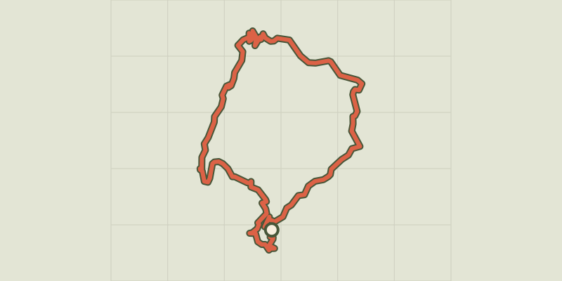 © OpenStreetMap, SRTM · OpenTopoMap (CC-BY-SA)
Chemin des fileuses
Cévennes, L'Estréchure (30) · LoopOfficial rating by Parc national des Cévennes © OpenStreetMap, SRTM · OpenTopoMap (CC-BY-SA)
Le Soult
Cévennes, L'Estréchure (30) · LoopOfficial rating by Parc national des Cévennes