
The cliffs of Pourcharesses

Key facts
- Distance
- 13.2 km
- Ascent
- +473 m
- Descent
- −333 m
- Estimated time
- 3 hr 40
- hiking
- Difficulty
- Difficult
- official rating
- Route
- Loop
- back to the start
Profile and gradient
- under 10%
- 10 to 20%
- over 20%
Gradient along the route: 10.5 km under 10% and 2.6 km at 10 to 20%. Elevation from 612 m to 923 m over 13.2 km.
Description
A long walk between Villefort lake and the plateau of La Garde-Guérin, with the Morangiès valley as backdrop. A taste of paradise... In past centuries, these lands were much farmed. They are still brimming with fruit. Yellow fruit ? Apple and pear trees gone wild are plentiful, and while their fruit are small, they are tasty. Red fruit ? You can taste wild cherries, blackberries, blueberries or wild strawberries. Nuts ? You can pick chestnuts as well as walnuts and hazelnuts. Signposts will guide you all along this route. In the description below, the signposted place names and/or directions are given in bold italics between quotation marks : From “Lac de Villefort”, walk towards : - “Promontoire du lac”. At “Promontoire du lac”, go to : - “POURCHARESSES” and then straight ahead to : - “Col de la Violette”. At “Col de la Violette”, walk towards “LA GARDE-GUÉRIN” via : - “Le Golf”, - “Belvédère du Chassezac - parking”, - “Chemin de la Fontaine”, - “Porte du Rachas”. - At “LA GARDE-GUÉRIN”, return to “Lac de Villefort”. This hike is taken from the guidebook Mont Lozère - Pays des sources de la Margeride au lac de Villefort en Cévennes published by the Pôle de pleine nature du Mont Lozère.
Difficulty
Official rating: difficult, by Parc national des Cévennes.
Before you go
- Make sure your equipment is appropriate for the day’s weather conditions. Remember that the weather changes quickly in the mountains. Take enough water, wear sturdy shoes and put on a hat. Please close any gates and barriers behind you.
Getting there
Start: Lac de Villefort, Villefort (48).
Sources
- Track: Parc national des Cévennes, Licence Ouverte 1.0, Licence Ouverte 1.0 (Etalab) (destination.cevennes-parcnational.fr/trek/95014-Balcons-de-Pourcharesses). Time estimated by GPX Path with the Mac app rule, breaks not included.
- Official elevation gain: 473 m, Parc national des Cévennes
Nearby tracks
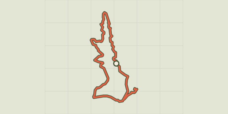
 © OpenStreetMap, SRTM · OpenTopoMap (CC-BY-SA)
Villefort Lake
Cévennes, Villefort (48) · LoopOfficial rating by Parc national des Cévennes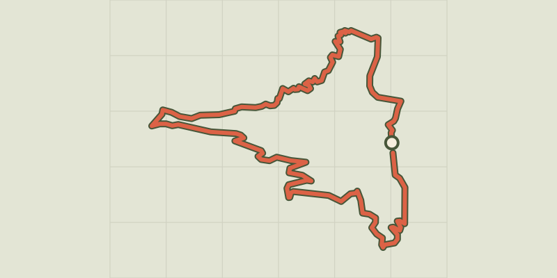 © OpenStreetMap, SRTM · OpenTopoMap (CC-BY-SA)
Croix de Gratassac
Cévennes, Villefort (48) · LoopOfficial rating by Parc national des Cévennes © OpenStreetMap, SRTM · OpenTopoMap (CC-BY-SA)
Chapelas Roc
Cévennes, Villefort (48) · LoopOfficial rating by Parc national des Cévennes © OpenStreetMap, SRTM · OpenTopoMap (CC-BY-SA)
Villefort
Cévennes, Villefort (48) · LoopOfficial rating by Parc national des Cévennes © OpenStreetMap, SRTM · OpenTopoMap (CC-BY-SA)
Valat du Collet
Cévennes, Saint-André-Capcèze (48) · LoopOfficial rating by Parc national des Cévennes © OpenStreetMap, SRTM · OpenTopoMap (CC-BY-SA)
Sculptures en liberté
Cévennes, Altier (48) · LoopOfficial rating by Parc national des Cévennes