
The stagecoach

Key facts
- Distance
- 14.2 km
- Ascent
- +727 m
- Descent
- −562 m
- Estimated time
- 4 hr 20
- hiking
- Difficulty
- Moderate
- official rating
- Route
- Loop
- back to the start
Profile and gradient
- under 10%
- 10 to 20%
- over 20%
Gradient along the route: 11.7 km under 10%, 2.1 km at 10 to 20% and 0.4 km over 20%. Elevation from 243 m to 706 m over 14.2 km.
Description
This walk takes you to the historical heart of the Cévennes: a rural life as harsh as it was intense, which forged a powerful spirit of resistance. Here, place names, castle, manor house, schist buildings all tell of the men and women who valiantly defended their freedom of worship. Signposts will guide you all along this route, as well as yellow painted waymarks. In the description below, the signposted place names and/or directions are given in bold italics between quotation marks: Starting from the car park "Peyrolles - Serre de Clayrac", turn right onto the Départemental road and, 200m later, - "La Planque", go downhill on the left on the small road towards - "Pont de L'Arénas", - "Vallée Obscure" and - "Château de vallée obscure". At “Château de vallée obscure” take the path on the right towards - "La Jasse", then - "Rouvière", and - "Col du Briontet". At “col du Briontet”, go towards "Col du Mercou" on a wooded path on your right, which goes uphill between two forestry tracks. - At “Col du Mercou”, take the path on your right towards - "Soucy".Turn right towards “Pont de l’Arénas” (2), then left towards “La Planque” (1) to return to the main road and the starting car park.
Difficulty
Official rating: moderate, by Parc national des Cévennes.
Before you go
- Caution! Heavy rainfall will make crossing the ford at Pont de Vallongue impossible. Before committing yourself to a circuit, ensure that it is suitable for your activity level and ability. Remember that the weather changes quickly in the mountains. Take enough water.
Getting there
Start: Virage de la Planque, Peyrolles, Peyrolles-en-Cévennes (30).
Sources
- Track: Parc national des Cévennes, Licence Ouverte 1.0, Licence Ouverte 1.0 (Etalab) (destination.cevennes-parcnational.fr/trek/73261-La-Diligence). Time estimated by GPX Path with the Mac app rule, breaks not included.
- Official elevation gain: 727 m, Parc national des Cévennes
Nearby tracks

 © OpenStreetMap, SRTM · OpenTopoMap (CC-BY-SA)
Valescure
Cévennes, Peyrolles-en-Cévennes (30) · LoopOfficial rating by Parc national des Cévennes © OpenStreetMap, SRTM · OpenTopoMap (CC-BY-SA)
Valescure path
Cévennes, Peyrolles-en-Cévennes (30) · LoopOfficial rating by Parc national des Cévennes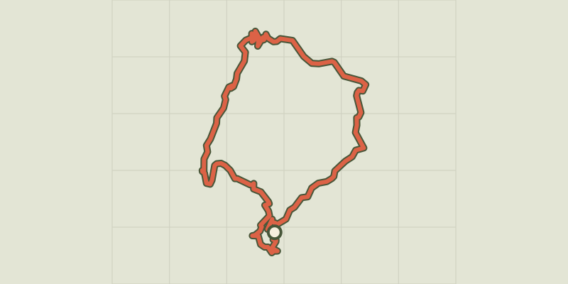 © OpenStreetMap, SRTM · OpenTopoMap (CC-BY-SA)
Chemin des fileuses
Cévennes, L'Estréchure (30) · LoopOfficial rating by Parc national des Cévennes © OpenStreetMap, SRTM · OpenTopoMap (CC-BY-SA)
Le Soult
Cévennes, L'Estréchure (30) · LoopOfficial rating by Parc national des Cévennes © OpenStreetMap, SRTM · OpenTopoMap (CC-BY-SA)
From one Gardon to the next
Cévennes, Saint-Jean-du-Gard (30) · LoopOfficial rating by Parc national des Cévennes © OpenStreetMap, SRTM · OpenTopoMap (CC-BY-SA)
Saint-Jean, Pont vieux
Cévennes, Saint-Jean-du-Gard (30) · LoopOfficial rating by Parc national des Cévennes