
Hiking GPX tracks in Corsica (page 4)
193 GPX tracks in Corsica, with distance, elevation gain and time for each track. Filter by department, sport, distance, elevation gain and time.
All GPX tracks in Corsica


 Plan IGN © IGN 2026 · track © OpenStreetMap
Boucle de Prunicciale
Balagne, Manso (2B) · Loop Plan IGN © IGN 2026 · track © OpenStreetMap
Boucle de Punta Bianca
Corsica, Belvédère-Campomoro (2A) · Loop Plan IGN © IGN 2026 · track © OpenStreetMap
Boucle de Saleccia
Balagne, Monticello (2B) · Point to point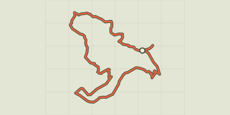 Plan IGN © IGN 2026 · track © OpenStreetMap
Boucle de San Bastianu
Balagne, Occhiatana (2B) · Loop Plan IGN © IGN 2026 · track © OpenStreetMap
Boucle de San Ciprianu
Balagne, Pigna (2B) · Loop Plan IGN © IGN 2026 · track © OpenStreetMap
Boucle de San Ghjuanni
Corsica, Solaro (2B) · Loop Plan IGN © IGN 2026 · track © OpenStreetMap
Boucle de Sant'Andria
Balagne, Feliceto (2B) · Point to point Plan IGN © IGN 2026 · track © OpenStreetMap
Boucle de Sant'Antone
Balagne, Belgodère (2B) · Loop Plan IGN © IGN 2026 · track © OpenStreetMap
Boucle de Tassileddi
Corsica, Carbini (2A) · Loop Plan IGN © IGN 2026 · track © OpenStreetMap
Boucle de Vallica
Balagne, Vallica (2B) · Loop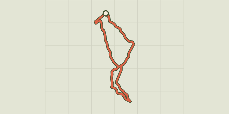 Plan IGN © IGN 2026 · track © OpenStreetMap
Boucle des 7 Fontaines
Corsica, Prunelli-di-Fiumorbo (2B) · Loop Plan IGN © IGN 2026 · track © OpenStreetMap
Boucle des Pozzi
Corsica, Belvédère-Campomoro (2A) · Loop Plan IGN © IGN 2026 · track © OpenStreetMap
Boucle du barrage de Codole
Balagne, Santa-Reparata-di-Balagna (2B) · Point to point Plan IGN © IGN 2026 · track © OpenStreetMap
Boucle du Calatoghiu
Balagne, Calenzana (2B) · Loop Plan IGN © IGN 2026 · track © OpenStreetMap
Boucle du massif côtier de la Punta di Tilariu
Balagne, Palasca (2B) · Point to point Plan IGN © IGN 2026 · track © OpenStreetMap
Boucle du Massif Côtier du Lion de Roccapina
Corsica, Sartène (2A) · Loop Plan IGN © IGN 2026 · track © OpenStreetMap
Boucle du Monte Aragnascu
Corsica, Cuttoli-Corticchiato (2A) · Loop Plan IGN © IGN 2026 · track © OpenStreetMap
Boucle du Monte Santu
Corsica, Sari-Solenzara (2A) · Loop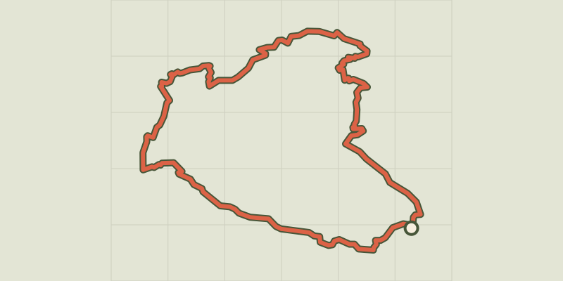 Plan IGN © IGN 2026 · track © OpenStreetMap
Boucle du Monte Stello
Cap Corse, Brando (2B) · Loop Plan IGN © IGN 2026 · track © OpenStreetMap
Boucle Funtana Suprana - Monticello
Balagne, Monticello (2B) · Loop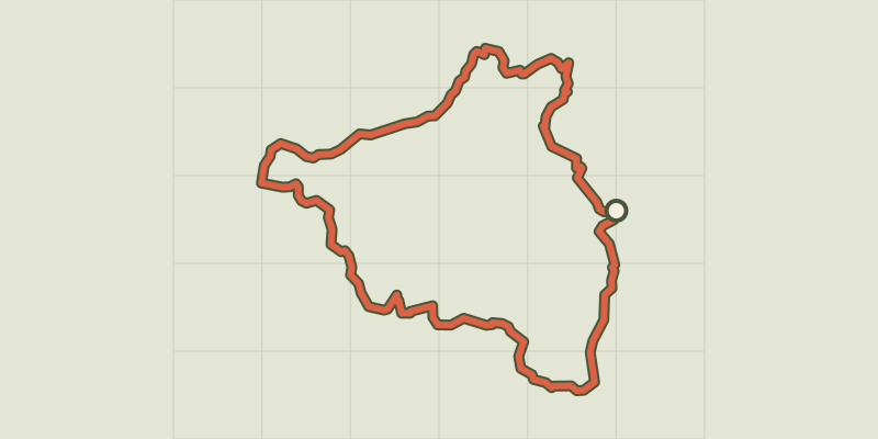 Plan IGN © IGN 2026 · track © OpenStreetMap
Boucle I Quattri Paesi
Corsica, Quenza (2A) · Loop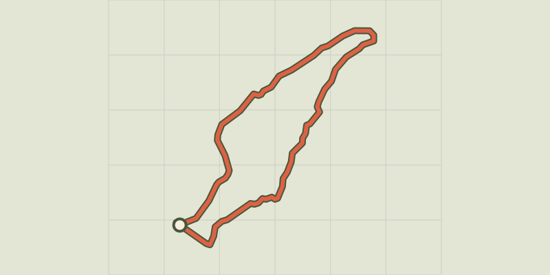 Plan IGN © IGN 2026 · track © OpenStreetMap
Boucle Imiza-Bergerie de Golpani
Cap Corse, Canari (2B) · Loop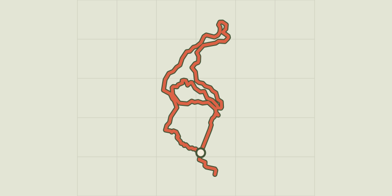 Plan IGN © IGN 2026 · track © OpenStreetMap
Boucle intérieure Mare è Stagnu
Corsica, Aléria (2B) · Loop Plan IGN © IGN 2026 · track © OpenStreetMap
Boucle littorale du Lotu à Saleccia
Corsica, Santo-Pietro-di-Tenda (2B) · Loop