
4-day Tour du Combeynot

Key facts
- Distance
- 42.0 km
- Ascent
- +2,032 m
- Descent
- −1,881 m
- Estimated time
- 13 hr 20
- hiking
- Difficulty
- Moderate
- official rating
- Route
- Point to point
- ends elsewhere
Profile and gradient
- under 10%
- 10 to 20%
- over 20%
Gradient along the route: 29.0 km under 10%, 12.0 km at 10 to 20% and 1.0 km over 20%. Elevation from 1,483 m to 2,459 m over 42.0 km.
Description
The Tour du Combeynot is an easily accessible trail through the mountain valleys of the Romanche and the Guisane, and takes you from one to the other via the Col d'Arsine and the Col du Lautaret to admire the finest peaks of the Ecrins. The Tour du Combeynot leaves from Col du Lautaret and then heads into the mountain valleys of Les Ecrins. In a decor of rock and glaciers, below the impressive Agneaux mountain, the Pic Gaspard or La Meije (3,983 m), the route makes its way through mountain pastures, larch forests and mountain hamlets. Along the Romanche or on the banks of the Guisane, the fauna and flora appear at each step, as well as the rich local heritage. Between the points of interest and breathtaking views, you make your way between tradition and high mountains. From Col du Lautaret there are two ways to go to the Alpe de Villar d’Arêne refuge. First, along the Crevasses path, which runs around the mountainside above the Romanche valley, or second, by continuing along the GR 50 as far as the village of Le Pied du Col (accommodation available) and going up alongside the water via Le Pas d'Anna Falque. From the Alpe de Villar d'Arêne refuge, the path enters the heart of the park and rises gradually to the Arsine glacier lakes, the highest point of the trip. The decor also matches the altitude and there is a high-mountain atmosphere. The trail is transformed in the Guisane valley, with a good path as far as the village of Le Casset, passing in front of the small lake of La Douche at the entrance to the larch forest. The third stage begins deep in the valley and is a chance to explore the architecture of the valley villages, then follows the slope opposite (on the Cerces side), along the Chemin du Roy, to arrive below L'Aiguillette du Lauzet, where you may spot some Alpine ibex, and the hamlet of Le Lauzet. The last, short stage heads back up towards the north-west of the Col du Lautaret, along the Guisane torrent, rich in the villages and chapels that are typical of mountain valleys.
Difficulty
Official rating: moderate, by Parc national des Écrins.
Getting there
Start: Col du Lautaret, Le Monêtier-les-Bains (05).
Sources
- Track: Parc national des Écrins, Licence Ouverte 2.0, Licence Ouverte 2.0 (Etalab) (destination.ecrins-parcnational.fr/trek/955585-Tour-du-Combeynot-en-4-jours). Time estimated by GPX Path with the Mac app rule, breaks not included.
- Official elevation gain: 2,032 m, Parc national des Écrins
Nearby tracks

 © OpenStreetMap, SRTM · OpenTopoMap (CC-BY-SA)
Tour of the Combeynot Peaks in three days
Écrins, Le Monêtier-les-Bains (05) · Point to pointOfficial rating by Parc national des Écrins © OpenStreetMap, SRTM · OpenTopoMap (CC-BY-SA)
6-day tour between Écrins and Clarée
Écrins, Le Monêtier-les-Bains (05) · Point to pointOfficial rating by Parc national des Écrins © OpenStreetMap, SRTM · OpenTopoMap (CC-BY-SA)
Le Plan de l'Alpe de Villar par le sentier des Crevasses
Écrins, Villar-d'Arêne (05) · Out and backOfficial rating by Parc national des Écrins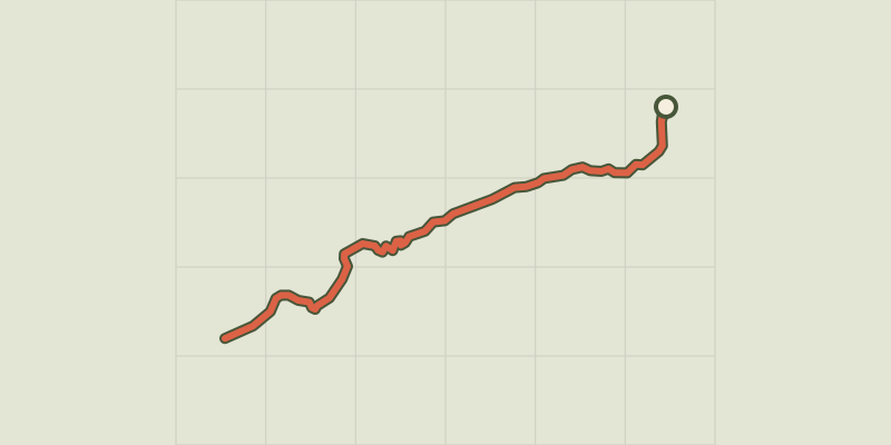 © OpenStreetMap, SRTM · OpenTopoMap (CC-BY-SA)
Le Belvédère de l'homme
Écrins, Villar-d'Arêne (05) · Out and backOfficial rating by Parc national des Écrins © OpenStreetMap, SRTM · OpenTopoMap (CC-BY-SA)
Crossing from Lautaret to Alpe de Villar
Écrins, Villar-d'Arêne (05) · Out and backOfficial rating by Parc national des Écrins © OpenStreetMap, SRTM · OpenTopoMap (CC-BY-SA)
The Arsine corrie via the Crevasses path
Écrins, Villar-d'Arêne (05) · Out and backOfficial rating by Parc national des Écrins