
GPX tracks in Écrins
375 GPX tracks in Écrins, with distance, elevation gain and time for each track. Filter by department, sport, distance, elevation gain and time.
Departments in Écrins
Filter the list below by department.
Regions
Pick a region on the map or below. Grey regions have no tracks yet.
All GPX tracks in Écrins
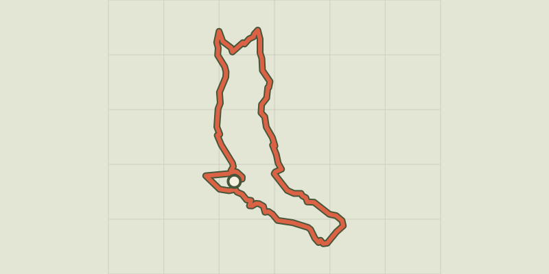
 © OpenStreetMap, SRTM · OpenTopoMap (CC-BY-SA)
Exploring the hamlets of Vallouise and Pelvoux
Écrins, Vallouise-Pelvoux (05) · LoopOfficial rating by Parc national des Écrins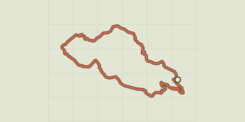
 © OpenStreetMap, SRTM · OpenTopoMap (CC-BY-SA)
Aiguilles de Chabrières
Écrins, Réallon (05) · LoopOfficial rating by Parc national des Écrins
 © OpenStreetMap, SRTM · OpenTopoMap (CC-BY-SA)
Au fil de la Romanche
Écrins, La Grave (05) · Out and backOfficial rating by Parc national des Écrins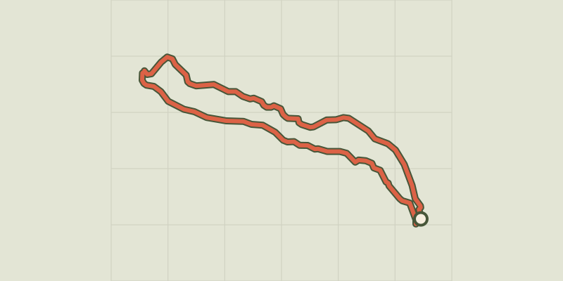 © OpenStreetMap, SRTM · OpenTopoMap (CC-BY-SA)
Around Les Vigneaux and Grand Parcher
Écrins, Les Vigneaux (05) · LoopOfficial rating by Parc national des Écrins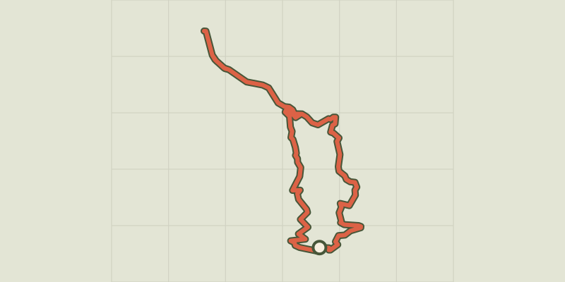
 © OpenStreetMap, SRTM · OpenTopoMap (CC-BY-SA)
At the gateway to the Ecrins
Écrins, Savines-le-Lac (05) · LoopOfficial rating by Parc national des Écrins © OpenStreetMap, SRTM · OpenTopoMap (CC-BY-SA)
Balade autour des hameaux de Villar d'Arène
Écrins, Villar-d'Arêne (05) · LoopOfficial rating by Parc national des Écrins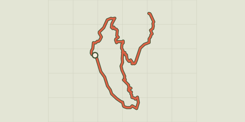 © OpenStreetMap, SRTM · OpenTopoMap (CC-BY-SA)
Balcon de l'Oussella and Quille du Laus
Écrins, Réallon (05) · LoopOfficial rating by Parc national des Écrins © OpenStreetMap, SRTM · OpenTopoMap (CC-BY-SA)
The Roche Rousse belvedere
Écrins, Châteauroux-les-Alpes (05) · Out and backOfficial rating by Parc national des Écrins © OpenStreetMap, SRTM · OpenTopoMap (CC-BY-SA)
Bouchier et le Clot de la Siva
Écrins, Les Vigneaux (05) · LoopOfficial rating by Parc national des Écrins
 © OpenStreetMap, SRTM · OpenTopoMap (CC-BY-SA)
Loop 49 - Clos Besson and Lake St Apollinaire
Écrins, Réallon (05) · LoopOfficial rating by Parc national des Écrins © OpenStreetMap, SRTM · OpenTopoMap (CC-BY-SA)
Loop 50 - Les Puy
Écrins, Puy-Saint-Eusèbe (05) · LoopOfficial rating by Parc national des Écrins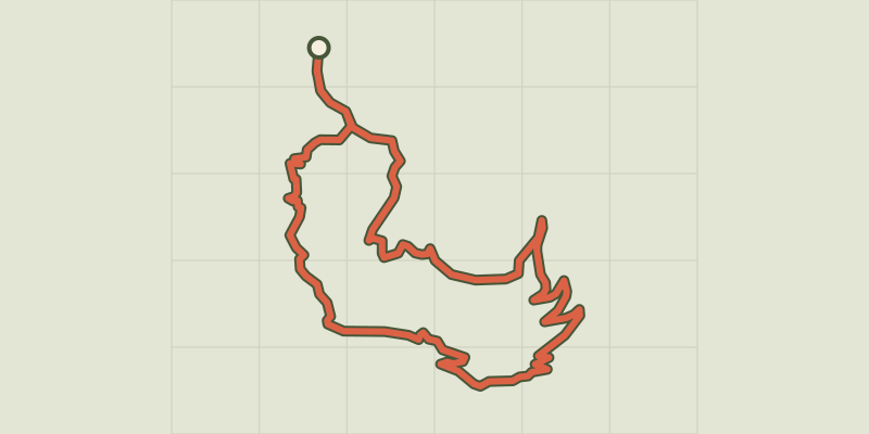 © OpenStreetMap, SRTM · OpenTopoMap (CC-BY-SA)
Loop 51 - Les Pins
Écrins, Puy-Saint-Eusèbe (05) · LoopOfficial rating by Parc national des Écrins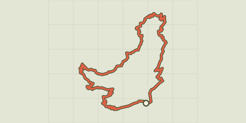 © OpenStreetMap, SRTM · OpenTopoMap (CC-BY-SA)
Loop 52 - The Balconies of Mont Guillaume
Écrins, Embrun (05) · LoopOfficial rating by Parc national des Écrins © OpenStreetMap, SRTM · OpenTopoMap (CC-BY-SA)
Loop 53 - Les Fontainiers
Écrins, Châteauroux-les-Alpes (05) · LoopOfficial rating by Parc national des Écrins © OpenStreetMap, SRTM · OpenTopoMap (CC-BY-SA)
Loop 54 - Les Pinées
Écrins, Châteauroux-les-Alpes (05) · LoopOfficial rating by Parc national des Écrins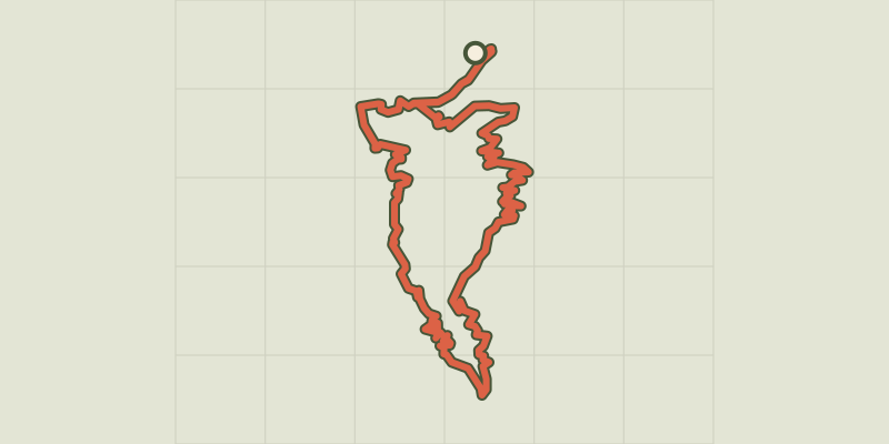 © OpenStreetMap, SRTM · OpenTopoMap (CC-BY-SA)
Loop 61 - Le Boscodon
Écrins, Embrun (05) · LoopOfficial rating by Parc national des Écrins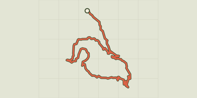 © OpenStreetMap, SRTM · OpenTopoMap (CC-BY-SA)
Loop 62 - Pierre Arnoux
Écrins, Savines-le-Lac (05) · LoopOfficial rating by Parc national des Écrins © OpenStreetMap, SRTM · OpenTopoMap (CC-BY-SA)
Oussella loop
Écrins, Réallon (05) · LoopOfficial rating by Parc national des Écrins © OpenStreetMap, SRTM · OpenTopoMap (CC-BY-SA)
Cabane de l'Aiguille loop
Écrins, Embrun (05) · LoopOfficial rating by Parc national des Écrins © OpenStreetMap, SRTM · OpenTopoMap (CC-BY-SA)
Boucle de la Grave à Villar d'Arène
Écrins, La Grave (05) · LoopOfficial rating by Parc national des Écrins © OpenStreetMap, SRTM · OpenTopoMap (CC-BY-SA)
Boucle de la Gravière, Arsine, Villar d'Arène
Écrins, Villar-d'Arêne (05) · LoopOfficial rating by Parc national des Écrins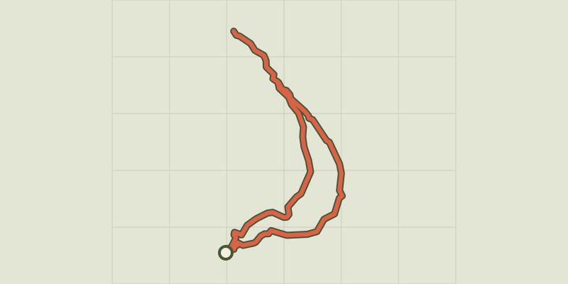 © OpenStreetMap, SRTM · OpenTopoMap (CC-BY-SA)
Saint-Alban loop
Écrins, Châteauroux-les-Alpes (05) · LoopOfficial rating by Parc national des Écrins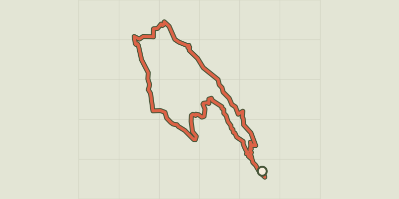 © OpenStreetMap, SRTM · OpenTopoMap (CC-BY-SA)
Boucle du gros Têt depuis le Chazelet
Écrins, La Grave (05) · LoopOfficial rating by Parc national des Écrins © OpenStreetMap, SRTM · OpenTopoMap (CC-BY-SA)
Morgon loop
Écrins, Crots (05) · LoopOfficial rating by Parc national des Écrins