
Le Fort

Key facts
- Distance
- 9.2 km
- Ascent
- +290 m
- Descent
- −264 m
- Estimated time
- 1 hr 10
- mtb
- Difficulty
- Moderate
- official rating
- Route
- Loop
- back to the start
Profile and gradient
- under 10%
- 10 to 20%
- over 20%
Gradient along the route: 6.9 km under 10% and 2.3 km at 10 to 20%. Elevation from 1,327 m to 1,579 m over 9.2 km.
Description
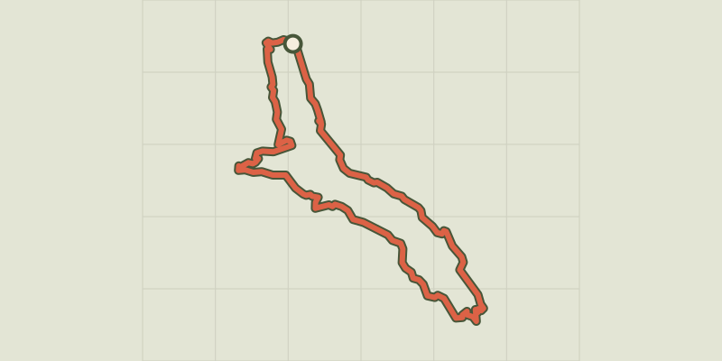
Treat yourself to a mountain bike outing in the beautiful Réallon valley, dominated by the ruins of the medieval castle. Explore the Réallon valley, a wild and unspoilt verdant setting where you can still see a few traces of ancient occupation, such as the ruins of the fort of Réallon and the old village. - Start at the bridge over the Réallon stream then descend the road taken on the outward stretch. Then take a small path on the left, about 200m further on. Cross the fields and turn right at the intersection with a wide track. Cross the stream of la Sauche then turn left. Follow a small path on the mountainside. - Descend to the right shortly before the fort of Réallon. Turn right after a stony and slightly technical descent. Reach a car park at Reallon and then cross the road. Join the departmental road. - Turn left and then immediately right onto a small road that descends and continues along a footpath. Cross the bridge and continue left on the same path after a steep climb with two crossings over the stream. - Turn right onto a wide path. Cross the stream again, then travel alongside it. Turn right when the path seems to split in two, continuing up the stream. - Then follow the road closest to the river towards the camp-site, then turn left just before the car park. Turn right just before crossing the river to get back to the starting point
Difficulty
Official rating: moderate, by Parc national des Écrins.
Getting there
Start: Les Gourniers, Réallon, Réallon (05).
Sources
- Track: Parc national des Écrins, Licence Ouverte 2.0, Licence Ouverte 2.0 (Etalab) (destination.ecrins-parcnational.fr/trek/993199-N31---Le-Fort). Time estimated by GPX Path with the Mac app rule, breaks not included.
- Official elevation gain: 290 m, Parc national des Écrins
Nearby tracks
 © OpenStreetMap, SRTM · OpenTopoMap (CC-BY-SA)
Vaucluse loop
Écrins, Réallon (05) · LoopOfficial rating by Parc national des Écrins © OpenStreetMap, SRTM · OpenTopoMap (CC-BY-SA)
Les Mallets
Écrins, Réallon (05) · LoopOfficial rating by Parc national des Écrins © OpenStreetMap, SRTM · OpenTopoMap (CC-BY-SA)
Enduro de Joubelle
Écrins, Réallon (05) · Point to pointOfficial rating by Parc national des Écrins © OpenStreetMap, SRTM · OpenTopoMap (CC-BY-SA)
Le lac de Saint-Apollinaire
Écrins, Saint-Apollinaire (05) · LoopOfficial rating by Parc national des Écrins © OpenStreetMap, SRTM · OpenTopoMap (CC-BY-SA)
Les Pins
Écrins, Puy-Saint-Eusèbe (05) · LoopOfficial rating by Parc national des Écrins © OpenStreetMap, SRTM · OpenTopoMap (CC-BY-SA)
Tour of Champsaur by mountain bike - 5 days
Écrins, Ancelle (05) · Point to pointOfficial rating by Parc national des Écrins