
Ondinette (trail route no. 18)

Key facts
- Distance
- 7.6 km
- Ascent
- +202 m
- Descent
- −180 m
- Estimated time
- 55 min
- trail running
- Difficulty
- Very easy
- official rating
- Route
- Loop
- back to the start
Profile and gradient
- under 10%
- 10 to 20%
- over 20%
Gradient along the route: 6.4 km under 10% and 1.1 km at 10 to 20%. Elevation from 1,148 m to 1,319 m over 7.6 km.
Description
Starting out from Vallouise, a cool, fresh trail along both banks of the Onde. “This trail is a must on hot summer days because it offers the coolness of the river, with several stretches along its banks, the deep shade of the forest and a pleasant break by the Cascade de la Pissette!” Marie-Geneviève Nicolas, park ranger at the Parc National des Écrins From the campsite, head to the village square in front of the church and take the narrow lane (between the church and the shop called "Les Vaudois") which runs through old Vallouise. - Take a road running downhill on the left and then turn right towards the bridge, the Pont des Fontaines. Follow the track, which soon runs into the Onde valley and starts a long climb up the left-hand bank of the river. It joins the road just before a bridge, the Pont des Places, which you cross. - Continue straight on towards Narreyroux. This lovely track edged by low walls rises gently through the forest. It joins a track which you follow, heading downhill. - Follow the path on the right which climbs up towards Narreyroux and the Pont des Fontaines and, after two hairpins, take the path leading off to the Pont des Fontaines and Vallouise. Head downhill past the waterfall (Cascade de la Pissette) and, when you come to the track, turn right. Stay on the right-hand bank of the Onde until you reach the Pont de Gérendoine, and then continue straight on along the road. - After the Park Centre ("Maison du Parc"), turn left and back to your starting point.
Difficulty
Official rating: very easy, by Parc national des Écrins.
Before you go
- Before setting off, it is very important to check the opening periods for this route on the website: https://stationdetrail.com/fr/stations/le-pays-des-ecrins/parcours
- Share your photographs on social networks with #stationdetrailecrins
- Check weather conditions before setting off.
- Rescue services contact details: Secours Montagne (Mountain Rescue): +33 (0)4 92 22 22 22 or 112
- Show consideration for the work of farmers, livestock keepers and owners
- Close all gates behind you
- Take your litter home
- Do not take shortcuts across pastureland
- The trail routes are also suitable for walking
Getting there
Start: Camping Huttopia, Vallouise, Vallouise-Pelvoux (05).
Sources
- Track: Parc national des Écrins, Licence Ouverte 2.0, Licence Ouverte 2.0 (Etalab) (destination.ecrins-parcnational.fr/trek/959288-Trail-N18---Ondinette). Time estimated by GPX Path with the Mac app rule, breaks not included.
- Official elevation gain: 202 m, Parc national des Écrins
Nearby tracks

 © OpenStreetMap, SRTM · OpenTopoMap (CC-BY-SA)
Puy Aillaud (trail route no. 19)
Écrins, Vallouise-Pelvoux (05) · LoopOfficial rating by Parc national des Écrins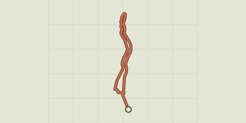 © OpenStreetMap, SRTM · OpenTopoMap (CC-BY-SA)
The Balade du Pêcheur - Fisherman's Trail (trail route no. 17)
Écrins, Vallouise-Pelvoux (05) · LoopOfficial rating by Parc national des Écrins © OpenStreetMap, SRTM · OpenTopoMap (CC-BY-SA)
Trailounet (trail route no.16)
Écrins, Vallouise-Pelvoux (05) · LoopOfficial rating by Parc national des Écrins © OpenStreetMap, SRTM · OpenTopoMap (CC-BY-SA)
Kilomètre Vertical - Vallouise-Pelvoux
Écrins, Vallouise-Pelvoux (05) · Out and backOfficial rating by Parc national des Écrins © OpenStreetMap, SRTM · OpenTopoMap (CC-BY-SA)
Trail N°24 - Le circuit du Béal
Écrins, Puy-Saint-Vincent (05) · LoopOfficial rating by Parc national des Écrins © OpenStreetMap, SRTM · OpenTopoMap (CC-BY-SA)
Trail N°25 - D'Oréac à Narreyroux
Écrins, Puy-Saint-Vincent (05) · LoopOfficial rating by Parc national des Écrins