
Serre-Verger circuit

Key facts
- Distance
- 10.3 km
- Ascent
- +466 m
- Descent
- −444 m
- Estimated time
- 1 hr 40
- mtb
- Difficulty
- Moderate
- official rating
- Route
- Loop
- back to the start
Profile and gradient
- under 10%
- 10 to 20%
- over 20%
Gradient along the route: 7.2 km under 10%, 2.3 km at 10 to 20% and 0.8 km over 20%. Elevation from 799 m to 1,210 m over 10.3 km.
Description
A short but demanding loop winding through the pine trees overlooking Lac de Serre-Ponçon. A route alternating between forest tracks and narrow paths winding around century-old pine trees. The waters of the lake sometimes shimmer through the branches, giving Serre-Verger wood its special charm. - Take a small street uphill from the car park. Turn left 100m further up and continue along the small tarmac road. This one heads deep into the woods. First leave the paths to the right or left to take the route de Serre-Verger, then take the wide track on the left. Continue straight on at the next intersection. At the next junction with a panoramic view of the lake, follow Boscodon to the right. Continue to the ruins of Villard Robert. - From there, take the route de la Blache. 700m further on, turn right to follow the Clot Charron forest road. Continue along this road for around 1.5 km before taking a small path to the right. - Once you reach a flat spot with a picnic table, continue your descent by turning right. At this point, rejoin the forest track taken on the outward journey in the opposite direction. After 600m on this track, turn right onto a single-track road with tight bends through the pines. This technical descent stretches for 1km before rejoining the Nationale 94. - Turn left onto the N94 and left again in front of the first few shops. Then turn right through the centre of Savines and straight on at the roundabout to rejoin the small road taken at the beginning and the starting point.
Difficulty
Official rating: moderate, by Parc national des Écrins.
Getting there
Start: Savines-le-Lac, Savines-le-Lac (05).
Sources
- Track: Parc national des Écrins, Licence Ouverte 2.0, Licence Ouverte 2.0 (Etalab) (destination.ecrins-parcnational.fr/trek/991034-N25---Serre-Verger). Time estimated by GPX Path with the Mac app rule, breaks not included.
- Official elevation gain: 466 m, Parc national des Écrins
Nearby tracks

 © OpenStreetMap, SRTM · OpenTopoMap (CC-BY-SA)
La Maniane
Écrins, Savines-le-Lac (05) · LoopOfficial rating by Parc national des Écrins © OpenStreetMap, SRTM · OpenTopoMap (CC-BY-SA)
Les Pins
Écrins, Puy-Saint-Eusèbe (05) · LoopOfficial rating by Parc national des Écrins © OpenStreetMap, SRTM · OpenTopoMap (CC-BY-SA)
Combe de l'Izoard loop
Écrins, Crots (05) · LoopOfficial rating by Parc national des Écrins © OpenStreetMap, SRTM · OpenTopoMap (CC-BY-SA)
Enduro de frozane
Écrins, Embrun (05) · Point to pointOfficial rating by Parc national des Écrins © OpenStreetMap, SRTM · OpenTopoMap (CC-BY-SA)
Le lac de Saint-Apollinaire
Écrins, Saint-Apollinaire (05) · LoopOfficial rating by Parc national des Écrins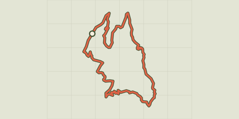 © OpenStreetMap, SRTM · OpenTopoMap (CC-BY-SA)
Clot Besson
Écrins, Crots (05) · LoopOfficial rating by Parc national des Écrins