
The Montbrison tour (trail route no. 13)

Key facts
- Distance
- 31.6 km
- Ascent
- +1,920 m
- Descent
- −1,782 m
- Estimated time
- 4 hr 55
- trail running
- Difficulty
- Difficult
- official rating
- Route
- Loop
- back to the start
Profile and gradient
- under 10%
- 10 to 20%
- over 20%
Gradient along the route: 15.6 km under 10%, 12.5 km at 10 to 20% and 3.5 km over 20%. Elevation from 1,083 m to 2,593 m over 31.6 km.
Description
A splendid circuit around the Montbrison massif against a backdrop of pine forests, alpine pastures and cliffs, its high point being a stunning crossing over the Col de Vallouise. “This is a mega-itinerary. Of course, the highlight is the crossing over the Col de Vallouise, at the end of a long climb. A splendid descent through alpine pastures awaits us, before entering the forest again.” Marie-Geneviève Nicolas, park ranger at the Parc National des Écrins. From the Le Courounba campsite, head to the bridge spanning the Gyronde. Turn right as you exit the bridge. - Turn left after the restaurants and carry on along the Rif Cros mountain stream. - Fork left and cross the mountain stream. Follow the hairpin track and balcony traverse until you come to the hamlet of Le Bouchier. Carry on uphill. - Continue on the left-hand track to reach the Col de la Trancoulette. - At the Col de la Trancoulette start the descent to the left, taking the marked route on the south-facing side of the valley to return to Les Vigneaux and your starting point.
Difficulty
Official rating: difficult, by Parc national des Écrins.
Before you go
- Before setting off, it is very important to check the opening periods for this route on the website: https://stationdetrail.com/fr/stations/le-pays-des-ecrins/parcours
- Share your photographs on social networks with #stationdetrailecrins
- Check weather conditions before setting off.
- Rescue services contact details: Secours Montagne (Mountain Rescue): +33 (0)4 92 22 22 22 or 112
- Show consideration for the work of farmers, livestock keepers and owners
- Close all gates behind you
- Take your litter home
- Do not take shortcuts across pastureland
- The trail routes are also suitable for walking
Getting there
Start: Parking pont du Rif, Les Vigneaux, Les Vigneaux (05).
Sources
- Track: Parc national des Écrins, Licence Ouverte 2.0, Licence Ouverte 2.0 (Etalab) (destination.ecrins-parcnational.fr/trek/958306-Trail-N13---Le-tour-du-Montbrison). Time estimated by GPX Path with the Mac app rule, breaks not included.
- Official elevation gain: 1,920 m, Parc national des Écrins
Nearby tracks

 © OpenStreetMap, SRTM · OpenTopoMap (CC-BY-SA)
The Bois de Parapin - Parapin wood (trail route no. 1)
Écrins, Les Vigneaux (05) · LoopOfficial rating by Parc national des Écrins © OpenStreetMap, SRTM · OpenTopoMap (CC-BY-SA)
The Collet de la Salcette (trail route no. 10)
Écrins, Les Vigneaux (05) · LoopOfficial rating by Parc national des Écrins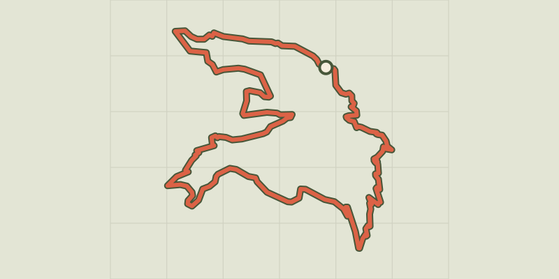 © OpenStreetMap, SRTM · OpenTopoMap (CC-BY-SA)
The Col de la Pousterle (trail route no. 5)
Écrins, Les Vigneaux (05) · LoopOfficial rating by Parc national des Écrins © OpenStreetMap, SRTM · OpenTopoMap (CC-BY-SA)
Trail N°24 - Le circuit du Béal
Écrins, Puy-Saint-Vincent (05) · LoopOfficial rating by Parc national des Écrins © OpenStreetMap, SRTM · OpenTopoMap (CC-BY-SA)
Trail N°09 - Bois de France
Écrins, L'Argentière-la-Bessée (05) · LoopOfficial rating by Parc national des Écrins © OpenStreetMap, SRTM · OpenTopoMap (CC-BY-SA)
Trail N°25 - D'Oréac à Narreyroux
Écrins, Puy-Saint-Vincent (05) · LoopOfficial rating by Parc national des Écrins