
Auribeau - Tour de Saint-Pierre

Key facts
- Distance
- 2.7 km
- Ascent
- +149 m
- Descent
- −128 m
- Estimated time
- 55 min
- hiking
- Difficulty
- Easy
- official rating
- Route
- Loop
- back to the start
Profile and gradient
- under 10%
- 10 to 20%
- over 20%
Gradient along the route: 1.7 km under 10%, 0.5 km at 10 to 20% and 0.5 km over 20%. Elevation from 585 m to 711 m over 2.7 km.
Description
Difficulty
Official rating: easy, by Parcs naturels régionaux de Provence-Alpes-Côte d'Azur.
Getting there
Start: Parking municipal (entrée nord du village), Auribeau, Auribeau (84).
Sources
- Track: Parcs naturels régionaux de Provence-Alpes-Côte d'Azur (Chemins des Parcs), Licence Ouverte 2.0, Licence Ouverte 2.0 (Etalab) (www.cheminsdesparcs.fr/trek/133909-AURIBEAU---Tour-de-Saint-Pierre). Time estimated by GPX Path with the Mac app rule, breaks not included.
- Official elevation gain: 149 m, Parcs naturels régionaux de Provence-Alpes-Côte d'Azur
Nearby tracks
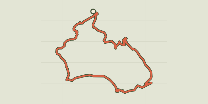
 © OpenStreetMap, SRTM · OpenTopoMap (CC-BY-SA)
Auribeau - Mourre Nègre et biodiversité en chemin
Luberon, Auribeau (84) · LoopOfficial rating by Parcs naturels régionaux de Provence-Alpes-Côte d'Azur © OpenStreetMap, SRTM · OpenTopoMap (CC-BY-SA)
Le Mourre Nègre, northern side
Luberon, Auribeau (84) · LoopOfficial rating by Parcs naturels régionaux de Provence-Alpes-Côte d'Azur © OpenStreetMap, SRTM · OpenTopoMap (CC-BY-SA)
The Claparèdes plateau
Luberon, Saignon (84) · LoopOfficial rating by Parcs naturels régionaux de Provence-Alpes-Côte d'Azur © OpenStreetMap, SRTM · OpenTopoMap (CC-BY-SA)
Saignon, La Gardette path
Luberon, Saignon (84) · LoopOfficial rating by Parcs naturels régionaux de Provence-Alpes-Côte d'Azur © OpenStreetMap, SRTM · OpenTopoMap (CC-BY-SA)
The Claparèdes plateau
Luberon, Saignon (84) · LoopOfficial rating by Parcs naturels régionaux de Provence-Alpes-Côte d'Azur © OpenStreetMap, SRTM · OpenTopoMap (CC-BY-SA)
Apt - Petit tour de Rocsalière
Luberon, Saignon (84) · LoopOfficial rating by Parcs naturels régionaux de Provence-Alpes-Côte d'Azur