
Chemin des cèdres trail

Key facts
- Distance
- 1.2 km
- Ascent
- +11 m
- Descent
- −5 m
- Estimated time
- 15 min
- hiking
- Difficulty
- Very easy
- official rating
- Route
- Loop
- back to the start
Profile and gradient
- under 10%
- 10 to 20%
- over 20%
Gradient along the route: 1.2 km under 10%. Elevation from 701 m to 711 m over 1.2 km.
Description
An emblematic path, a true emotion, the pleasure of being in the forest, the magic of the majestic cedars, the shared happiness ... « Since my accident with my wheelchair, this is the first time I can feel directly, flesh to flesh, the unique vital force within a tree. This loop of 1 200m under the tall cedars, with five areas of interpretation, is a real treat.! It offers everyone, including people with visual, hearing, mental or physical disabilities like me, the opportunity to reconnect with nature.». Alain A., victim of a personal accident. Go to the far end of the car park, cross the barrier by the dedicated pedestrian crossing and reach the welcome sign. Continue a few metres to reach to the starting area ofthe "Chemin des cèdres" trail. 1 - Follow on the right the route accessible to people with disabilities, signposted in blue. After a slight false flat, pass the cedar lyre, cross a farm road and continue on the opposite side. Reach a clearing and the interpretation area of the forest and life. Continue the path, pass the Cedar candelabra and reach the crossroads'Bois roustan''. 2 - Turn left and on 220m, take the left edge of the forest track, then when at the communal forest limit sign, turn right onto the path that sinks into the undergrowth. After the area of interpretation on pastoralism, keep on the main road or, slightly more playful, turn left into the labyrinth and maze of decking to return to the route a little further. easily reach the starting point of the''Chemin des Cèdres'' trail and turn right to return to the car park.
Difficulty
Official rating: very easy, by Parcs naturels régionaux de Provence-Alpes-Côte d'Azur.
Before you go
- The forest site is opened to the public in the afternoon in case of ''severe'' fire risk, but closed in case of ''exceptional'' fire risk.
Getting there
Start: Parking forêt des cèdres du Petit Luberon, Bonnieux (84).
Sources
- Track: Parcs naturels régionaux de Provence-Alpes-Côte d'Azur (Chemins des Parcs), Licence Ouverte 2.0, Licence Ouverte 2.0 (Etalab) (www.cheminsdesparcs.fr/trek/20559-BONNIEUX---LACOSTE---Chemin-des-Cedres). Time estimated by GPX Path with the Mac app rule, breaks not included.
- Official elevation gain: 11 m, Parcs naturels régionaux de Provence-Alpes-Côte d'Azur
Nearby tracks

 © OpenStreetMap, SRTM · OpenTopoMap (CC-BY-SA)
Bonnieux - LACOSTE - Le Portalas
Luberon, Bonnieux (84) · Out and backOfficial rating by Parcs naturels régionaux de Provence-Alpes-Côte d'Azur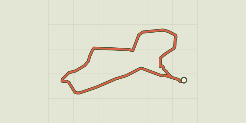 © OpenStreetMap, SRTM · OpenTopoMap (CC-BY-SA)
Bonnieux -Lacoste - Bois du Pré de Roustan
Luberon, Bonnieux (84) · LoopOfficial rating by Parcs naturels régionaux de Provence-Alpes-Côte d'Azur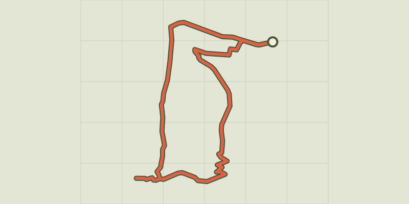 © OpenStreetMap, SRTM · OpenTopoMap (CC-BY-SA)
The Portalas trail
Luberon, Bonnieux (84) · LoopOfficial rating by Parcs naturels régionaux de Provence-Alpes-Côte d'Azur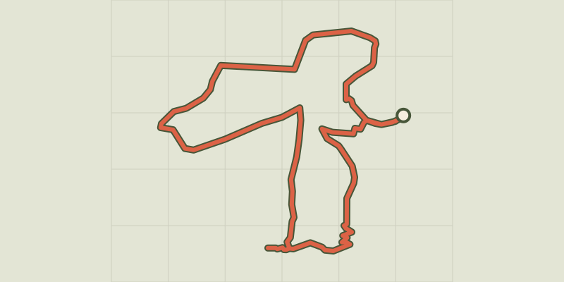 © OpenStreetMap, SRTM · OpenTopoMap (CC-BY-SA)
Bonnieux -Lacoste - Forêt des Cèdres du Petit Luberon
Luberon, Bonnieux (84) · LoopOfficial rating by Parcs naturels régionaux de Provence-Alpes-Côte d'Azur © OpenStreetMap, SRTM · OpenTopoMap (CC-BY-SA)
Lauris - De Recaute à Sautadou
Luberon, Lauris (84) · LoopOfficial rating by Parcs naturels régionaux de Provence-Alpes-Côte d'Azur © OpenStreetMap, SRTM · OpenTopoMap (CC-BY-SA)
Lauris - Portalas et biodiversité en chemin
Luberon, Lauris (84) · LoopOfficial rating by Parcs naturels régionaux de Provence-Alpes-Côte d'Azur