
The Portalas trail

Key facts
- Distance
- 3.5 km
- Ascent
- +105 m
- Descent
- −90 m
- Estimated time
- 1 hr
- hiking
- Difficulty
- Easy
- official rating
- Route
- Loop
- back to the start
Profile and gradient
- under 10%
- 10 to 20%
- over 20%
Gradient along the route: 2.8 km under 10% and 0.7 km at 10 to 20%. Elevation from 631 m to 708 m over 3.5 km.
Description
A magical immersion in the cedar forest, wandering the heart ofthe scrubland and panoramic contemplation on the south of the Luberon ... « I love the contrast between the cedars which by their size and beauty, releasea sense of calm and peace, and the herbaceous vegetation in open areas of the summit’s plateau so dry and windy. The view from Portalas allows you to see the south side of the Petit Luberon and its valley bottoms of holm oaks. Lastly, the nearby rocky areas are home to several species of raptors. Let's just say lots of excitement! ». Laurent Michel, botanist at the RNP of Luberon. Go to the far end of the car park, cross the barrier by the dedicated pedestrian crossing and reach the welcome sign. Continue a few metres to reach to the starting area of the Portalas trail. 1 - Go to the left on the Portalas trail, yellow arrow. Continue about thirty metres on the itinerary accessible to people with disabilities and take a right at the labyrinth and its maze of decking. Come a little further back on the main route and regain the area of interpretation on pastoralism. Exit the "Chemin des Cèdres" trail to take the path on the left. 20m further, turn right and go down slowly to the shaded valley. After the well-marked left hand turn, continue descending for 600m. Upon arriving at a coal production site (point 623), leave the valley and take a right on a winding path. 2 - At the crossroads "Le Portalas", turn right. Continue on the path between boxwoods and oaks. Just after a rocky ledge, turn left and climb a steep path to reach the edge of the plateau and its panoramic view. 3 - Continue straight on the plateau and 70m further, turn right. Follow the path that goes into the woods. Continue straight until the paved forest path. 4 - At the crossroads "Bois Roustan” turn right and follow the forest track to return to the car park. Alternative route for the return: from the crossroads "Bois Roustan" (point 4), return to the car park following in the opposite direction the "Chemin des Cèdres" trail that winds through the woods behind the interpretation area "Forest exploited by man".
Difficulty
Official rating: easy, by Parcs naturels régionaux de Provence-Alpes-Côte d'Azur.
Before you go
- Caution with your ankles and some of the rocky passages.
Getting there
Start: Parking forêt des cèdres du Petit Luberon, Bonnieux (84).
Sources
- Track: Parcs naturels régionaux de Provence-Alpes-Côte d'Azur (Chemins des Parcs), Licence Ouverte 2.0, Licence Ouverte 2.0 (Etalab) (www.cheminsdesparcs.fr/trek/8181-BONNIEUX---LACOSTE---Sentier-du-Portalas). Time estimated by GPX Path with the Mac app rule, breaks not included.
- Official elevation gain: 105 m, Parcs naturels régionaux de Provence-Alpes-Côte d'Azur
Nearby tracks
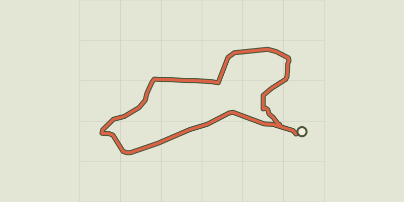
 © OpenStreetMap, SRTM · OpenTopoMap (CC-BY-SA)
Bonnieux -Lacoste - Bois du Pré de Roustan
Luberon, Bonnieux (84) · LoopOfficial rating by Parcs naturels régionaux de Provence-Alpes-Côte d'Azur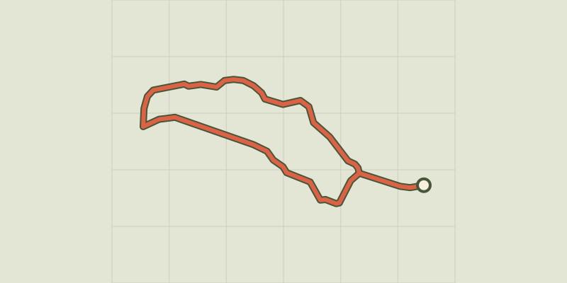 © OpenStreetMap, SRTM · OpenTopoMap (CC-BY-SA)
Chemin des cèdres trail
Luberon, Bonnieux (84) · LoopOfficial rating by Parcs naturels régionaux de Provence-Alpes-Côte d'Azur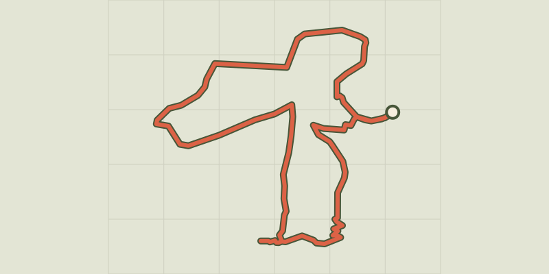 © OpenStreetMap, SRTM · OpenTopoMap (CC-BY-SA)
Bonnieux -Lacoste - Forêt des Cèdres du Petit Luberon
Luberon, Bonnieux (84) · LoopOfficial rating by Parcs naturels régionaux de Provence-Alpes-Côte d'Azur © OpenStreetMap, SRTM · OpenTopoMap (CC-BY-SA)
Bonnieux - LACOSTE - Le Portalas
Luberon, Bonnieux (84) · Out and backOfficial rating by Parcs naturels régionaux de Provence-Alpes-Côte d'Azur © OpenStreetMap, SRTM · OpenTopoMap (CC-BY-SA)
Lauris - De Recaute à Sautadou
Luberon, Lauris (84) · LoopOfficial rating by Parcs naturels régionaux de Provence-Alpes-Côte d'Azur © OpenStreetMap, SRTM · OpenTopoMap (CC-BY-SA)
Lauris - Portalas et biodiversité en chemin
Luberon, Lauris (84) · LoopOfficial rating by Parcs naturels régionaux de Provence-Alpes-Côte d'Azur