
The Ochres by bike
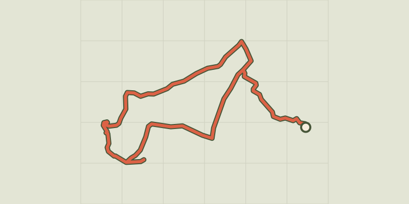
Key facts
- Distance
- 18.3 km
- Ascent
- +262 m
- Descent
- −201 m
- Estimated time
- 1 hr 05
- road cycling
- Difficulty
- Easy
- official rating
- Route
- Loop
- back to the start
Profile and gradient
- under 10%
- 10 to 20%
- over 20%
Gradient along the route: 18.3 km under 10%. Elevation from 232 m to 317 m over 18.3 km.
Description
A colourful route! With exceptional landscapes, ochre sites, underground or open-air quarries and colourful villages. « Through small picturesque roads, this ride follows the western part of the route"The Ochres by bike". Accessible to all, it goes through the Mines of Bruoux in Gargas, through Roussillon, one of the most beautiful landscapes and villages of Luberon, then stops at the Conservatoire of Ochres. I love this land of many substances, textures and colours, where the light plays along with the changing seasons. Immerse yourself in the stunning beauty of these places! » Sylvie Palpant, Managing Director of Vélo Loisir Provence. Across of the pharmacy, go right to reach below the small roundabout and turn left towards Lombards. Calmly climb to reach a crossing. At the stop sign, turn right and follow the route"The Ochres by bike". Reach the Mines of Bruoux. Then continue to the hamlet of Lombards. Exit through the right and get to the crossroads. 1 - Take a sharp right and at the corner of the campsite, turn left. Come out on the D227 and take a left for 2km. At the crossing with the D4, continue across on the D227 towards Roussillon. Climb two hairpin bends, take two lefts and enter the village streets. Go around a blockand reach to the left foot the ramp leading to the ochre trail. 2, Go forward to La Burlière avenue (D105), pass a speed bump and at the next junction, go left. Reach a roundabout and continue left towards Apt. Reach another speed bump and at the Y junction, continue straight on the D104 towards Apt. Get to the Conservatoire of Ochres. 3, Follow the D104, glide through the curves and at the straight line, look out for the small road to the left. Follow it and reach the D4. Cross with the utmost caution and take the small road across, leading to Lombards. Enter a residential area and reach the crossroads you didn't pass on your way going (point 1). 1, Turn right and return to Gargas by the same route as the one used to go.
Difficulty
Official rating: easy, by Parcs naturels régionaux de Provence-Alpes-Côte d'Azur.
Before you go
- This route follows streets opened to public traffic; under all circumstances,so it is therefore essential to respect the highway code. Wearing a helmet is highly recommended, for children as well as adults.!
Getting there
Start: Parking proche de la Poste, Gargas, Gargas (84).
Sources
- Track: Parcs naturels régionaux de Provence-Alpes-Côte d'Azur (Chemins des Parcs), Licence Ouverte 2.0, Licence Ouverte 2.0 (Etalab) (www.cheminsdesparcs.fr/trek/32590-GARGAS---ROUSSILLON---Sur-les-ocres-a-velo). Time estimated by GPX Path with the Mac app rule, breaks not included.
- Official elevation gain: 262 m, Parcs naturels régionaux de Provence-Alpes-Côte d'Azur
Nearby tracks
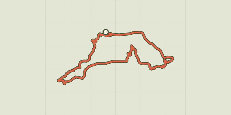
 © OpenStreetMap, SRTM · OpenTopoMap (CC-BY-SA)
Apt - Le plateau des Claparèdes à vélo
Luberon, Apt (84) · LoopOfficial rating by Parcs naturels régionaux de Provence-Alpes-Côte d'Azur © OpenStreetMap, SRTM · OpenTopoMap (CC-BY-SA)
Apt - Les Ocres à vélo
Luberon, Apt (84) · LoopOfficial rating by Parcs naturels régionaux de Provence-Alpes-Côte d'Azur © OpenStreetMap, SRTM · OpenTopoMap (CC-BY-SA)
Saint-Saturnin-lès-Apt - À l'assaut des Monts-de-Vaucluse à vélo
Luberon, Saint-Saturnin-lès-Apt (84) · LoopOfficial rating by Parcs naturels régionaux de Provence-Alpes-Côte d'Azur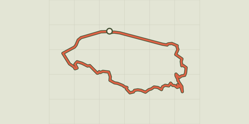 © OpenStreetMap, SRTM · OpenTopoMap (CC-BY-SA)
Perched villages by bike
Luberon, Maubec (84) · LoopOfficial rating by Parcs naturels régionaux de Provence-Alpes-Côte d'Azur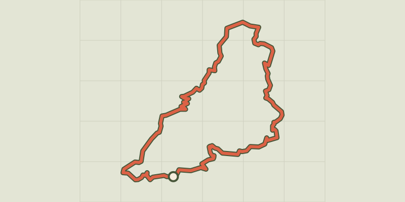 © OpenStreetMap, SRTM · OpenTopoMap (CC-BY-SA)
Céreste-en-Luberon - À vélo, à l'assaut du plateau de Vachères
Luberon, Céreste-en-Luberon (04) · LoopOfficial rating by Parcs naturels régionaux de Provence-Alpes-Côte d'Azur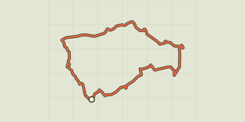 © OpenStreetMap, SRTM · OpenTopoMap (CC-BY-SA)
By bike, between local produce and olives
Luberon, Ansouis (84) · LoopOfficial rating by Parcs naturels régionaux de Provence-Alpes-Côte d'Azur