
By bike, between local produce and olives

Key facts
- Distance
- 23.9 km
- Ascent
- +331 m
- Descent
- −270 m
- Estimated time
- 1 hr 20
- road cycling
- Difficulty
- Easy
- official rating
- Route
- Loop
- back to the start
Profile and gradient
- under 10%
- 10 to 20%
- over 20%
Gradient along the route: 23.9 km under 10%. Elevation from 240 m to 423 m over 23.9 km.
Description
Or how to, from your bike, ferret around the farmlands, enjoy local produce and discover the know-how "Man has developed many cultures on the lands of the Luberon with its geological properties; vines, fruits, vegetables. Pays d'Aigues benefits of irrigation provided by the Canal de Provence and the rich alluvial lands of the plain. The Luberon is a renowned land in several agricultural sectors and the AOC, AOP and IGP labels (European quality certifications), were accredited to this land in the 1980s." says Nathalie Charles - Market researcher for the promotion of agricultural products at the Luberon RNP. With your back to the tourist office, go left on the small road of the Grand Pibaraud area (follow the markings "Le Pays d'Aigues à vélo"). Turn right at the Y-shaped junction and 370m / 400yd further, turn right on Chemin de l'Abouaud Brinde. Come out further on the D37. 1- Take the D37 to the left, towards l'Etang de la Bonde Turn left (D9) and then right (D27). Pass the entrance of the pond and 500m / 546yd further, turn right (D37). Turn left and continue on Chemins des Escabots and continue to the right (D120). 2- Turn left (D165) to reach Saint-Martin-de-la-Brasque. At the Y turn left. At the entrance of the village, cross the alley of plane trees on the right. Turn left on the course of Mont Libre and come out on the D27. 3- Take the D27 to the left until Motte-d'Aigues (follow the markings "Autour du Luberon à vélo"). Go through the village and go to the stadium. Turn right and head towards Cabrières-d'Aigues (D120). Continue straight at the intersection, pass a large curve then head down the roundabout located at the entrance of Cabrières d'Aigues. 4- Continue straight, then take a right onto the Rue du Temple and go through the village. Take the D189 until Cucuron. At the roundabout, take a quick left and then immediately right to get to the town center. 5- At the corner of the Louérion winery, turn left (follow the markings "Le Pays d'Aigues à vélo"). Go down the street from the cemetery and go straight to the roundabout. At the stop sign, turn left (D27), then right towards Ansouis. 250m further, take the Chemin de l'Agrie to the right. Turn left on Chemin de Saint-Estève. At the place called Long Bosquet, weave through the two houses to the left and go down the small road. 6- Turn right onto the Chemin du Praderet and head to the D37. At the stop sign, turn left and reach the tourist office at the foot of the Ansouis village.
Difficulty
Official rating: easy, by Parcs naturels régionaux de Provence-Alpes-Côte d'Azur.
Before you go
- This route follows streets opened to public traffic; so under all circumstances, it is therefore essential to respect the highway code. Wearing a helmet is highly recommended, for children as well as for adults!
Getting there
Start: Place de la Vieille Fontaine (pied nord du village), Ansouis, Ansouis (84).
Sources
- Track: Parcs naturels régionaux de Provence-Alpes-Côte d'Azur (Chemins des Parcs), Licence Ouverte 2.0, Licence Ouverte 2.0 (Etalab) (www.cheminsdesparcs.fr/trek/55444-ANSOUIS---A-velo%2C-entre-terroirs-et-olives). Time estimated by GPX Path with the Mac app rule, breaks not included.
- Official elevation gain: 331 m, Parcs naturels régionaux de Provence-Alpes-Côte d'Azur
Nearby tracks
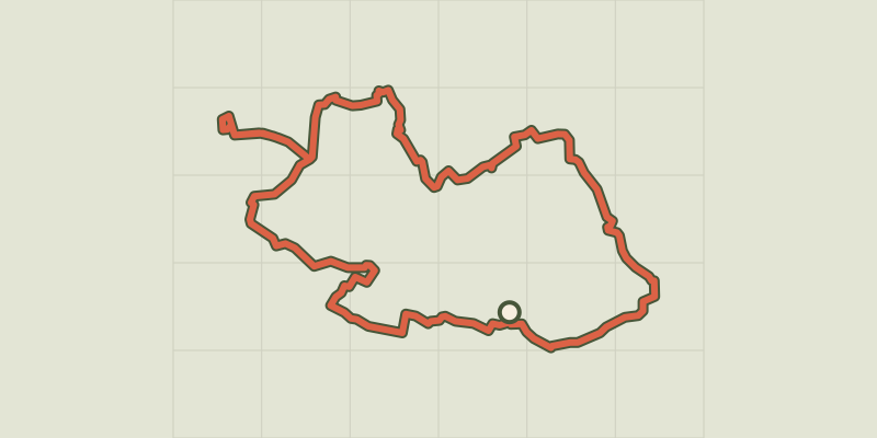
 © OpenStreetMap, SRTM · OpenTopoMap (CC-BY-SA)
Touring the Pays d'Aigues by bike (West)
Luberon, Pertuis (84) · LoopOfficial rating by Parcs naturels régionaux de Provence-Alpes-Côte d'Azur © OpenStreetMap, SRTM · OpenTopoMap (CC-BY-SA)
The Pays d'Aigues by bike
Luberon, Pertuis (84) · Point to pointOfficial rating by Parcs naturels régionaux de Provence-Alpes-Côte d'Azur © OpenStreetMap, SRTM · OpenTopoMap (CC-BY-SA)
On the trail of the Waldensians (Disciples of the Christian movement founded by Peter Waldo)
Luberon, La Tour-d'Aigues (84) · LoopOfficial rating by Parcs naturels régionaux de Provence-Alpes-Côte d'Azur © OpenStreetMap, SRTM · OpenTopoMap (CC-BY-SA)
The vines at the mercy of the bike riding season
Luberon, La Tour-d'Aigues (84) · LoopOfficial rating by Parcs naturels régionaux de Provence-Alpes-Côte d'Azur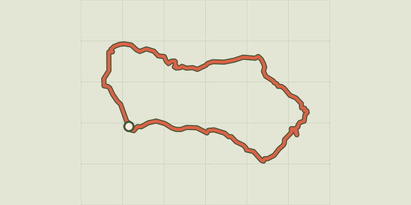 © OpenStreetMap, SRTM · OpenTopoMap (CC-BY-SA)
On the country of Aigues by bike (East)
Luberon, La Tour-d'Aigues (84) · LoopOfficial rating by Parcs naturels régionaux de Provence-Alpes-Côte d'Azur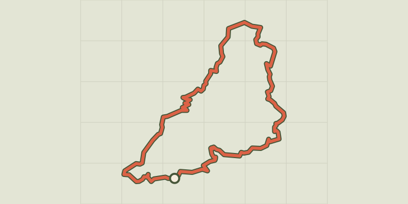 © OpenStreetMap, SRTM · OpenTopoMap (CC-BY-SA)
Céreste-en-Luberon - À vélo, à l'assaut du plateau de Vachères
Luberon, Céreste-en-Luberon (04) · LoopOfficial rating by Parcs naturels régionaux de Provence-Alpes-Côte d'Azur