
Le Serre de Pradal, MTB circuit #13 (graded blue)

Key facts
- Distance
- 13.4 km
- Ascent
- +498 m
- Descent
- −397 m
- Estimated time
- 1 hr 45
- mtb
- Difficulty
- Moderate
- official rating
- Route
- Loop
- back to the start
Profile and gradient
- under 10%
- 10 to 20%
- over 20%
Gradient along the route: 11.7 km under 10% and 1.7 km at 10 to 20%. Elevation from 683 m to 926 m over 13.4 km.
Description
Despite its elevation gain, this route is of medium difficulty because the main climb is on the road. However, it also has superb singletrack sections, which contribute to making it a magnificent MTB circuit. This is a slightly technical route but you are sure to appreciate the views on the Causse Méjean plateau and the return to Rousses along the Tarnon river. Take the road towards Massevaques, Mont Aigoual. After camping, then take the 2nd path on the right (concrete at the start it quickly becomes a track). - Everything starts with a track, then a singletrack, that take you to Les Ablatats. The exit between the houses is a little steep. - You then join the road that climbs to Montcamp and takes you to the route’s highest point, at an altitude of 900 metres. - At the last hairpin bend before you get to Montcamp, take the track on your right. The descent is first on a path among fields with a view of the Causse Méjean, then enters the forest. - At Le Gua, the return to Rousses is on a path that borders the Tarnon.
Difficulty
Official rating: moderate, by Parc national des Cévennes.
Before you go
- Easy but somewhat technical circuit. No off-roading. You are strongly encouraged to wear a helmet. Do not forget your repair kit and a small tool kit. Close barriers and gates behind you. Slow down in farms and hamlets.
Getting there
Start: Rousses, Rousses (48).
Sources
- Track: Parc national des Cévennes, Licence Ouverte 1.0, Licence Ouverte 1.0 (Etalab) (destination.cevennes-parcnational.fr/trek/74728-Le-serre-de-Pradal---VTT-n13). Time estimated by GPX Path with the Mac app rule, breaks not included.
- Official elevation gain: 498 m, Parc national des Cévennes
Nearby tracks

 © OpenStreetMap, SRTM · OpenTopoMap (CC-BY-SA)
The Camisards (by mountain-bike)
Cévennes, Rousses (48) · LoopOfficial rating by Parc national des Cévennes © OpenStreetMap, SRTM · OpenTopoMap (CC-BY-SA)
The Roof of the Cévennes (by mountain-bike)
Cévennes, Rousses (48) · LoopOfficial rating by Parc national des Cévennes © OpenStreetMap, SRTM · OpenTopoMap (CC-BY-SA)
The Corniche des Cévennes (by mountain-bike)
Cévennes, Cans et Cévennes (48) · LoopOfficial rating by Parc national des Cévennes © OpenStreetMap, SRTM · OpenTopoMap (CC-BY-SA)
The Tour du Briançon # 7 (by mountain-bike)
Cévennes, Cans et Cévennes (48) · LoopOfficial rating by Parc national des Cévennes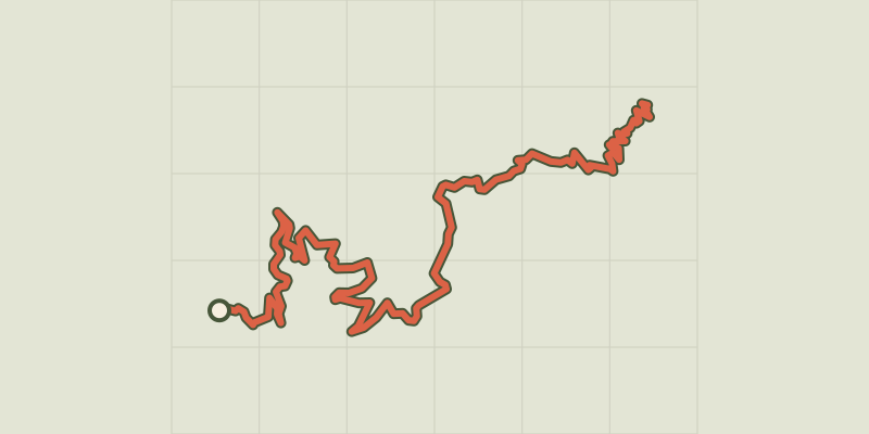 © OpenStreetMap, SRTM · OpenTopoMap (CC-BY-SA)
MTB 12 - The ridges of the Vallée Borgne, graded red
Cévennes, Val-d'Aigoual (30) · Point to pointOfficial rating by Parc national des Cévennes © OpenStreetMap, SRTM · OpenTopoMap (CC-BY-SA)
MTB 11 - Descent to Meyrueis, graded red
Cévennes, Val-d'Aigoual (30) · Point to pointOfficial rating by Parc national des Cévennes