
GPX tracks in France (page 113)
7,023 GPX tracks in France, with distance, elevation gain and time for each track. Pick a region on the map, then filter by department, sport, distance, elevation gain and time.
All GPX tracks in France
Activity : All activities

 Plan IGN © IGN 2026 · track © OpenStreetMapCirculaire anneau rougeVosges, Garrebourg (57) · Loop
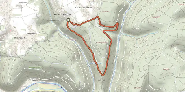 Plan IGN © IGN 2026 · track © OpenStreetMapCirculaire anneau rougeVosges, Phalsbourg (57) · Loop
 Plan IGN © IGN 2026 · track © OpenStreetMapCirculaire de DanneVosges, Danne-et-Quatre-Vents (57) · Loop
 Plan IGN © IGN 2026 · track © OpenStreetMapCirculaire de l'EselsbahnGrand Est, Vilsberg (57) · Loop
 Plan IGN © IGN 2026 · track © OpenStreetMapCirculaire de la Croix de HaspachVosges, Walscheid (57) · Loop
 Plan IGN © IGN 2026 · track © OpenStreetMapCirculaire de la Roche Du ThinVosges, Saint-Étienne-lès-Remiremont (88) · Loop
 Plan IGN © IGN 2026 · track © OpenStreetMapCirculaire de la Sarre à SarrebourgGrand Est, Sarrebourg (57) · Loop
 Plan IGN © IGN 2026 · track © OpenStreetMapCirculaire de Saint-ArnouldVosges, Saint-Amé (88) · Loop
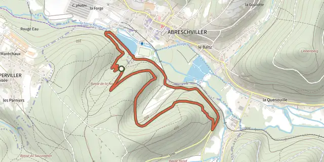 Plan IGN © IGN 2026 · track © OpenStreetMapCirculaire des 4 RochesVosges, Saint-Quirin (57) · Loop
 Plan IGN © IGN 2026 · track © OpenStreetMapCirculaire des CarrièresVosges, Saint-Amé (88) · Loop
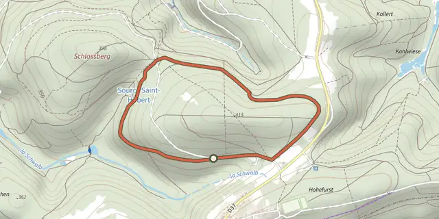 Plan IGN © IGN 2026 · track © OpenStreetMapCirculaire des deux SchlossbergVosges, Lemberg (57) · Loop
 Plan IGN © IGN 2026 · track © OpenStreetMapCirculaire des Étangs de la Demoiselle et du RenardVosges, Saint-Nabord (88) · Loop
 Plan IGN © IGN 2026 · track © OpenStreetMapCirculaire des MoinesVosges, Saint-Étienne-lès-Remiremont (88) · Loop
 Plan IGN © IGN 2026 · track © OpenStreetMapCirculaire du 9ème RAMAVosges, Cleurie (88) · Loop
 Plan IGN © IGN 2026 · track © OpenStreetMapCirculaire du BourguignonVosges, Saint-Quirin (57) · Loop
 Plan IGN © IGN 2026 · track © OpenStreetMapCirculaire du BuchholzkopfVosges, Lutzelbourg (57) · Loop
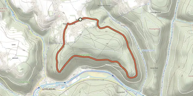 Plan IGN © IGN 2026 · track © OpenStreetMapCirculaire du CentenaireVosges, Phalsbourg (57) · Loop
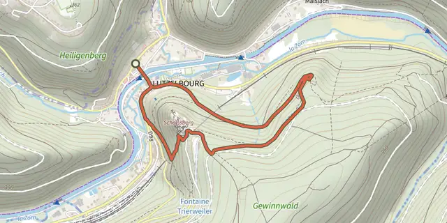 Plan IGN © IGN 2026 · track © OpenStreetMapCirculaire du ChâteauVosges, Lutzelbourg (57) · Loop
 Plan IGN © IGN 2026 · track © OpenStreetMapCirculaire du Cimetière gallo-romain de WalscheidVosges, Walscheid (57) · Loop
 Plan IGN © IGN 2026 · track © OpenStreetMapCirculaire du Haut de HalmozeVosges, Saint-Quirin (57) · Loop
 Plan IGN © IGN 2026 · track © OpenStreetMapCirculaire du Haut du Bon DieuVosges, Saint-Quirin (57) · Loop
 Plan IGN © IGN 2026 · track © OpenStreetMapCirculaire du KirchbergVosges, Wimmenau (67) · Loop
 Plan IGN © IGN 2026 · track © OpenStreetMapCirculaire du la ValetteVosges, Abreschviller (57) · Loop
 Plan IGN © IGN 2026 · track © OpenStreetMapCirculaire du SchiertorfelsenVosges, Eschbourg (67) · Loop