
GPX tracks in France (page 172)
7,023 GPX tracks in France, with distance, elevation gain and time for each track. Pick a region on the map, then filter by department, sport, distance, elevation gain and time.
All GPX tracks in France
Activity : All activities
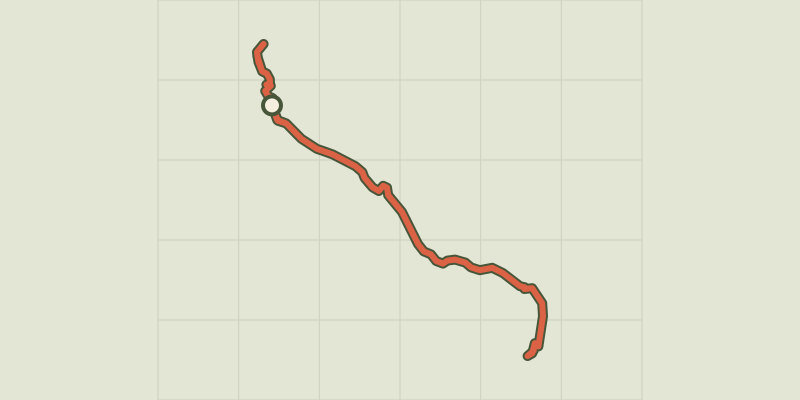
 Plan IGN © IGN 2026Lac des SaraillesProvence-Alpes-Côte d'Azur, Cervières (05) · LoopOfficial rating by Parc national des Écrins
 Plan IGN © IGN 2026Lac du CrachetProvence-Alpes-Côte d'Azur, Crévoux (05) · Out and backOfficial rating by Parc national des Écrins
 Plan IGN © IGN 2026Lac du Goléon depuis les HièresÉcrins, La Grave (05) · Out and backOfficial rating by Parc national des Écrins
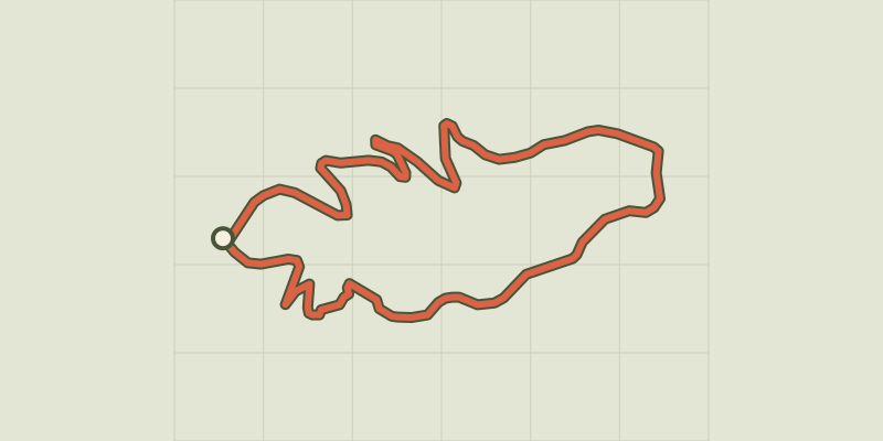 Plan IGN © IGN 2026Lac du LauzerotÉcrins, Crots (05) · LoopOfficial rating by Parc national des Écrins
 Plan IGN © IGN 2026Lac du PontetÉcrins, Villar-d'Arêne (05) · LoopOfficial rating by Parc national des Écrins
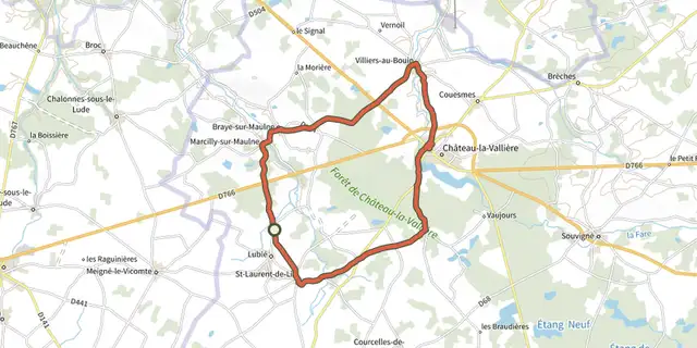
 Plan IGN © IGN 2026Lac du Val Joyeux et campagne tourangelleCentre-Val de Loire, Lublé (37) · Loop
 Plan IGN © IGN 2026Lac et sous BoisAuvergne, Aubusson-d'Auvergne (63) · Loop
 Plan IGN © IGN 2026Lac et tourbières Frasne - BouveransBourgogne-Franche-Comté, Frasne (25) · LoopOfficial rating by Département du Doubs
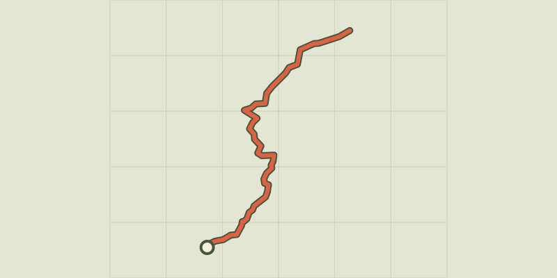 Plan IGN © IGN 2026Lac GignouxProvence-Alpes-Côte d'Azur, Cervières (05) · Out and backOfficial rating by Parc national des Écrins
 Plan IGN © IGN 2026Labarre LakeÉcrins, Valjouffrey (38) · Out and backOfficial rating by Parc national des Écrins
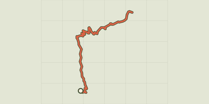 Plan IGN © IGN 2026Lac Laramon et Lac du SerpentProvence-Alpes-Côte d'Azur, Névache (05) · Out and backOfficial rating by Parc national des Écrins
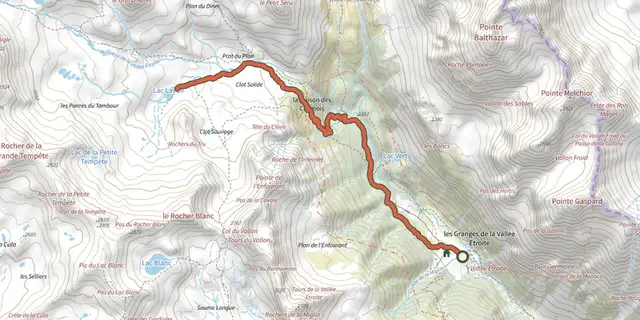 Plan IGN © IGN 2026Lac LavoirProvence-Alpes-Côte d'Azur, Névache (05) · Out and backOfficial rating by Parc national des Écrins
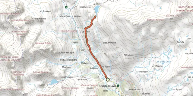 Plan IGN © IGN 2026Lac Long des MuandesProvence-Alpes-Côte d'Azur, Névache (05) · Out and backOfficial rating by Parc national des Écrins
 Plan IGN © IGN 2026Lac noir du ChenailletProvence-Alpes-Côte d'Azur, Cervières (05) · Out and backOfficial rating by Parc national des Écrins
 Plan IGN © IGN 2026Lac Noir et lac Lérié depuis le ChazeletÉcrins, La Grave (05) · LoopOfficial rating by Parc national des Écrins
 Plan IGN © IGN 2026Lake Sainte MargueriteProvence-Alpes-Côte d'Azur, Les Orres (05) · LoopOfficial rating by Parc national des Écrins

 Plan IGN © IGN 2026 · track © OpenStreetMapLacépède - VTT - 8.5 kmNouvelle-Aquitaine, Lacépède (47) · Loop
 Plan IGN © IGN 2026Lachau - Tour du RiableAuvergne-Rhône-Alpes, Lachau (26) · LoopOfficial rating by Parcs naturels régionaux de Provence-Alpes-Côte d'Azur
 Plan IGN © IGN 2026Lagnes - Sentier découverteLuberon, Lagnes (84) · LoopOfficial rating by Parcs naturels régionaux de Provence-Alpes-Côte d'Azur
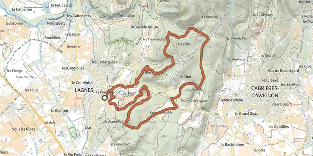 Plan IGN © IGN 2026Lagnes - Sur les sentiers de LagnesLuberon, Lagnes (84) · LoopOfficial rating by Parcs naturels régionaux de Provence-Alpes-Côte d'Azur
 Plan IGN © IGN 2026Lagnes - Tête du soldat et Mur de la pesteLuberon, Lagnes (84) · LoopOfficial rating by Parcs naturels régionaux de Provence-Alpes-Côte d'Azur
 Plan IGN © IGN 2026 · track © OpenStreetMapLagruère, dans la boucle de l'Ourbise - 10.6 kmNouvelle-Aquitaine, Lagruère (47) · Loop
 Plan IGN © IGN 2026 · track © OpenStreetMapLagruère, promenade sur les berges de Garonne - 9.8 kmNouvelle-Aquitaine, Lagruère (47) · Loop

 Plan IGN © IGN 2026Laissey-vous tenterBourgogne-Franche-Comté, Laissey (25) · LoopOfficial rating by Département du Doubs