
GPX tracks in France (page 280)
6,932 GPX tracks in France, with distance, elevation gain and time for each track. Pick a region on the map, then filter by department, sport, distance, elevation gain and time.
All GPX tracks in France
Activity : All activities

 Plan IGN © IGN 2026 · track © OpenStreetMap
Tro Kallag
Brittany, Callac (22) · Loop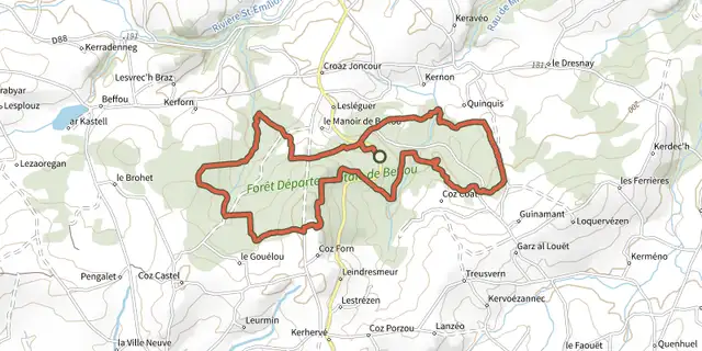 Plan IGN © IGN 2026
Tro Koad ar Markiz
Brittany, Loguivy-Plougras (22) · Loop Plan IGN © IGN 2026
Tro Pédernec
Brittany, Pédernec (22) · LoopOfficial rating by Département des Côtes d'Armor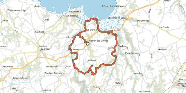 Plan IGN © IGN 2026
Tro Plistin
Brittany, Plestin-les-Grèves (22) · Loop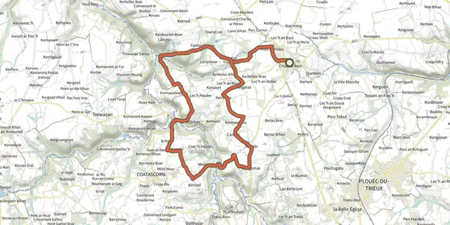 Plan IGN © IGN 2026
Tro Run Ar Gan
Brittany, Runan (22) · LoopOfficial rating by Département des Côtes d'Armor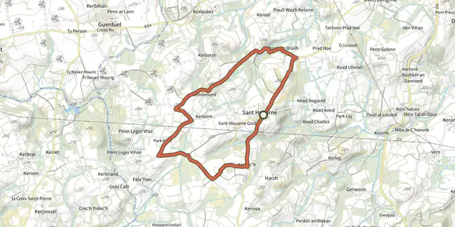 Plan IGN © IGN 2026
Tro Saint-Houarneau
Brittany, Bourbriac (22) · Loop Plan IGN © IGN 2026 · track © OpenStreetMap
Tro Sant Sev
Brittany, Sainte-Sève (29) · Loop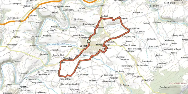 Plan IGN © IGN 2026 · track © OpenStreetMap
Tro Speied : le bocage
Brittany, Spézet (29) · Loop Plan IGN © IGN 2026 · track © OpenStreetMap
Tro Speied : le canal
Brittany, Spézet (29) · Loop Plan IGN © IGN 2026 · track © OpenStreetMap
Tro ster pont mine
Brittany, Châteauneuf-du-Faou (29) · Loop
 Plan IGN © IGN 2026 · track © OpenStreetMap
Tro velo 2 A Guisseny
Brittany, Guissény (29) · Loop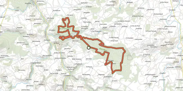
 Plan IGN © IGN 2026
Tro Vras (VTT)
Brittany, Lanrodec (22) · Loop Plan IGN © IGN 2026 · track © OpenStreetMap
Trois Hameaux et Une Montagne
Hauts-de-France, Fresnoy-le-Luat (60) · Loop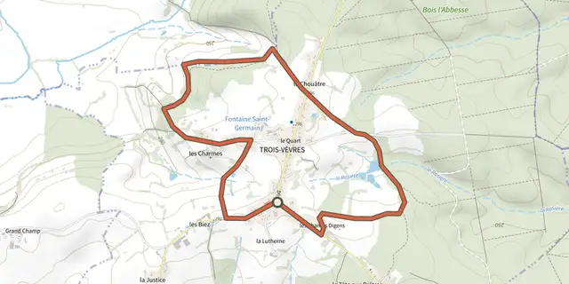 Plan IGN © IGN 2026
Trois Vevres
Bourgogne-Franche-Comté, Trois-Vèvres (58) · Loop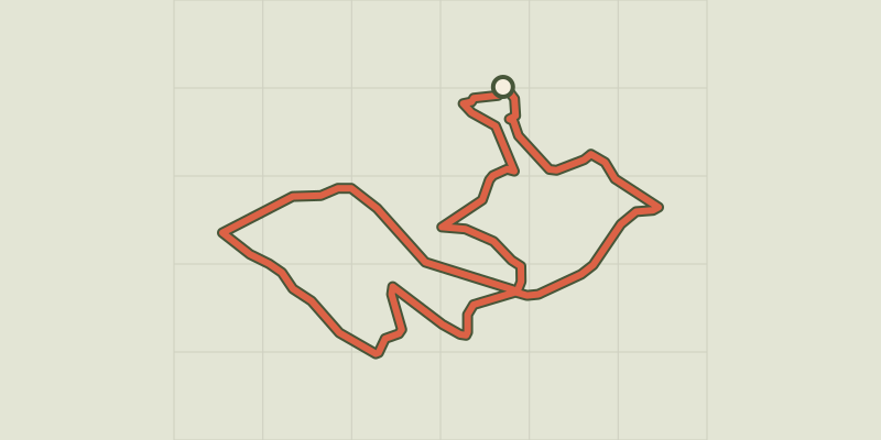 Plan IGN © IGN 2026
Truc d'Aygue Frege
Occitanie, La Bastide-Puylaurent (48) · LoopOfficial rating by Parc national des Cévennes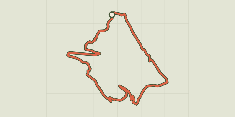 Plan IGN © IGN 2026
Truc de Balduc
Cévennes, Brenoux (48) · LoopOfficial rating by Parc national des Cévennes
 Plan IGN © IGN 2026
Truc de Balduc - Trail n°13
Cévennes, Saint-Étienne-du-Valdonnez (48) · LoopOfficial rating by Parc national des Cévennes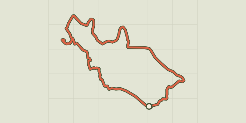 Plan IGN © IGN 2026
The tumulus of L’Elzière
Cévennes, Chambon (30) · LoopOfficial rating by Parc national des Cévennes Plan IGN © IGN 2026 · track © OpenStreetMap
U Cuscionu-Sentier de l’Eau
Corsica, Serra-di-Scopamène (2A) · Loop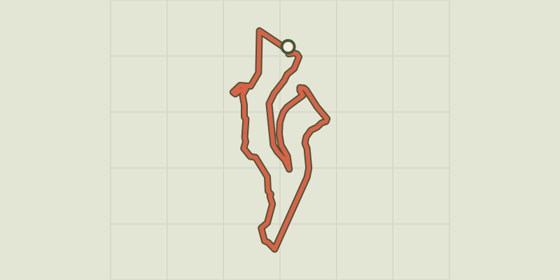 Plan IGN © IGN 2026
Ully le Châtelet
Bourgogne-Franche-Comté, Ornans (25) · LoopOfficial rating by Département du Doubs Plan IGN © IGN 2026 · track © OpenStreetMap
Un Balcon sur le Pays de Brive
Nouvelle-Aquitaine, Lostanges (19) · Loop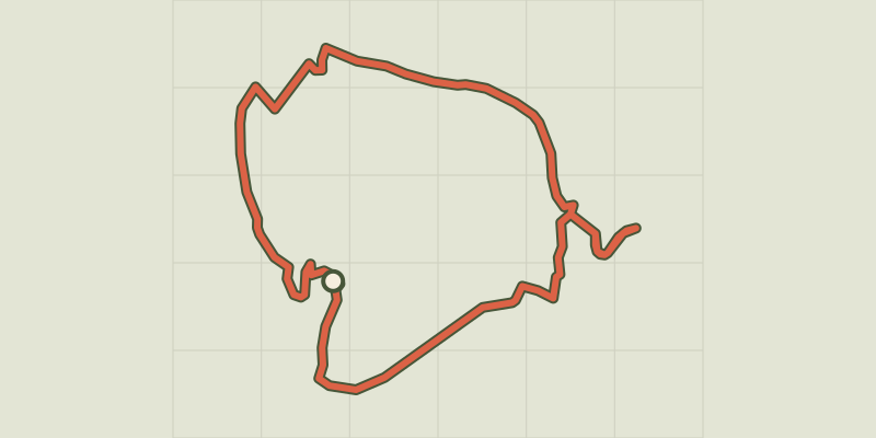 Plan IGN © IGN 2026
Un pays de sources
Bourgogne-Franche-Comté, Soye (25) · LoopOfficial rating by Département du Doubs Plan IGN © IGN 2026 · track © OpenStreetMap
Un petit coin de campagne au milieu des villes
Île-de-France, Le Plessis-Bouchard (95) · Loop Plan IGN © IGN 2026
One foot in the Dourbie valley, the other in the Trévezel
Cévennes, Trèves (30) · Point to pointOfficial rating by Parc national des Cévennes