
Botanical Trail of Cervières

Key facts
- Distance
- 6.2 km
- Ascent
- +228 m
- Descent
- −207 m
- Estimated time
- 1 hr 50
- hiking
- Difficulty
- Very easy
- official rating
- Route
- Loop
- back to the start
Profile and gradient
- under 10%
- 10 to 20%
- over 20%
Gradient along the route: 5.0 km under 10% and 1.2 km at 10 to 20%. Elevation from 1,751 m to 1,937 m over 6.2 km.
Description
Raised in the Bois du Laus, offering beautiful views of the Laus hamlet and the Lasseron massif. From the Laus, you cross meadows. From the Bletonnet, you enter the site Natura 2000 Rochebrune-Izoard-Valley of the Cerveyrette and in particular in the pine forest of hooks on limestone. The route climbs in laces until around 1930m of altitude. Then you will walk along the mountainside to reach a remarkable point of view. There, a landscape awaits you to reveal the history of the panorama you discover and in particular the Lasseron massif. From the Laus hamlet, enter the Oules valley in the direction of Pic de Rochebrune (3320m) crossing and along the Blétonnet brook, in the middle of meadows mows. For information, these are at their optimum flowering in June. 1- Take the forest track for about 1500 m going past the Blétonnet hamlet. 2- At 1860 m altitude, once you have left the last meadow on your right, take the path on your right. 3- 250 meters further you arrive at a fork which is the point of arrival and departure of the botanical trail in the strict sense. A sign describing the trail and what you can see there is present. Go straight on. 4- Climb in laces, until a new intersection. Then take the path on the right. 5- After approximately 950m of walking on the mountainside, you arrive at the belvedere, the highest point of the hike. A panel with geological landscape reading is installed. 6- Take back the forest trail in your back, right to make a loop, before joining the climb route. The U-turn is possible if you want to revise the plants identified by going up!
Difficulty
Official rating: very easy, by Parcs naturels régionaux de Provence-Alpes-Côte d'Azur.
Before you go
- Stay safe at the edge of the D902 in summer (road leading to the busy Izoard Pass)
Getting there
Start: Le Laus, Cervières, Cervières (05).
Sources
- Track: Parcs naturels régionaux de Provence-Alpes-Côte d'Azur (Chemins des Parcs), Licence Ouverte 2.0, Licence Ouverte 2.0 (Etalab) (www.cheminsdesparcs.fr/trek/55679-CERVIERES---Sentier-botanique). Time estimated by GPX Path with the Mac app rule, breaks not included.
- Official elevation gain: 228 m, Parcs naturels régionaux de Provence-Alpes-Côte d'Azur
Nearby tracks

 © OpenStreetMap, SRTM · OpenTopoMap (CC-BY-SA)
L'ancien fort de la Lausette depuis le Laus
Provence-Alpes-Côte d'Azur, Cervières (05) · Out and backOfficial rating by Parc national des Écrins © OpenStreetMap, SRTM · OpenTopoMap (CC-BY-SA)
La cascade des Oules
Provence-Alpes-Côte d'Azur, Cervières (05) · Out and backOfficial rating by Parc national des Écrins © OpenStreetMap, SRTM · OpenTopoMap (CC-BY-SA)
La boucle de Roche Moutte par la bergerie
Provence-Alpes-Côte d'Azur, Cervières (05) · LoopOfficial rating by Parc national des Écrins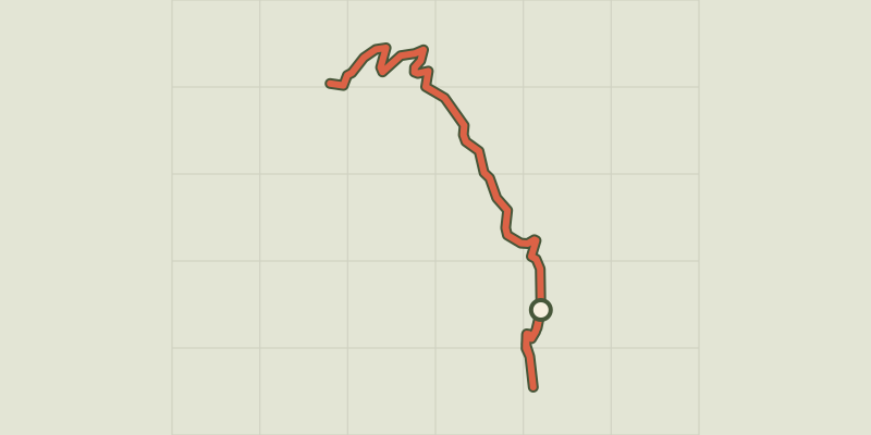 © OpenStreetMap, SRTM · OpenTopoMap (CC-BY-SA)
L'Alp du Pied et la Chapelle Sainte-Marie-Madeleine
Provence-Alpes-Côte d'Azur, Cervières (05) · Out and backOfficial rating by Parc national des Écrins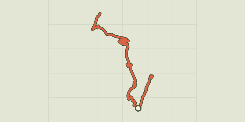 © OpenStreetMap, SRTM · OpenTopoMap (CC-BY-SA)
Ancien fort de la Lausette depuis Terre Rouge
Provence-Alpes-Côte d'Azur, Cervières (05) · Out and backOfficial rating by Parc national des Écrins © OpenStreetMap, SRTM · OpenTopoMap (CC-BY-SA)
Col des Ourdeis
Provence-Alpes-Côte d'Azur, Cervières (05) · Out and backOfficial rating by Parc national des Écrins