
Chapelle Saint-Guillaume

Key facts
- Distance
- 1.1 km
- Ascent
- +15 m
- Descent
- −11 m
- Estimated time
- 15 min
- hiking
- Difficulty
- Easy
- official rating
- Route
- Out and back
- same way back
Profile and gradient
- under 10%
- 10 to 20%
- over 20%
Gradient along the route: 1.1 km under 10%. Elevation from 898 m to 905 m over 1.1 km.
Description
Jolies vues sur les coteaux et sur les Gorges du Guil. Une promenade douce qui longe les falaises du site de Mont-Dauphin jusqu'au hameau de Saint-Guillaume et offre de beaux panoramas. Le sentier débute au niveau du site "des marmottes" et emprunte un chemin de terre sur la droite. Sans aucune difficulté, promenez-vous sous le site de Mont-Dauphin, en longeant ses falaises, jusqu'au hameau de Saint Guillaume, blotti au bord de la Durance. Vous y découvrirez ses habitations, sa chapelle Saint-Guillaume. Le retour s'effectue par le même itinéraire.
Difficulty
Official rating: easy, by Parcs naturels régionaux de Provence-Alpes-Côte d'Azur.
Before you go
- Merci de respecter les aménagements et de rester sur les sentiers balisés. Vous êtes sur un site Natura 2000 à l’environnement fragile.
Getting there
Start: Parking des Marmottes, Eygliers gare, Eygliers (05).
Sources
- Track: Parcs naturels régionaux de Provence-Alpes-Côte d'Azur (Chemins des Parcs), Licence Ouverte 2.0, Licence Ouverte 2.0 (Etalab) (www.cheminsdesparcs.fr/trek/75652-EYGLIERS---Chapelle-Saint-Guillaume). Time estimated by GPX Path with the Mac app rule, breaks not included.
- Official elevation gain: 15 m, Parcs naturels régionaux de Provence-Alpes-Côte d'Azur
Nearby tracks

 © OpenStreetMap, SRTM · OpenTopoMap (CC-BY-SA)
Mont-Dauphin place forte et Eygliers chef-lieu
Provence-Alpes-Côte d'Azur, Eygliers (05) · LoopOfficial rating by Parcs naturels régionaux de Provence-Alpes-Côte d'Azur © OpenStreetMap, SRTM · OpenTopoMap (CC-BY-SA)
Découverte de Mont-Dauphin
Provence-Alpes-Côte d'Azur, Eygliers (05) · LoopOfficial rating by Parcs naturels régionaux de Provence-Alpes-Côte d'Azur © OpenStreetMap, SRTM · OpenTopoMap (CC-BY-SA)
Eygliers - Les Oasis enchantés
Provence-Alpes-Côte d'Azur, Eygliers (05) · LoopOfficial rating by Parcs naturels régionaux de Provence-Alpes-Côte d'Azur © OpenStreetMap, SRTM · OpenTopoMap (CC-BY-SA)
Pain de Sucre de Guillestre
Provence-Alpes-Côte d'Azur, Guillestre (05) · Out and backOfficial rating by Parcs naturels régionaux de Provence-Alpes-Côte d'Azur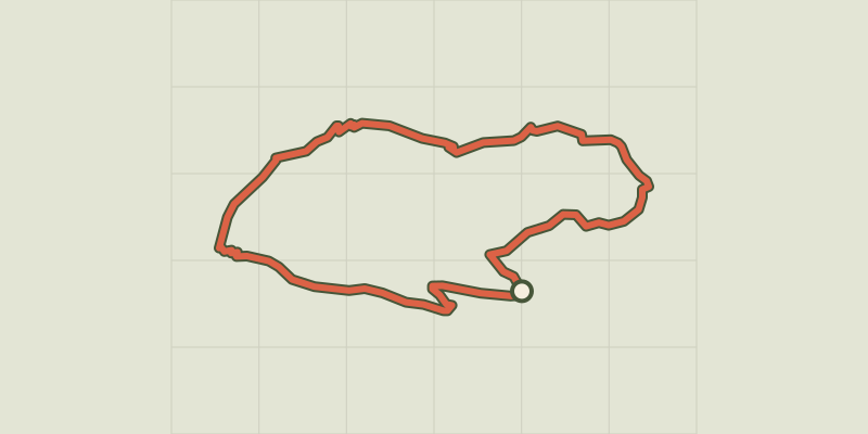 © OpenStreetMap, SRTM · OpenTopoMap (CC-BY-SA)
Rue des Masques - Guillestre
Provence-Alpes-Côte d'Azur, Guillestre (05) · LoopOfficial rating by Parcs naturels régionaux de Provence-Alpes-Côte d'Azur © OpenStreetMap, SRTM · OpenTopoMap (CC-BY-SA)
Rif-Bel - Guillestre
Provence-Alpes-Côte d'Azur, Guillestre (05) · LoopOfficial rating by Parcs naturels régionaux de Provence-Alpes-Côte d'Azur