
Loop between the two arms of the Rhone

Key facts
- Distance
- 44.9 km
- Ascent
- +0 m
- Descent
- −0 m
- Estimated time
- 10 hr
- hiking
- Difficulty
- Easy
- official rating
- Route
- Point to point
- ends elsewhere
Profile and gradient
- under 10%
- 10 to 20%
- over 20%
Gradient along the route: 44.9 km under 10%. Elevation from 0 m to 5 m over 44.9 km.
Description
From the Mediterranean to the Vaccarès pond passing along the Petit-Rhône, this course is a rich summary of Camargue landscapes ! This long marked trail offers the hiker the opportunity to have a look at the different landscapes of the Camargue. The route follows paths along various farmhouses, manades horses and trails unveiling the Vaccarès pond. You will walk on the Petit-Rhône dike, allowing you to follow against the direction of the river. You will be closer to remarkable natural areas by the flora and fauna that characterize them ! Back to the Tourist Office on Van Gogh Avenue, head right. At the roundabout, take the second exit and cross the village by the Cacharel road. This trail is marked, follow the yellow markings. 1 - Cross the small bridge, then head to the left towards the stadium path. Continue and turn left at the turn that allows to cross the other side, do not take the path where there are rocks. Continue straight on and take the path on the right, parallel to the D570.. Continue straight for about 1.5 km. 2 - At the junction with the D570, cross it and continue straight towards Bas des Launes road. Continue for 1 km. After the small bridge, take the path on the left. Continue for about 800 m. 3 - In the bend, turn right onto the dirt road. Continue this path for more than 1 km to reach Petite route du Bac (D85). Turn right at this intersection. Before the intersection with the D570, join the small path on the left. Continue for 350 m. At the next intersection, continue on the left path for 650 m. 4 - Turn left then 150 m after, continue on the first road on the right and continue for more than 1 km. When the path splits in two, follow the path on the right and leave the farmhouse on the left. 5 - At the intersection with the D38A, turn left and take the path on the right. Continue for 1.5 km. At the intersection of the two paths, turn to the right. At the intersection with the D38B, cross this road and continue on the road. Bypass the Gilbert Arnaud manade on the left. 6 - At the intersection with the road to Bergerie du Roure, turn right and follow the first path on the left. Bypass all buildings and technical constructions by the left. Once you reached the Petit-Rhône dike, take a right and continue along the Petit-Rhône. Leave to the right the Château d'Avignon, les Grandes Cabanes du Vaccarès, le Mas de Ventabren et le Mas d'Alivon. 7 - At the pumping station and overpass, turn right onto the D570, cross it and continue towards Paty de la Trinité. Continue to Mas de Bouvet. 8 - Take the left to follow the path of the Méjanes until the directional sign indicating "Méjanes" and "Saintes-Maries-de-la-Mer", follow the direction of Saintes-Maries-de-la-Mer. Then continue on for 11 km. 9 - At the intersection with the D85A, turn left towards Saintes-Maries-de-la-Mer and follow the road on the road side to reach point 1.
Difficulty
Official rating: easy, by Parcs naturels régionaux de Provence-Alpes-Côte d'Azur.
Before you go
- The course has been marked by the hikers of the Pays d'Arles, follow the yellow markings. D750, very busy and dangerous road! Open the gates at the entrance or exit of the paths, think of closing them well. Crossing the road of the Bergerie du Roure, caution! Cycling is prohibited on the Rhone and Petit-Rhône dikes.. Caution on the D85A at the exit of the Cinq Gorges towards Saintes-Maries-de-la-Mer. The itinerary being done in 2 days, think to reserve an accommodation according to the distance to be crossed the first day. Contact the Saintes-Maries-de-la-Mer Tourist Office. Park your car in a secure location. Be careful, in rainy weather, roads are flooded and impracticable !
Getting there
Start: Office de tourisme, Les Saintes-Maries-de-la-Mer, Saintes-Maries-de-la-Mer (13).
Sources
- Track: Parcs naturels régionaux de Provence-Alpes-Côte d'Azur (Chemins des Parcs), Licence Ouverte 2.0, Licence Ouverte 2.0 (Etalab) (www.cheminsdesparcs.fr/trek/60397-SAINTES--MARIES-DE-LA-MER---Entre-les-deux-bras-du-Rhone). Time estimated by GPX Path with the Mac app rule, breaks not included.
- Official elevation gain: 51 m, Parcs naturels régionaux de Provence-Alpes-Côte d'Azur
Nearby tracks

 © OpenStreetMap, SRTM · OpenTopoMap (CC-BY-SA)
The sea wall
Provence-Alpes-Côte d'Azur, Saintes-Maries-de-la-Mer (13) · Point to pointOfficial rating by Parcs naturels régionaux de Provence-Alpes-Côte d'Azur © OpenStreetMap, SRTM · OpenTopoMap (CC-BY-SA)
The Petit-Rhône dike
Provence-Alpes-Côte d'Azur, Arles (13) · Out and backOfficial rating by Parcs naturels régionaux de Provence-Alpes-Côte d'Azur © OpenStreetMap, SRTM · OpenTopoMap (CC-BY-SA)
Between rice fields and reed beds on the Pont de Rousty trail
Provence-Alpes-Côte d'Azur, Arles (13) · LoopOfficial rating by Parcs naturels régionaux de Provence-Alpes-Côte d'Azur © OpenStreetMap, SRTM · OpenTopoMap (CC-BY-SA)
Walk in the heart of the Verdier marshes
Provence-Alpes-Côte d'Azur, Arles (13) · LoopOfficial rating by Parcs naturels régionaux de Provence-Alpes-Côte d'Azur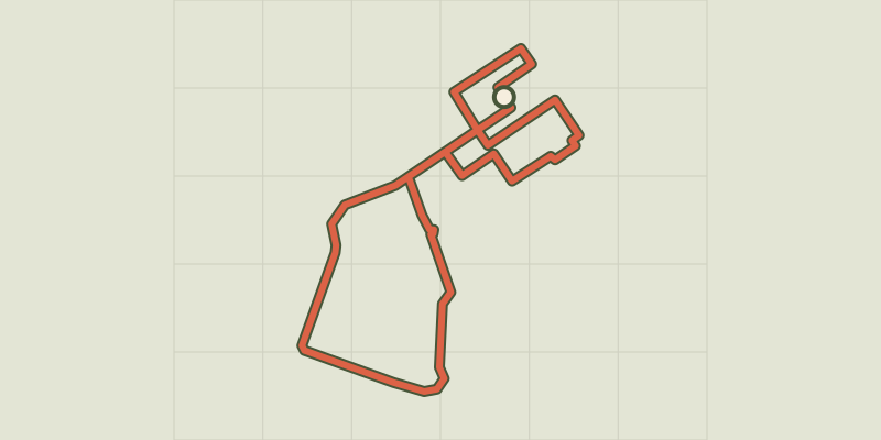 © OpenStreetMap, SRTM · OpenTopoMap (CC-BY-SA)
Salin-de-Giraud, "our history in the Camargue"
Provence-Alpes-Côte d'Azur, Arles (13) · LoopOfficial rating by Parcs naturels régionaux de Provence-Alpes-Côte d'Azur © OpenStreetMap, SRTM · OpenTopoMap (CC-BY-SA)
They du Mazet, the Rhône estuary
Provence-Alpes-Côte d'Azur, Port-Saint-Louis-du-Rhône (13) · Out and backOfficial rating by Parcs naturels régionaux de Provence-Alpes-Côte d'Azur