
Plan d’Aups Sainte-Baume - Saint-Pilon Chapel

Key facts
- Distance
- 6.3 km
- Ascent
- +395 m
- Descent
- −361 m
- Estimated time
- 2 hr 15
- hiking
- Difficulty
- Moderate
- official rating
- Route
- Loop
- back to the start
Profile and gradient
- under 10%
- 10 to 20%
- over 20%
Gradient along the route: 2.7 km under 10%, 2.5 km at 10 to 20% and 1.1 km over 20%. Elevation from 671 m to 980 m over 6.3 km.
Description
A must-see in Sainte-Baume! A genuine trove of natural, cultural and landscaped treasures. Entering the Sainte-Baume forest is like stepping into a fable. The coolness, shade, tall trees, dense vegetation and singing birds transport you to a fairy-tale ambiance and accompany you along the path to Mary Magdalene's cave. Take in the superb scenery of Sainte-Victoire and the Plan-d'Aups plain. As you climb up the mountain ridges, a 360° panoramic view scans the horizon, from the Mediterranean Sea to the Alps. With your back to the Sainte-Baume Tourist & Discovery Area, cross the road to the corner of the “Parking de l'Hostellerie Est” (information sign), on your left. 1- Facing the Sainte-Baume mountains, take GR9® (red and white markings) going due south, via the trail leading to the forest. After the wooden bridge, take Allée Royale on your right. 2- At the junction with the Compagnons du Devoir obelisk, start climbing Chemin du Canapé, to your left. At the intersection with Chemin de Giniez (pole), turn left in the direction of Grotte de Sainte Marie-Madeleine (Mary Magdalene's cave) and go past a first oratory. 3- At the “Oratoire” junction (pole), continue the climb on your right until you reach the stairs and then Mary Magdalene's cave. Taking the same route, descend to the Carrefour de l'Oratoire junction. Then start the climb on your right (GR®9). Go past the Chapelle des Parisiens chapel and continue to the Col du Saint-Pilon pass (952 m). 4- Take GR98® on your right and stay on the trail amidst the limestone pavements until you reach the Chapelle du Saint-Pilon chapel. Then take the same route back to the Carrefour de l'Oratoire junction (point 3). 3- Turn right and continue the descent via Chemin des Roys, following the yellow markings. Pass by the Source de Nans spring and stay on the main path. 5- At the Placette des Trois Chênes plot, with your back to the sign, take Allée Royale on the far left to the wooden bridge you took earlier and head back to the starting point. VARIANT: After visiting the sanctuary of Mary Magdalene's cave, go back down to the Carrefour de l'Oratoire junction (point 3) and continue the descent via Chemin des Roys until you reach the Placette des Trois Chênes plot (point 5) and directly return to the starting point.
Difficulty
Official rating: moderate, by Parcs naturels régionaux de Provence-Alpes-Côte d'Azur.
Before you go
- Mary Magdalene's cave is open: - In the winter (until the daylight-saving time change), from 8:30 am to 5 pm - In the summer (until the daylight-saving time change), from 7:30 am to 6:30 pm. This itinerary is a mountain route subject to climate variations. You should avoid the ridge line in the event of rain, wind and/or fog. In the summer, access to the site is subject to forest access regulations related to the risk of fire. Please check the access conditions for the day on the website of the Var prefecture.
Getting there
Start: Espace Tourisme & Découverte de la Sainte-Baume, Plan d'Aups Sainte-Baume, Plan-d'Aups-Sainte-Baume (83).
Sources
- Track: Parcs naturels régionaux de Provence-Alpes-Côte d'Azur (Chemins des Parcs), Licence Ouverte 2.0, Licence Ouverte 2.0 (Etalab) (www.cheminsdesparcs.fr/trek/73715-PLAN-D-AUPS-SAINTE-BAUME---La-chapelle-du-Saint-Pilon). Time estimated by GPX Path with the Mac app rule, breaks not included.
- Official elevation gain: 395 m, Parcs naturels régionaux de Provence-Alpes-Côte d'Azur
Nearby tracks

 © OpenStreetMap, SRTM · OpenTopoMap (CC-BY-SA)
Plan d'Aups Sainte-Baume - Du sentier Merveilleux à l'oratoire de Miette
Provence-Alpes-Côte d'Azur, Plan-d'Aups-Sainte-Baume (83) · LoopOfficial rating by Parcs naturels régionaux de Provence-Alpes-Côte d'Azur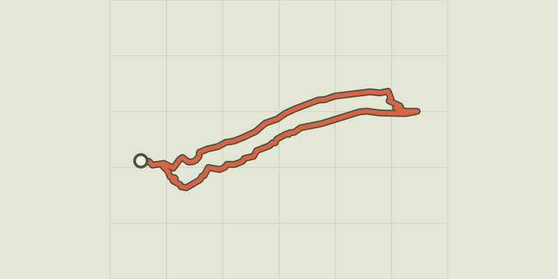 © OpenStreetMap, SRTM · OpenTopoMap (CC-BY-SA)
Plan d'Aups Sainte-Baume - Le sentier Merveilleux
Provence-Alpes-Côte d'Azur, Plan-d'Aups-Sainte-Baume (83) · LoopOfficial rating by Parcs naturels régionaux de Provence-Alpes-Côte d'Azur © OpenStreetMap, SRTM · OpenTopoMap (CC-BY-SA)
Plan d'Aups Sainte-Baume - Le col de Bertagne
Provence-Alpes-Côte d'Azur, Plan-d'Aups-Sainte-Baume (83) · LoopOfficial rating by Parcs naturels régionaux de Provence-Alpes-Côte d'Azur © OpenStreetMap, SRTM · OpenTopoMap (CC-BY-SA)
Plan d'Aups Sainte-Baume - Le Pic de Bertagne
Provence-Alpes-Côte d'Azur, Plan-d'Aups-Sainte-Baume (83) · LoopOfficial rating by Parcs naturels régionaux de Provence-Alpes-Côte d'Azur © OpenStreetMap, SRTM · OpenTopoMap (CC-BY-SA)
Riboux - Le sentier des deux chapelles
Provence-Alpes-Côte d'Azur, Riboux (83) · LoopOfficial rating by Parcs naturels régionaux de Provence-Alpes-Côte d'Azur © OpenStreetMap, SRTM · OpenTopoMap (CC-BY-SA)
Nans-les-Pins - Boucle des Sources de l'Huveaune
Provence-Alpes-Côte d'Azur, Nans-les-Pins (83) · LoopOfficial rating by Parcs naturels régionaux de Provence-Alpes-Côte d'Azur