
Crête de Curlet

Key facts
- Distance
- 9.0 km
- Ascent
- +783 m
- Descent
- −744 m
- Estimated time
- 4 hr 10
- hiking
- Difficulty
- Moderate
- official rating
- Route
- Loop
- back to the start
Profile and gradient
- under 10%
- 10 to 20%
- over 20%
Gradient along the route: 1.3 km under 10%, 5.6 km at 10 to 20% and 2.0 km over 20%. Elevation from 1,846 m to 2,562 m over 9.0 km.
Description
Beautiful viewpoint of the village of Saint-Véran and the valley of Aigue Blanche. When leaving the larch forest, the trek continues on a breezy ridge offering unobstructed views. Surrounded by greenstone, no major difficulty but be careful all the same, the end of the climb is a little more alpine. From the Pont du Moulin Go up the track in continuity of the bridge, quickly leave a path on the right and remain on this track. The trail rises by a few bends and crosses a track and skid knives, carefully follow the yellow markings. Reach to a meadow, continue climbing and reach the point of Cabanes de Lamaron. 1 - From here, turn left into a slightly ascending traverse which leads to the Croix de Curlet. From there, take a right and follow the wide ridge which leads to the bottom of the Pic de Cascavelier. 2 - Once at the foot of the peak, go around it while remaining on level and reach the edge on the other side of the peak, continue on a few metres left to reach the summit. 3 - From the top, turn back and descend along the edge, pass a little bump and go down the valley to the right. Follow the valley until reaching the trough you came across during the climb. Here, follow the reverse path and reach to the Pont du Moulin.
Difficulty
Official rating: moderate, by Parcs naturels régionaux de Provence-Alpes-Côte d'Azur.
Getting there
Start: Parking du hameau du Cros, Saint-Véran, Saint-Véran (05).
Sources
- Track: Parcs naturels régionaux de Provence-Alpes-Côte d'Azur (Chemins des Parcs), Licence Ouverte 2.0, Licence Ouverte 2.0 (Etalab) (www.cheminsdesparcs.fr/trek/27741-SAINT-VERAN---Crete-de-Curlet). Time estimated by GPX Path with the Mac app rule, breaks not included.
- Official elevation gain: 783 m, Parcs naturels régionaux de Provence-Alpes-Côte d'Azur
Nearby tracks

 © OpenStreetMap, SRTM · OpenTopoMap (CC-BY-SA)
Saint-Véran - Grand circuit de la mine
Queyras, Saint-Véran (05) · LoopOfficial rating by Parcs naturels régionaux de Provence-Alpes-Côte d'Azur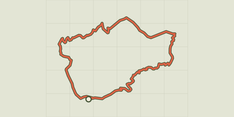 © OpenStreetMap, SRTM · OpenTopoMap (CC-BY-SA)
La Gardiole de l'Alp - Molines
Queyras, Molines-en-Queyras (05) · LoopOfficial rating by Parcs naturels régionaux de Provence-Alpes-Côte d'Azur © OpenStreetMap, SRTM · OpenTopoMap (CC-BY-SA)
Sommet Bucher
Queyras, Molines-en-Queyras (05) · LoopOfficial rating by Parcs naturels régionaux de Provence-Alpes-Côte d'Azur © OpenStreetMap, SRTM · OpenTopoMap (CC-BY-SA)
Molines - Le long des Aigues
Queyras, Molines-en-Queyras (05) · Out and backOfficial rating by Parcs naturels régionaux de Provence-Alpes-Côte d'Azur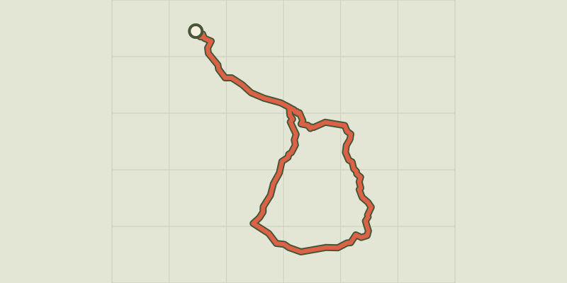 © OpenStreetMap, SRTM · OpenTopoMap (CC-BY-SA)
Tour de la tête des Toillies
Queyras, Saint-Véran (05) · LoopOfficial rating by Parcs naturels régionaux de Provence-Alpes-Côte d'Azur © OpenStreetMap, SRTM · OpenTopoMap (CC-BY-SA)
Le canal de Rouchas Frach - Molines
Queyras, Molines-en-Queyras (05) · Point to pointOfficial rating by Parcs naturels régionaux de Provence-Alpes-Côte d'Azur