
Sommet Bucher

Key facts
- Distance
- 10.7 km
- Ascent
- +641 m
- Descent
- −571 m
- Estimated time
- 3 hr 40
- hiking
- Difficulty
- Moderate
- official rating
- Route
- Loop
- back to the start
Profile and gradient
- under 10%
- 10 to 20%
- over 20%
Gradient along the route: 6.4 km under 10%, 3.5 km at 10 to 20% and 0.8 km over 20%. Elevation from 1,679 m to 2,224 m over 10.7 km.
Description
Sommer Bucher and its orientation table offer an extraordinary view of the Queyras. Mainly a woodland, do not fall for the monotony of the place. Some places make us instantly switch to another world or a different era. This is the case here. The Clot Henri (cabins) gives us a little paradise out of nowhere if not from a tale for children. As for the Col des Prés de Fromage, it brings us back to the Middle Ages: a wooden fountain, cows, a panorama of the settings, the lower Guil and the valley of l'Aigue Blanche welcome us! Refreshed by these changes of scenery, the descent will seem light and smooth. From the parking lot, go down the road and reach the point: Molines, below le Serre. Go down to the left on a track and cross the stream on a wooden bridge and turn right. 1 - Go up a track on a hundred metres or so and turn right, follow the trail which becomes steeper then quickly becomes smooth when near a picnic table and a nice view of the valley of Aigue Blanche. Continue the broad false flat track. 2 - At the intersection of the woods of Eyssard (2 034m), turn left towards the Clot Henri. Reach the Clot Henri, cross it and follow the trail that leads to the exit of the forest, 10m below the Col des Près de Fromages. 3 - At the mountain pass, turn right and follow the wide path that roughly goes along the ridge, reach onto a track, turn right and rach the Sommet Bucher quickly. The return is by the same route until you reach the intersection of the woods of Eyssard. 4 - Turn left and descend rapidly right into the Rif de Sainte Colombe. Reach on a track, turn right and continue on this track. Cross the stream of Aigue Blanche and go to the village. 5 - The track becomes a road, go straight, go through the village leaving the Saint-Romain church on the right and reaching the D5. Follow this road towards Saint-Véran to regain the car park of the starting point 300m further.
Difficulty
Official rating: moderate, by Parcs naturels régionaux de Provence-Alpes-Côte d'Azur.
Getting there
Start: Parking le long de la D5, Molines-en-Queyras, Molines-en-Queyras (05).
Sources
- Track: Parcs naturels régionaux de Provence-Alpes-Côte d'Azur (Chemins des Parcs), Licence Ouverte 2.0, Licence Ouverte 2.0 (Etalab) (www.cheminsdesparcs.fr/trek/27770-MOLINES---Sommet-Bucher). Time estimated by GPX Path with the Mac app rule, breaks not included.
- Official elevation gain: 641 m, Parcs naturels régionaux de Provence-Alpes-Côte d'Azur
Nearby tracks

 © OpenStreetMap, SRTM · OpenTopoMap (CC-BY-SA)
Molines - Le long des Aigues
Queyras, Molines-en-Queyras (05) · Out and backOfficial rating by Parcs naturels régionaux de Provence-Alpes-Côte d'Azur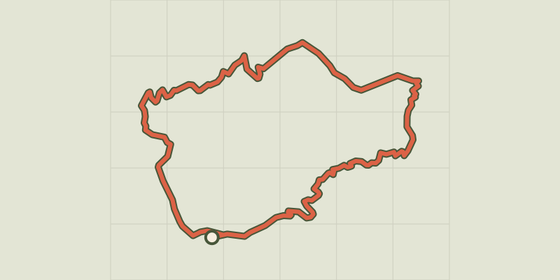 © OpenStreetMap, SRTM · OpenTopoMap (CC-BY-SA)
La Gardiole de l'Alp - Molines
Queyras, Molines-en-Queyras (05) · LoopOfficial rating by Parcs naturels régionaux de Provence-Alpes-Côte d'Azur © OpenStreetMap, SRTM · OpenTopoMap (CC-BY-SA)
Crête de Curlet
Queyras, Saint-Véran (05) · LoopOfficial rating by Parcs naturels régionaux de Provence-Alpes-Côte d'Azur © OpenStreetMap, SRTM · OpenTopoMap (CC-BY-SA)
Saint-Véran - Grand circuit de la mine
Queyras, Saint-Véran (05) · LoopOfficial rating by Parcs naturels régionaux de Provence-Alpes-Côte d'Azur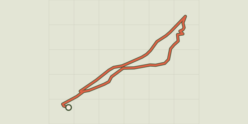 © OpenStreetMap, SRTM · OpenTopoMap (CC-BY-SA)
Sentier écologique des Astragales - Ville-Vieille
Queyras, Château-Ville-Vieille (05) · LoopOfficial rating by Parcs naturels régionaux de Provence-Alpes-Côte d'Azur © OpenStreetMap, SRTM · OpenTopoMap (CC-BY-SA)
Col de la Crèche
Queyras, Château-Ville-Vieille (05) · LoopOfficial rating by Parcs naturels régionaux de Provence-Alpes-Côte d'Azur