
Lac de Souliers
Key facts
- Distance
- 4.8 km
- Ascent
- +279 m
- Descent
- −278 m
- Estimated time
- 1 hr 45
- hiking
- Difficulty
- Easy
- official rating
- Route
- Out and back
- same way back
Profile and gradient
- under 10%
- 10 to 20%
- over 20%
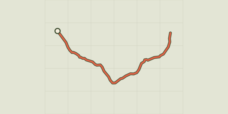
Gradient along the route: 2.4 km under 10%, 1.7 km at 10 to 20% and 0.7 km over 20%. Elevation from 2,213 m to 2,491 m over 4.8 km.
Description
From la Casse Déserte, at the foot of Côte Belle, discover a beautiful mountain lake in the mountain pastures at the foot of the Pic de Rochebrune. It all started with a breathtaking view of the Casse Déserte and its lunar atmosphere which is constantly rumbling. Then came the dark wood and elegant torture the weather has inflicted on trees. These trees, twisted, bent or uprooted assert their scars, both the harshness of life here but also the strength and flexibility that characterize them and which allow them to live and grow in this hostile terrain. After the forest is the alpine meadow, the screes and austerity of the Grand Rochebrune which accompany the track to the Lac de Souliers. From the car park, cross the road and take the path on the right that enters the forest. 1 - At the point Le Vallon (2 340m), exit the forest, reach a bridle, take the path on the left. Go up until the Lac de Souliers. The same route is used for the return.
Difficulty
Official rating: easy, by Parcs naturels régionaux de Provence-Alpes-Côte d'Azur.
Getting there
Start: La Casse Déserte, Arvieux, Arvieux (05).
Sources
- Track: Parcs naturels régionaux de Provence-Alpes-Côte d'Azur (Chemins des Parcs), Licence Ouverte 2.0, Licence Ouverte 2.0 (Etalab) (www.cheminsdesparcs.fr/trek/27764-ARVIEUX---Lac-de-Souliers). Time estimated by GPX Path with the Mac app rule, breaks not included.
- Official elevation gain: 279 m, Parcs naturels régionaux de Provence-Alpes-Côte d'Azur
Nearby tracks

 © OpenStreetMap, SRTM · OpenTopoMap (CC-BY-SA)
Clot la Cime
Queyras, Arvieux (05) · Out and backOfficial rating by Parc national des Écrins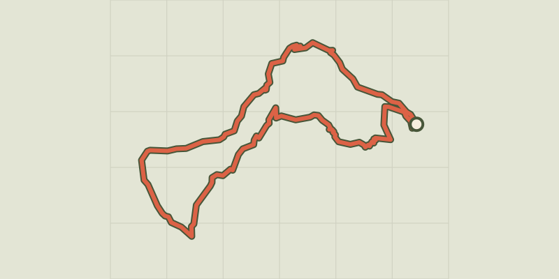 © OpenStreetMap, SRTM · OpenTopoMap (CC-BY-SA)
Arvieux - Les chalets de Clapeyto et le col de Néal
Queyras, Arvieux (05) · LoopOfficial rating by Parcs naturels régionaux de Provence-Alpes-Côte d'Azur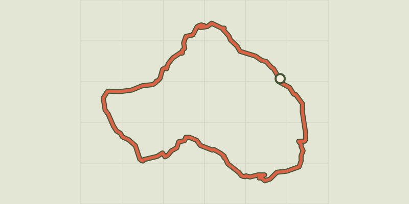 © OpenStreetMap, SRTM · OpenTopoMap (CC-BY-SA)
Tour du Cros et Jalleït par les Chalets de Clapeyto - Arvieux
Queyras, Arvieux (05) · LoopOfficial rating by Parcs naturels régionaux de Provence-Alpes-Côte d'Azur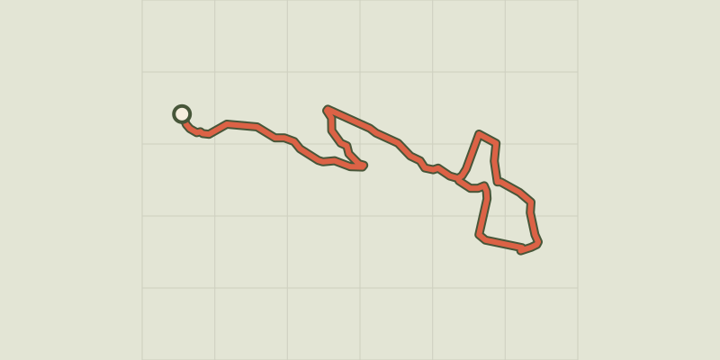 © OpenStreetMap, SRTM · OpenTopoMap (CC-BY-SA)
Arvieux - Belvédères du lac de Roue
Queyras, Arvieux (05) · LoopOfficial rating by Parcs naturels régionaux de Provence-Alpes-Côte d'Azur © OpenStreetMap, SRTM · OpenTopoMap (CC-BY-SA)
Arvieux - La Saga de l'herbe
Queyras, Arvieux (05) · LoopOfficial rating by Parcs naturels régionaux de Provence-Alpes-Côte d'Azur © OpenStreetMap, SRTM · OpenTopoMap (CC-BY-SA)
Col de la Crèche
Queyras, Château-Ville-Vieille (05) · LoopOfficial rating by Parcs naturels régionaux de Provence-Alpes-Côte d'Azur