
Pré-Michel nature trail

Key facts
- Distance
- 2.3 km
- Ascent
- +183 m
- Descent
- −169 m
- Estimated time
- 1 hr
- hiking
- Difficulty
- Very easy
- official rating
- Route
- Loop
- back to the start
Profile and gradient
- under 10%
- 10 to 20%
- over 20%
Gradient along the route: 0.5 km under 10%, 1.3 km at 10 to 20% and 0.5 km over 20%. Elevation from 1,800 m to 1,976 m over 2.3 km.
Description
Years ago, the landscape was very different; tomorrow it will have changed again. How can we preserve the natural resources that make up this landscape today? Under the watchful eye of Mont Viso, Pré-Michel, evidence a by-gone agricultural, is constantly changing. The species that were favoured by human exploitation, are now facing competition. Species formerly kept at bay by harvesting the hay start to colonize the area. This transition offers exceptional diversity. From the car park of Roche écroulée, return to the road, climb 50 metres and turn right onto a good grassy path. Follow the slight uphill stretch up into a larch forest. The start of the Pré-Michel nature trail is 600m away. Climb through the forest to reach Pré-Michel (viewpoint on Mont Viso). You can see Mont Viso in all its glory (3,841m). After a few metres, climb to the right among the tall grass. You can enjoy the wealth of flora in this area. Turn left onto a flat bumpy trail. You will arrive at a crossroads. On the right, a small circular path takes you back 200m (you don’t have to do this very short circuit). Turn left and descend on an even path. You will come to an opening in the forest that offers a second view of Mont Viso. Turn left and follow a flat path, which returns to Pré-Michel. From there, take the path that you started out on.
Difficulty
Official rating: very easy, by Parcs naturels régionaux de Provence-Alpes-Côte d'Azur.
Before you go
- You enter the Ristolas Mont Viso nature reserve. Special regulations apply here. For more information go to: http://www.pnr-queyras.fr/protection-et-gestion-du-patrimoine-naturel-et-culturel/item/68-r%C3%A9serve-naturelle-nationale-mont-viso-ristolas
Getting there
Start: Parking de La Roche Ecroulée, Ristolas, Abriès-Ristolas (05).
Sources
- Track: Parcs naturels régionaux de Provence-Alpes-Côte d'Azur (Chemins des Parcs), Licence Ouverte 2.0, Licence Ouverte 2.0 (Etalab) (www.cheminsdesparcs.fr/trek/24820-RISTOLAS---Le-Pre-Michel). Time estimated by GPX Path with the Mac app rule, breaks not included.
- Official elevation gain: 183 m, Parcs naturels régionaux de Provence-Alpes-Côte d'Azur
Nearby tracks
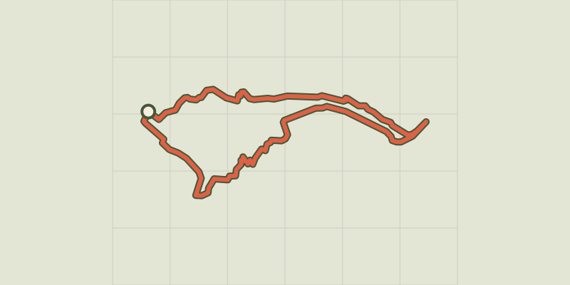
 © OpenStreetMap, SRTM · OpenTopoMap (CC-BY-SA)
Col Lacroix
Queyras, Abriès-Ristolas (05) · LoopOfficial rating by Parcs naturels régionaux de Provence-Alpes-Côte d'Azur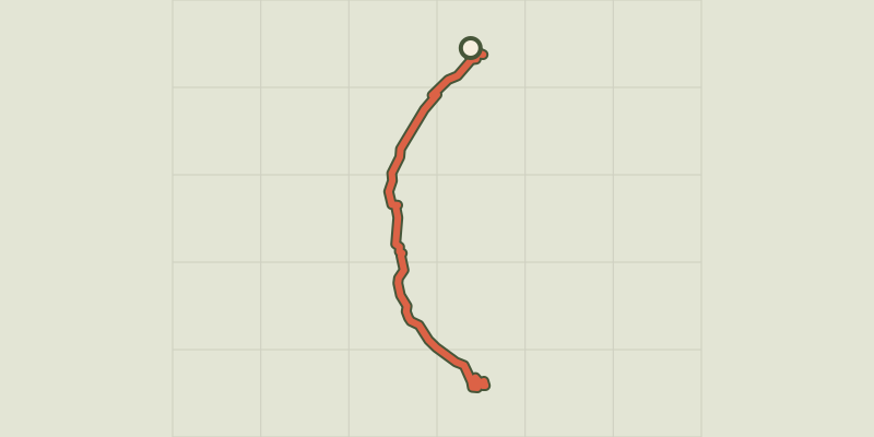 © OpenStreetMap, SRTM · OpenTopoMap (CC-BY-SA)
Ristolas - Le lac de Ségure
Queyras, Abriès-Ristolas (05) · Out and backOfficial rating by Parcs naturels régionaux de Provence-Alpes-Côte d'Azur © OpenStreetMap, SRTM · OpenTopoMap (CC-BY-SA)
Le canal de Rouchas Frach - Molines
Queyras, Molines-en-Queyras (05) · Point to pointOfficial rating by Parcs naturels régionaux de Provence-Alpes-Côte d'Azur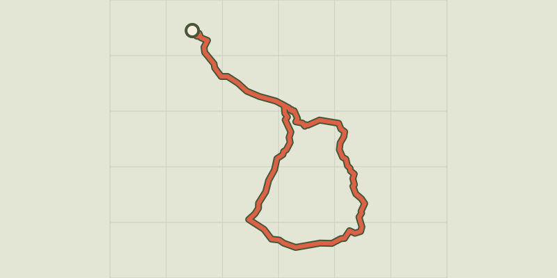 © OpenStreetMap, SRTM · OpenTopoMap (CC-BY-SA)
Tour de la tête des Toillies
Queyras, Saint-Véran (05) · LoopOfficial rating by Parcs naturels régionaux de Provence-Alpes-Côte d'Azur © OpenStreetMap, SRTM · OpenTopoMap (CC-BY-SA)
Abriès - Autour du Bric Bouchet
Queyras, Abriès-Ristolas (05) · LoopOfficial rating by Parcs naturels régionaux de Provence-Alpes-Côte d'Azur © OpenStreetMap, SRTM · OpenTopoMap (CC-BY-SA)
The Montette chapel
Queyras, Abriès-Ristolas (05) · LoopOfficial rating by Parcs naturels régionaux de Provence-Alpes-Côte d'Azur