
The Montette chapel

Key facts
- Distance
- 5.5 km
- Ascent
- +290 m
- Descent
- −275 m
- Estimated time
- 1 hr 50
- hiking
- Difficulty
- Easy
- official rating
- Route
- Loop
- back to the start
Profile and gradient
- under 10%
- 10 to 20%
- over 20%
Gradient along the route: 3.6 km under 10%, 1.0 km at 10 to 20% and 1.0 km over 20%. Elevation from 1,759 m to 2,026 m over 5.5 km.
Description
Easy hike to discover the religious heritage of Le Roux. In the past, le Roux was surrounded by many hamlets. They were inhabited and the local population used the seasons to rhythm crops, livestock and relations with both sides of the border followed a long way on these alpine lands. Abandoned, the hamlets fell into ruin. Today, under the initiative of an association and of individuals, some buildings tend to reappear. The Montette chapel has thus been rebuilt and the hamlet of Pra Roubaud has had its bread oven as well as other buildings restored. Human life has been resumed here and the testimony of the life of yesteryear are restored. They help us imagine the lives of these men and women who settled here, braved the harsh winters and lived off the riches of the earth. From the parking lot at the entrance of the village, reach the church on top of the hamlet, continue along the main road until you pass a gate at the exit of the village and continue on the track (GR). Pass the Saint-Antoine de Padou chapel, leave a path on the right and reach the end of the track. 1 - Cross the stream, get on a path towards the ruins of the Montette, cross them and reach the Sainte Marie Madeleine chapel at the top of the hamlet. Turn right (PR) and continue on the rising false flat in the valley of the Col de Saint Martin. Please note the trail is not marked, follow the cairns and the yellow tags. 2 - After1km, take the path on the right, cross the stream again and reach the track 50meters above. Follow the slightly descending track and quickly take a path on the left. After 200m on this path, reach the point"Ancien canal" and continue on a wide path rising slightly. 3 - At Pra Roubaud, go through the hamlet downhill, cross a stream and reach the Saint Joseph's Oratory overlooking Le Roux. Go down a good path to reach Le Roux and the main road (GR). Turn left to reach the church, go down to the village to reach the parking lot.
Difficulty
Official rating: easy, by Parcs naturels régionaux de Provence-Alpes-Côte d'Azur.
Getting there
Start: Le Roux, Abriès-Ristolas (05).
Sources
- Track: Parcs naturels régionaux de Provence-Alpes-Côte d'Azur (Chemins des Parcs), Licence Ouverte 2.0, Licence Ouverte 2.0 (Etalab) (www.cheminsdesparcs.fr/trek/27850-ABRIES---Chapelle-de-la-Montette---Le-Roux-d-Abries). Time estimated by GPX Path with the Mac app rule, breaks not included.
- Official elevation gain: 290 m, Parcs naturels régionaux de Provence-Alpes-Côte d'Azur
Nearby tracks

 © OpenStreetMap, SRTM · OpenTopoMap (CC-BY-SA)
Abriès - Autour du Bric Bouchet
Queyras, Abriès-Ristolas (05) · LoopOfficial rating by Parcs naturels régionaux de Provence-Alpes-Côte d'Azur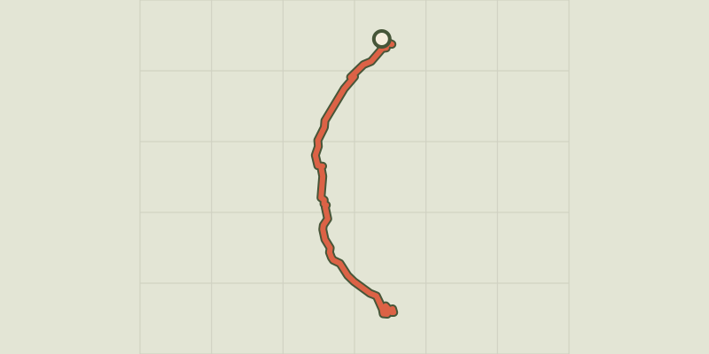 © OpenStreetMap, SRTM · OpenTopoMap (CC-BY-SA)
Ristolas - Le lac de Ségure
Queyras, Abriès-Ristolas (05) · Out and backOfficial rating by Parcs naturels régionaux de Provence-Alpes-Côte d'Azur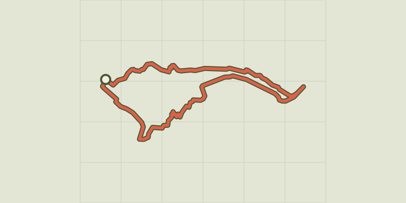 © OpenStreetMap, SRTM · OpenTopoMap (CC-BY-SA)
Col Lacroix
Queyras, Abriès-Ristolas (05) · LoopOfficial rating by Parcs naturels régionaux de Provence-Alpes-Côte d'Azur © OpenStreetMap, SRTM · OpenTopoMap (CC-BY-SA)
Sentier de découverte des Fourmis - Aiguilles
Queyras, Aiguilles (05) · Out and backOfficial rating by Parcs naturels régionaux de Provence-Alpes-Côte d'Azur © OpenStreetMap, SRTM · OpenTopoMap (CC-BY-SA)
Pré-Michel nature trail
Queyras, Abriès-Ristolas (05) · LoopOfficial rating by Parcs naturels régionaux de Provence-Alpes-Côte d'Azur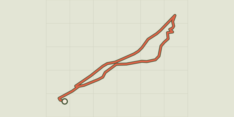 © OpenStreetMap, SRTM · OpenTopoMap (CC-BY-SA)
Sentier écologique des Astragales - Ville-Vieille
Queyras, Château-Ville-Vieille (05) · LoopOfficial rating by Parcs naturels régionaux de Provence-Alpes-Côte d'Azur