
The Bastidon Trail

Key facts
- Distance
- 15.3 km
- Ascent
- +887 m
- Descent
- −833 m
- Estimated time
- 5 hr 15
- hiking
- Difficulty
- Difficult
- official rating
- Route
- Loop
- back to the start
Profile and gradient
- under 10%
- 10 to 20%
- over 20%
Gradient along the route: 8.4 km under 10%, 5.7 km at 10 to 20% and 1.1 km over 20%. Elevation from 703 m to 1,373 m over 15.3 km.
Description
A contrast of the superheated garrigue of the Verdon from the shady and cool forest of the ubac of Barbin, you will walk in a wild and grand place. "One of the most beautiful hikes in the region despite 1,000m of vertical drop! For almost 2 hours by the Bastidon trail, I was able to discover, along the Verdon, the diversity of this sector. Accessible despite some wired passages. I loved the viewpoint at the Mayreste lookout on the Grand Canyon du Verdon, the pine and beech forests that cover the mountain of Barbin." Exit the village by the D952 towards Moustiers-Sainte-Marie. At the oratory, turn left to go along the campsite, then leave the road to go in front, on the trail. 1- Join the ridge road. Follow it on the right for about 250m. At the pumping station, turn right in the direction of Bonlau. Go behind the building. After the well, go down on the left. Farther, follow the ridge road for about 1km. 2- Leave the road and descend on the right by the Bastidon trail. Join the Mainmorte ravine. Then go back up to find the neck. Continue to flank. After crossing the ravine of Ferné exit the gorges by the path. Pass several ravines (the delicate passages are secured!). Turn left at the Mairestre belvedere. 3- Go up to the belvedere, then back and go along the D952 and then leave it to go straight into the first corner. After a series of winding roads, turn left into the Brusc valley. Climb into a rocky gully and exit into the Grinhan ravine. Join the GR®4 trail. 4- Turn right and follow the red and white markings of GR®4. Cut the turn of the trail, descend into the ravine and continue until the Jas de Barbin crossroad. Continue along the trail to the right under the woods (the trail changes slope). Continue on the mountainside of Barbin and after the passage of a ruin and an enclosed river, descend following the winding path. At the foot of the hill cross a trail and join the village road below. At the oratory, go straight on to reach La Palud.
Difficulty
Official rating: difficult, by Parcs naturels régionaux de Provence-Alpes-Côte d'Azur.
Before you go
- Avoid high summer temperatures, leave early. Take: 3L of water per person, a hat, and walking shoes Be wary of certain wired passages (handrail). Not recommended for persons prone to vertigo.
Getting there
Start: Village de la Palud-sur-Verdon, La Palud-sur-Verdon (04).
Sources
- Track: Parcs naturels régionaux de Provence-Alpes-Côte d'Azur (Chemins des Parcs), Licence Ouverte 2.0, Licence Ouverte 2.0 (Etalab) (www.cheminsdesparcs.fr/trek/54261-LA-PALUD-SUR-VERDON---Le-sentier-du-Bastidon). Time estimated by GPX Path with the Mac app rule, breaks not included.
- Official elevation gain: 887 m, Parcs naturels régionaux de Provence-Alpes-Côte d'Azur
Nearby tracks

 © OpenStreetMap, SRTM · OpenTopoMap (CC-BY-SA)
La Palud-sur-Verdon - La Palud - Rougon point sublime + Autocar
Verdon, La Palud-sur-Verdon (04) · Point to pointOfficial rating by Parcs naturels régionaux de Provence-Alpes-Côte d'Azur © OpenStreetMap, SRTM · OpenTopoMap (CC-BY-SA)
The trail of Blanc Martel
Verdon, La Palud-sur-Verdon (04) · Point to pointOfficial rating by Parcs naturels régionaux de Provence-Alpes-Côte d'Azur © OpenStreetMap, SRTM · OpenTopoMap (CC-BY-SA)
La Palud sur Verdon - Le Bastidon en aller retour
Verdon, La Palud-sur-Verdon (04) · Out and backOfficial rating by Parcs naturels régionaux de Provence-Alpes-Côte d'Azur © OpenStreetMap, SRTM · OpenTopoMap (CC-BY-SA)
Rougon - Rougon - Chasteuil + Autocar
Verdon, Rougon (04) · Point to pointOfficial rating by Parcs naturels régionaux de Provence-Alpes-Côte d'Azur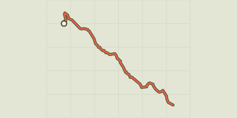 © OpenStreetMap, SRTM · OpenTopoMap (CC-BY-SA)
The Grand Margès
Verdon, Aiguines (83) · Out and backOfficial rating by Parcs naturels régionaux de Provence-Alpes-Côte d'Azur © OpenStreetMap, SRTM · OpenTopoMap (CC-BY-SA)
The "Belvédère des Vautours" trail
Verdon, Trigance (83) · LoopOfficial rating by Parcs naturels régionaux de Provence-Alpes-Côte d'Azur