
The Véris trail

Key facts
- Distance
- 7.3 km
- Ascent
- +220 m
- Descent
- −213 m
- Estimated time
- 2 hr 05
- hiking
- Difficulty
- Moderate
- official rating
- Route
- Loop
- back to the start
Profile and gradient
- under 10%
- 10 to 20%
- over 20%
Gradient along the route: 5.6 km under 10% and 1.6 km at 10 to 20%. Elevation from 481 m to 683 m over 7.3 km.
Description
The Véris trail could be called the trail of the senses, both your eyes and your sense of smell will be put to the test. On this trail, you will discover a rich and varied vegetation, the smells of aromatic plants, the taste of wild garlic, the texture of the trees, without forgetting the view of the blue waters of the lake, the villages of Aiguines, of Sainte Croix and of Salles-sur-Verdon...and don't they say that blue is the colour closely related to dreams, wisdom and serenity. From the car park on the left, at the entrance of the village, cross the main street and reach the wash-house through the street across from the car park. Climb right after the wash-house, switch to the bottom of the rocks and follow the road of St-Sauveur (GR®99 ; white and red marking). At the next intersection, go straight onto the Défens track, closed by a gate. Go up on the right bank of the Gorges de Caletty valley by the paved trail and then dirt road. 1 - At 1km / less than a mile, at the end of the rise, exit the GR®99 and turn left onto the path of Véris (blue marking). Stroll through the route under the oaks and along rock removal areas (piled up rocks). Leave a path coming from the right and reach an intersection at 1km / less than a mile. 2 - Take a right. (Do not take the left path which is crossed off by a blue cross). Follow the marked path and climb to a meadow, go along through the left and continue through the woods. Reach a small clearing and regain the limestone plateau through a path (passages on limestone pavements). Leave a path starting on the right and continue straight (blue markings, signVéris) then reach a crossroads at a cedar plantation. 3 - Take the path going down to the right, among the oaks, pines and brooms and reach a passage between the rocks (remarkable). Go down the path along the walls and continue under the shade of the oaks. Reach a concrete path at the foot of the hill then reach the road. At the end, pass over the public gardens of Bauduen then go down to the rive through the road. Go into the village through the left (GR®99 ; white and red marking).
Difficulty
Official rating: moderate, by Parcs naturels régionaux de Provence-Alpes-Côte d'Azur.
Before you go
- Hiking shoes, 2L of water per person, a hat, avoid leaving late in the summer because of hot weather.
Getting there
Start: Parking, Bauduen, Bauduen (83).
Sources
- Track: Parcs naturels régionaux de Provence-Alpes-Côte d'Azur (Chemins des Parcs), Licence Ouverte 2.0, Licence Ouverte 2.0 (Etalab) (www.cheminsdesparcs.fr/trek/33763-BAUDUEN---Le-sentier-de-Veris). Time estimated by GPX Path with the Mac app rule, breaks not included.
- Official elevation gain: 220 m, Parcs naturels régionaux de Provence-Alpes-Côte d'Azur
Nearby tracks
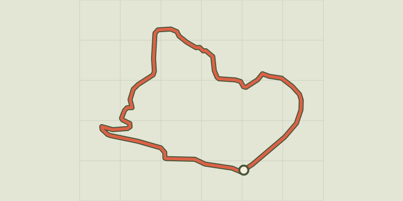
 © OpenStreetMap, SRTM · OpenTopoMap (CC-BY-SA)
Bauduen - Le sentier de Sulagran
Verdon, Bauduen (83) · LoopOfficial rating by Parcs naturels régionaux de Provence-Alpes-Côte d'Azur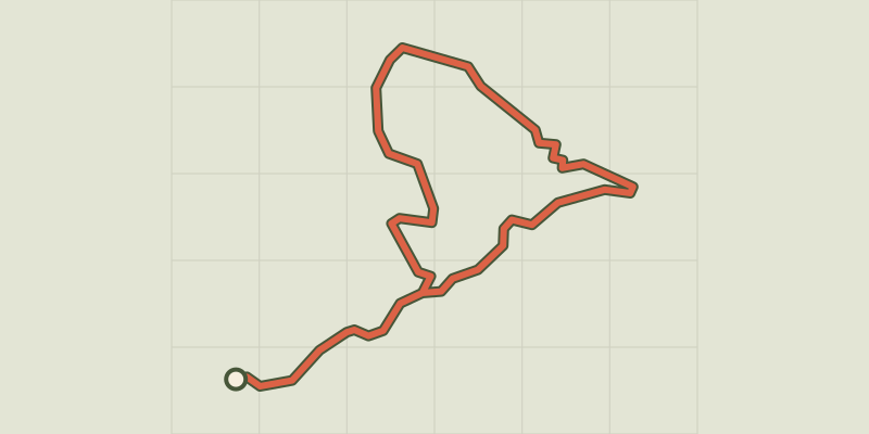 © OpenStreetMap, SRTM · OpenTopoMap (CC-BY-SA)
The Mule Trail
Verdon, Sainte-Croix-du-Verdon (04) · LoopOfficial rating by Parcs naturels régionaux de Provence-Alpes-Côte d'Azur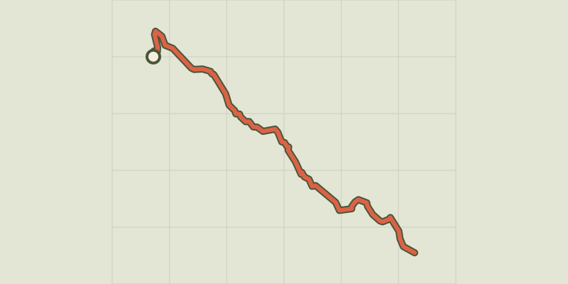 © OpenStreetMap, SRTM · OpenTopoMap (CC-BY-SA)
The Grand Margès
Verdon, Aiguines (83) · Out and backOfficial rating by Parcs naturels régionaux de Provence-Alpes-Côte d'Azur © OpenStreetMap, SRTM · OpenTopoMap (CC-BY-SA)
Montagnac - MONTPEZAT - Le circuit des deux oratoires
Verdon, Montagnac-Montpezat (04) · LoopOfficial rating by Parcs naturels régionaux de Provence-Alpes-Côte d'Azur © OpenStreetMap, SRTM · OpenTopoMap (CC-BY-SA)
The Notre-Dame de Liesse Chapel
Verdon, Aups (83) · LoopOfficial rating by Parcs naturels régionaux de Provence-Alpes-Côte d'Azur © OpenStreetMap, SRTM · OpenTopoMap (CC-BY-SA)
The Plain (forest)
Verdon, Moissac-Bellevue (83) · LoopOfficial rating by Parcs naturels régionaux de Provence-Alpes-Côte d'Azur