
The Notre-Dame de Liesse Chapel

Key facts
- Distance
- 16.4 km
- Ascent
- +628 m
- Descent
- −608 m
- Estimated time
- 4 hr 55
- hiking
- Difficulty
- Difficult
- official rating
- Route
- Loop
- back to the start
Profile and gradient
- under 10%
- 10 to 20%
- over 20%
Gradient along the route: 14.0 km under 10% and 2.5 km at 10 to 20%. Elevation from 623 m to 1,064 m over 16.4 km.
Description
At the top of the ridges of the Var, enjoy panoramas at 360° endless forests and mysterious Chapels. On the hills of the Haut Var, you will discover the Chapels of Notre Dame de Liesse and de Saint-Priest perched on the ridge. Up there, the trail sometimes travels between the sunny and shady sides and offers remarkable views, from the Mediterranean coast to the peaks of the Alps. The length and diversity of this hike let you discover a dozen species of orchids during spring. From the parking lot Col de la Bigue, cross the road and take the path on the right from the fire water tank. Roam the path on the ridge until the intersection at 800m. 1 - Take the left path going into the woods, follow the ridge for about 1.5km to the Notre-Dame de Liesse fork with a peak at 996m. Turn right on the path going up to the chapel (round trip itinerary; remarkable view). From the chapel, come back to the crossroads and continue the path in the woods. Go down the Collet de Liesse. 2 - Don't take the left path going down to Verignon and continue straight on the ridge towards Saint-Priest. Reach the Chapel in about 3km. Go down the road for about 1.5km passing in front of a ruined barn on the left. 3 - Take the track starting on the right. It joins a path below at 900m (DFCI water tank). 4 - Follow the path on the right until the intersection at 500m. Turn right, stay on the main road for another 1.5km before reaching the intersection of the tracks of la Grave and le Brès. 5 - Follow the track on the right (la Grave) and go down the valley of the Grande Colle. 6 - Take the track rising on the right. Go up the valley for 2km. At the top, we can recognize the Notre-Dame de Liesse chapel. The path reaches a peak before a slight descent. Continue on the descending path towards the Col de la Bigue. A 800m before the pass, the trail reaches the point (1). Take a left to return to the starting point.
Difficulty
Official rating: difficult, by Parcs naturels régionaux de Provence-Alpes-Côte d'Azur.
Before you go
- We recommend doing this hike over an entire day (remember to pack a picnic). Avoid the hot summer temperatures, leave early. Remember to pack at least 2L of water per person, a hat and proper walking shoes. In summer time, find out whether the forests are open to the public (fire risk) by calling 04 89 96 43 43 (answering machine of the Direction Départementale des Territoires et de la Mer) or by visiting the website of the Prefecture by clicking the tab "For more information".
Getting there
Start: Col de la Bigue, Aups, Aups (83).
Sources
- Track: Parcs naturels régionaux de Provence-Alpes-Côte d'Azur (Chemins des Parcs), Licence Ouverte 2.0, Licence Ouverte 2.0 (Etalab) (www.cheminsdesparcs.fr/trek/19599-AUPS---Notre-Dame-de-Liesse-et-de-Saint-Priest). Time estimated by GPX Path with the Mac app rule, breaks not included.
- Official elevation gain: 628 m, Parcs naturels régionaux de Provence-Alpes-Côte d'Azur
Nearby tracks
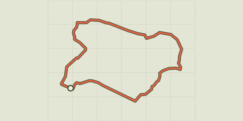
 © OpenStreetMap, SRTM · OpenTopoMap (CC-BY-SA)
The cave path
Verdon, Aups (83) · LoopOfficial rating by Parcs naturels régionaux de Provence-Alpes-Côte d'Azur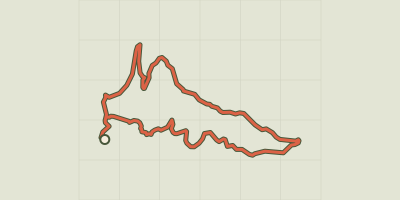 © OpenStreetMap, SRTM · OpenTopoMap (CC-BY-SA)
La Croix des Pins
Verdon, Aups (83) · LoopOfficial rating by Parcs naturels régionaux de Provence-Alpes-Côte d'Azur © OpenStreetMap, SRTM · OpenTopoMap (CC-BY-SA)
The Plain (forest)
Verdon, Moissac-Bellevue (83) · LoopOfficial rating by Parcs naturels régionaux de Provence-Alpes-Côte d'Azur © OpenStreetMap, SRTM · OpenTopoMap (CC-BY-SA)
The Pelenc forest from Moissac Bellevue
Verdon, Moissac-Bellevue (83) · LoopOfficial rating by Parcs naturels régionaux de Provence-Alpes-Côte d'Azur © OpenStreetMap, SRTM · OpenTopoMap (CC-BY-SA)
The Pelenc forest from Régusse
Verdon, Régusse (83) · LoopOfficial rating by Parcs naturels régionaux de Provence-Alpes-Côte d'Azur © OpenStreetMap, SRTM · OpenTopoMap (CC-BY-SA)
La Colle (hill)
Verdon, Régusse (83) · LoopOfficial rating by Parcs naturels régionaux de Provence-Alpes-Côte d'Azur