
MTB GPX tracks in Auvergne-Rhône-Alpes
10 GPX tracks in Auvergne-Rhône-Alpes, with distance, elevation gain and time for each track. Filter by department, sport, distance, elevation gain and time.
Departments in Auvergne-Rhône-Alpes
Filter the list below by department.
Regions
Pick a region on the map or below. Grey regions have no tracks yet.
Destinations
Mountain ranges, parks and towns: the tracks found there, across regions.
All GPX tracks in Auvergne-Rhône-Alpes
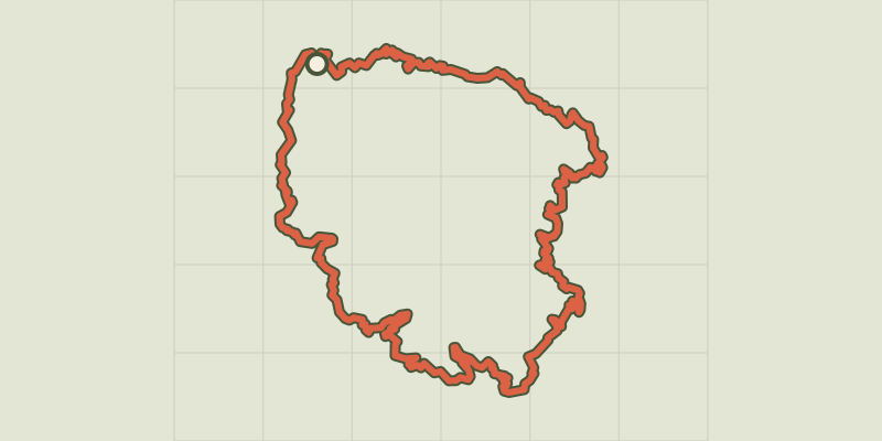
 © OpenStreetMap, SRTM · OpenTopoMap (CC-BY-SA)
Grand Tour des Ecrins VTT- Grande Traversée VTT-FFC
Écrins, Le Bourg-d'Oisans (38) · Point to pointOfficial rating by Parc national des Écrins © OpenStreetMap, SRTM · OpenTopoMap (CC-BY-SA)
GTMC VTT10 Chantelle / Riom
Auvergne, Chantelle (03) · Point to point © OpenStreetMap, SRTM · OpenTopoMap (CC-BY-SA)
GTMC VTT11 Riom / Clermont-Ferrand
Auvergne, Riom (63) · Point to point © OpenStreetMap, SRTM · OpenTopoMap (CC-BY-SA)
GTMC VTT12 Clermont-Ferrand / Volvic
Auvergne, Clermont-Ferrand (63) · Point to point © OpenStreetMap, SRTM · OpenTopoMap (CC-BY-SA)
GTMC VTT13 Volvic / Laschamps
Auvergne, Volvic (63) · Point to point © OpenStreetMap, SRTM · OpenTopoMap (CC-BY-SA)
GTMC VTT14 Laschamps / Murol
Auvergne, Saint-Genès-Champanelle (63) · Point to point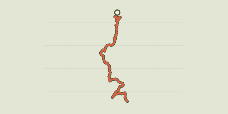 © OpenStreetMap, SRTM · OpenTopoMap (CC-BY-SA)
GTMC VTT15 Murol / St-Alyre es Montagne
Auvergne, Murol (63) · Point to point © OpenStreetMap, SRTM · OpenTopoMap (CC-BY-SA)
GTMC VTT16 St-Alyre es Montagne / Chalinargues
Auvergne, Saint-Alyre-ès-Montagne (63) · Point to point © OpenStreetMap, SRTM · OpenTopoMap (CC-BY-SA)
La Motte-Chalancon - Du Rif aux Bayles à VTT
Auvergne-Rhône-Alpes, La Motte-Chalancon (26) · LoopOfficial rating by Parcs naturels régionaux de Provence-Alpes-Côte d'Azur © OpenStreetMap, SRTM · OpenTopoMap (CC-BY-SA)
La Motte-Chalancon - Le Pas du Pousterlou à VTT
Auvergne-Rhône-Alpes, La Motte-Chalancon (26) · LoopOfficial rating by Parcs naturels régionaux de Provence-Alpes-Côte d'Azur