
Road cycling GPX tracks in Brittany
13 GPX tracks in Brittany, with distance, elevation gain and time for each track. Filter by department, sport, distance, elevation gain and time.
Departments in Brittany
Filter the list below by department.
Regions
Pick a region on the map or below. Grey regions have no tracks yet.
All GPX tracks in Brittany
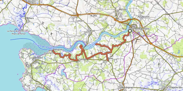
 © OpenStreetMap, SRTM · OpenTopoMap (CC-BY-SA)
De la Vilaine aux bouchots
Brittany, Férel (56) · Point to point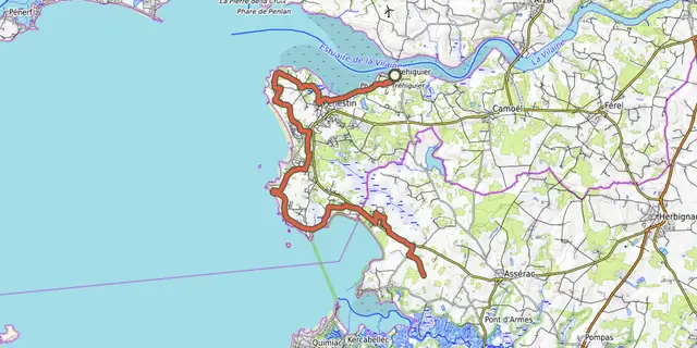 © OpenStreetMap, SRTM · OpenTopoMap (CC-BY-SA)
Du port de Tréhiguier à la baie de Pont-Mahé
Brittany, Pénestin (56) · Point to point © OpenStreetMap, SRTM · OpenTopoMap (CC-BY-SA)
EV1 - La Vélodyssée®
Brittany, Carhaix-Plouguer (29) · Point to point © OpenStreetMap, SRTM · OpenTopoMap (CC-BY-SA)
EV4 - La Vélomaritime® - section 1/5
Brittany · Out and backOfficial rating by Département des Côtes d'Armor © OpenStreetMap, SRTM · OpenTopoMap (CC-BY-SA)
EV4 - La Vélomaritime® - section 2/5
Brittany, Penvénan (22) · Out and backOfficial rating by Département des Côtes d'Armor © OpenStreetMap, SRTM · OpenTopoMap (CC-BY-SA)
EV4 - La Vélomaritime® - section 3/5
Brittany, Lanloup (22) · Point to point © OpenStreetMap, SRTM · OpenTopoMap (CC-BY-SA)
EV4 - La Vélomaritime® - section 4/5
Brittany, Pordic (22) · Out and backOfficial rating by Département des Côtes d'Armor © OpenStreetMap, SRTM · OpenTopoMap (CC-BY-SA)
EV4 - La Vélomaritime® - section 5/5
Brittany, Pléneuf-Val-André (22) · Out and backOfficial rating by Département des Côtes d'Armor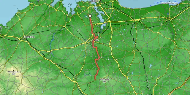 © OpenStreetMap, SRTM · OpenTopoMap (CC-BY-SA)
V403 - Sarzeau - Saint-Méen-le-Grand - Saint-Malo (sens Sud - Nord)
Brittany, Pleurtuit (35) · Point to point © OpenStreetMap, SRTM · OpenTopoMap (CC-BY-SA)
V406 - La Trans- Armorique - L'ancienne Voie Ferrée du Centre Bretagne
Brittany, Carhaix-Plouguer (29) · Point to point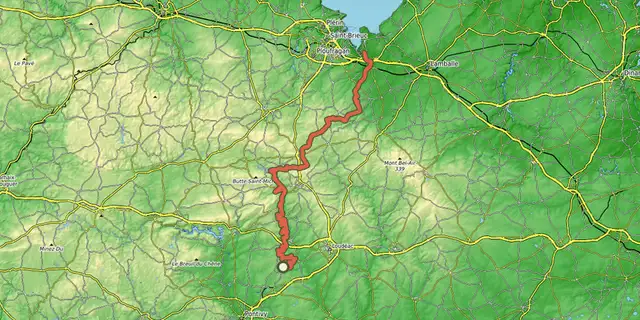 © OpenStreetMap, SRTM · OpenTopoMap (CC-BY-SA)
V408 Saint-Brieuc Lorient
Brittany, Saint-Gérand-Croixanvec (56) · Point to point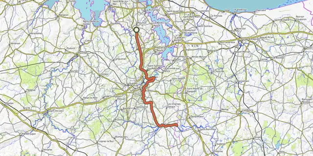 © OpenStreetMap, SRTM · OpenTopoMap (CC-BY-SA)
V42 - Manche Océan : Saint-Malo - Rennes - Redon
Brittany, Pleurtuit (35) · Point to point © OpenStreetMap, SRTM · OpenTopoMap (CC-BY-SA)
V42_Arzal - Dinan via Rennes
Brittany, Férel (56) · Point to point