
Bayardet
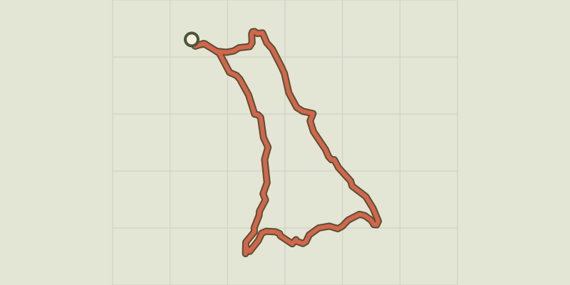
Key facts
- Distance
- 9.8 km
- Ascent
- +299 m
- Descent
- −258 m
- Estimated time
- 2 hr 45
- hiking
- Difficulty
- Moderate
- official rating
- Route
- Loop
- back to the start
Profile and gradient
- under 10%
- 10 to 20%
- over 20%
Gradient along the route: 8.1 km under 10% and 1.7 km at 10 to 20%. Elevation from 1,275 m to 1,425 m over 9.8 km.
Description
Discover the Gourdouze valley with its remarkable views. On this walk you encounter a variety of natural environments, from granite block fields to wetlands, from short-grass prairies to a broom heath with scattered gentian and forests of crooked beech trees. This is a pleasant path offering views over the open landscape onto the Gard Cévennes as well as multi-coloured scenes throughout the seasons. Signposts will guide you all along this route. In the description below, the signposted place names and/or directions are given in bold italics between quotation marks: From “Mas de la Barque”, make for “Les Écuries du Mas de la Barque”, then : - “Rochers de la Barque” 2x. Then head to : - “Les Faux des Armes”, - “La Chassalde”. Leave the track and turn left (GR®68) towards : - “La Jasse d'Olibou”, - “Les Bouzèdes”. Go back uphill to : - “Bouos d'Hommes”, - “La Roche Fendue” 2x, “Sous la roche Fendue” 2x, “Gardione” 2x, “Rochers de la Barque” 2x, “Les Écuries du Mas de la Barque”, “Mas de la Barque”. This hike is taken from the guidebook Mont Lozère - Pays des sources, published by the Pôle de pleine nature du Mont Lozère.
Difficulty
Official rating: moderate, by Parc national des Cévennes.
Before you go
- ATTENTION, TRAIL CLOSED UNTIL FURTHER NOTICE. THANK YOU FOR YOUR COOPERATION.
- This walk crosses rivers and brooks (difficult in times of flooding) as well as pastureland with herds (dogs must be kept on a leash). Do not attempt this walk in fog. Make sure your equipment is appropriate for the day’s weather conditions. Remember that the weather changes quickly in the mountains. Take enough water, wear sturdy shoes and put on a hat. Please close all gates and barriers behind you.
Getting there
Start: Mas de la Barque, Pont de Montvert - Sud Mont Lozère (48).
Sources
- Track: Parc national des Cévennes, Licence Ouverte 1.0, Licence Ouverte 1.0 (Etalab) (destination.cevennes-parcnational.fr/trek/41403-Bayardet). Time estimated by GPX Path with the Mac app rule, breaks not included.
- Official elevation gain: 299 m, Parc national des Cévennes
Nearby tracks
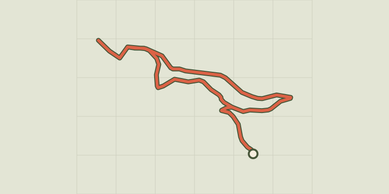
 © OpenStreetMap, SRTM · OpenTopoMap (CC-BY-SA)
Pic Cassini
Cévennes, Pont de Montvert - Sud Mont Lozère (48) · LoopOfficial rating by Parc national des Cévennes © OpenStreetMap, SRTM · OpenTopoMap (CC-BY-SA)
Chalet de l’Aigle
Cévennes, Pont de Montvert - Sud Mont Lozère (48) · LoopOfficial rating by Parc national des Cévennes © OpenStreetMap, SRTM · OpenTopoMap (CC-BY-SA)
Exploring the magical forest
Cévennes, Vialas (48) · LoopOfficial rating by Parc national des Cévennes © OpenStreetMap, SRTM · OpenTopoMap (CC-BY-SA)
Mas Camargues
Cévennes, Pont de Montvert - Sud Mont Lozère (48) · LoopOfficial rating by Parc national des Cévennes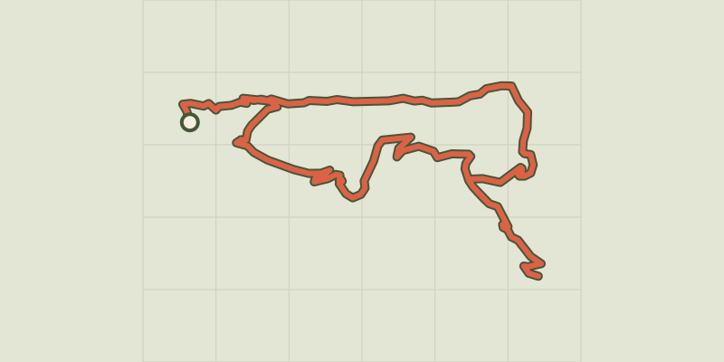 © OpenStreetMap, SRTM · OpenTopoMap (CC-BY-SA)
Le Levant
Cévennes, Concoules (30) · LoopOfficial rating by Parc national des Cévennes © OpenStreetMap, SRTM · OpenTopoMap (CC-BY-SA)
The paths of Mont Lozère
Cévennes, Concoules (30) · LoopOfficial rating by Parc national des Cévennes