
L'Hort de Dieu arboretum, short

Key facts
- Distance
- 2.6 km
- Ascent
- +142 m
- Descent
- −103 m
- Estimated time
- 45 min
- hiking
- Difficulty
- Very easy
- official rating
- Route
- Loop
- back to the start
Profile and gradient
- under 10%
- 10 to 20%
- over 20%
Gradient along the route: 2.1 km under 10%, 0.2 km at 10 to 20% and 0.3 km over 20%. Elevation from 1,272 m to 1,372 m over 2.6 km.
Description
An extensive reforestation programme was carried out on the Aigoual mountain range in the late 19th century under the leadership of forester Georges Fabre. “Remembering the fabulist's good advice, we wanted to plant without waiting; in spring 1903, and especially in the following autumn, we put in place over 1,200 plants at L'Hort de Dieu, including 773 trees... We now have 219 species of tree or shrub being either cultivated or studied on Mont Aigoual.” (Charles Flahault, 1904). A network of ten arboretums was created between 1885 and 1903. The botanist Charles Flahault provided scientific support to create the L'Hort de Dieu arboretum.
Difficulty
Official rating: very easy, by Parc national des Cévennes.
Before you go
- Narrow and steep path, firm shoes are essential.
- The access to the highly protected Alpine garden (marker 5) was specially conceived for this walk. Please stick closely to the laid-out paths.
- Horse-riding or mountain-biking are not allowed on or adapted to discovery trails.
Getting there
Start: Parking, Val-d'Aigoual (30).
Sources
- Track: Parc national des Cévennes, Licence Ouverte 1.0, Licence Ouverte 1.0 (Etalab) (destination.cevennes-parcnational.fr/trek/37993-Arboretum-de-l-Hort-de-Dieu---court). Time estimated by GPX Path with the Mac app rule, breaks not included.
- Official elevation gain: 142 m, Parc national des Cévennes
Nearby tracks
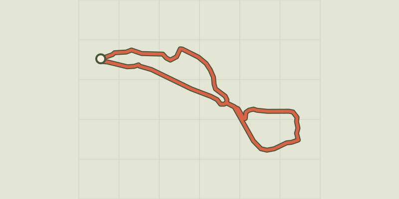
 © OpenStreetMap, SRTM · OpenTopoMap (CC-BY-SA)
The standing stone of Trépaloup
Cévennes, Val-d'Aigoual (30) · LoopOfficial rating by Parc national des Cévennes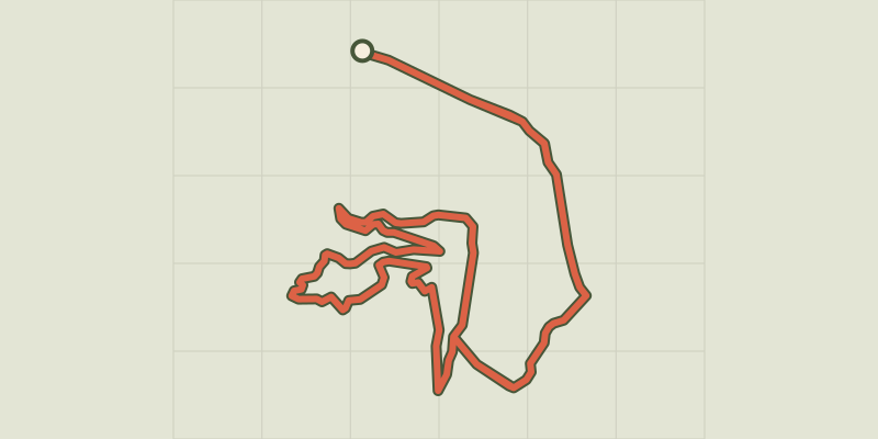 © OpenStreetMap, SRTM · OpenTopoMap (CC-BY-SA)
L'Hort de Dieu arboretum
Cévennes, Val-d'Aigoual (30) · LoopOfficial rating by Parc national des Cévennes © OpenStreetMap, SRTM · OpenTopoMap (CC-BY-SA)
Les Balcons de l’Aigoual: a land art circuit
Cévennes, Val-d'Aigoual (30) · LoopOfficial rating by Parc national des Cévennes © OpenStreetMap, SRTM · OpenTopoMap (CC-BY-SA)
The Hérault waterfalls - long
Cévennes, Meyrueis (48) · LoopOfficial rating by Parc national des Cévennes © OpenStreetMap, SRTM · OpenTopoMap (CC-BY-SA)
La Dauphine
Cévennes, Val-d'Aigoual (30) · LoopOfficial rating by Parc national des Cévennes © OpenStreetMap, SRTM · OpenTopoMap (CC-BY-SA)
Col de la Caumette
Cévennes, Val-d'Aigoual (30) · LoopOfficial rating by Parc national des Cévennes