
The Hérault waterfalls - long

Key facts
- Distance
- 5.4 km
- Ascent
- +207 m
- Descent
- −178 m
- Estimated time
- 1 hr 35
- hiking
- Difficulty
- Moderate
- official rating
- Route
- Loop
- back to the start
Profile and gradient
- under 10%
- 10 to 20%
- over 20%
Gradient along the route: 4.6 km under 10%, 0.7 km at 10 to 20% and 0.1 km over 20%. Elevation from 1,249 m to 1,412 m over 5.4 km.
Description
A path exploring the first kilometres of the River Hérault, before its waters rush down the steep slopes to the Mediterranean. From the spring of the river Hérault (Prat Peyrot), this path winds through the forest on the steep southern slopes of Mont Aigoual. Dotted with varied texts on fauna, flora and forest management, referred to in the leaflet, it makes its way to a spectacular viewpoint over the Hérault waterfalls.
Difficulty
Official rating: moderate, by Parc national des Cévennes.
Before you go
- Narrow and craggy path, firm shoes are essential. Do not leave the path as this environment is unstable and very delicate. Horse-riding or mountain-biking are not allowed on or adapted to discovery trails.
Getting there
Start: Station AltiAigoual (Prat Peyrot), Meyrueis (48).
Sources
- Track: Parc national des Cévennes, Licence Ouverte 1.0, Licence Ouverte 1.0 (Etalab) (destination.cevennes-parcnational.fr/trek/95063-Les-cascades-de-l-Herault---long). Time estimated by GPX Path with the Mac app rule, breaks not included.
- Official elevation gain: 207 m, Parc national des Cévennes
Nearby tracks

 © OpenStreetMap, SRTM · OpenTopoMap (CC-BY-SA)
Les Balcons de l’Aigoual: a land art circuit
Cévennes, Val-d'Aigoual (30) · LoopOfficial rating by Parc national des Cévennes © OpenStreetMap, SRTM · OpenTopoMap (CC-BY-SA)
La Dauphine
Cévennes, Val-d'Aigoual (30) · LoopOfficial rating by Parc national des Cévennes © OpenStreetMap, SRTM · OpenTopoMap (CC-BY-SA)
Col de la Caumette
Cévennes, Val-d'Aigoual (30) · LoopOfficial rating by Parc national des Cévennes © OpenStreetMap, SRTM · OpenTopoMap (CC-BY-SA)
The Hérault waterfalls - short
Cévennes, Val-d'Aigoual (30) · Out and backOfficial rating by Parc national des Cévennes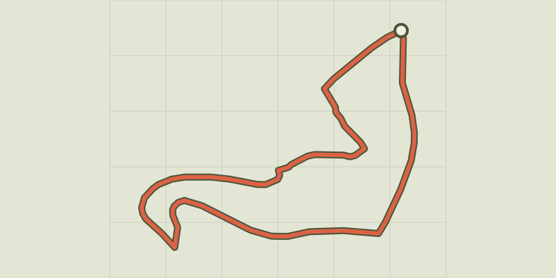 © OpenStreetMap, SRTM · OpenTopoMap (CC-BY-SA)
Trévezel: the botanists' and foresters' path
Cévennes, Val-d'Aigoual (30) · LoopOfficial rating by Parc national des Cévennes © OpenStreetMap, SRTM · OpenTopoMap (CC-BY-SA)
L'Hort de Dieu arboretum, short
Cévennes, Val-d'Aigoual (30) · LoopOfficial rating by Parc national des Cévennes