
Le Bocard trail

Key facts
- Distance
- 2.5 km
- Ascent
- +98 m
- Descent
- −79 m
- Estimated time
- 45 min
- hiking
- Difficulty
- Very easy
- official rating
- Route
- Loop
- back to the start
Profile and gradient
- under 10%
- 10 to 20%
- over 20%
Gradient along the route: 2.2 km under 10% and 0.3 km at 10 to 20%. Elevation from 536 m to 597 m over 2.5 km.
Description
In Vialas, close to the swimming holes, lies an impressive, abandoned stone-built factory, its countless vaults peeking out of the brambles... On the banks of the Luech river sit the ruins of a factory consumed up by ivy, an astonishing sight. In the 19th century, this was where galena, a lead ore containing silver, was processed using deafening machinery. After being extracted from tunnels close by, the ore was sorted and processed on site. In 1847 Vialas produced one-quarter of France’s silver, and its output did not stop increasing until 1862, when it reached 1,930 kg of refined silver. Shut down in 1894, the factory has recently been rediscovered yet keeps some of its mystery intact. The trail stays on the tarred road for 400 metres, then takes a path to explore the world of mining. After you have turned back towards the factory, you pass through one of the vast arches of the stack and reach a viewpoint which gives you a perspective on the different stages of the transformation of the ore.
Difficulty
Official rating: very easy, by Parc national des Cévennes.
Before you go
- For your security and to preserve the site, you must stay on the defined path. It is strictly forbidden to remove stones or other objects from this protected site, which is classed as a Historical Monument.
Getting there
Start: La Planche (Vialas), Vialas (48).
Sources
- Track: Parc national des Cévennes, Licence Ouverte 1.0, Licence Ouverte 1.0 (Etalab) (destination.cevennes-parcnational.fr/trek/74813-Sentier-du-Bocard). Time estimated by GPX Path with the Mac app rule, breaks not included.
- Official elevation gain: 98 m, Parc national des Cévennes
Nearby tracks

 © OpenStreetMap, SRTM · OpenTopoMap (CC-BY-SA)
Sentier de Vialas
Cévennes, Vialas (48) · LoopOfficial rating by Parc national des Cévennes © OpenStreetMap, SRTM · OpenTopoMap (CC-BY-SA)
L'Avès
Cévennes, Vialas (48) · LoopOfficial rating by Parc national des Cévennes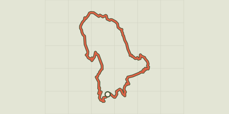 © OpenStreetMap, SRTM · OpenTopoMap (CC-BY-SA)
Gourdouze
Cévennes, Vialas (48) · LoopOfficial rating by Parc national des Cévennes © OpenStreetMap, SRTM · OpenTopoMap (CC-BY-SA)
Tourrières
Cévennes, Vialas (48) · Out and backOfficial rating by Parc national des Cévennes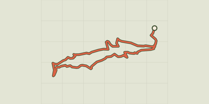 © OpenStreetMap, SRTM · OpenTopoMap (CC-BY-SA)
Soleyrols
Cévennes, Vialas (48) · LoopOfficial rating by Parc national des Cévennes © OpenStreetMap, SRTM · OpenTopoMap (CC-BY-SA)
Le Chastelas
Cévennes, Vialas (48) · LoopOfficial rating by Parc national des Cévennes