
Le Chastelas
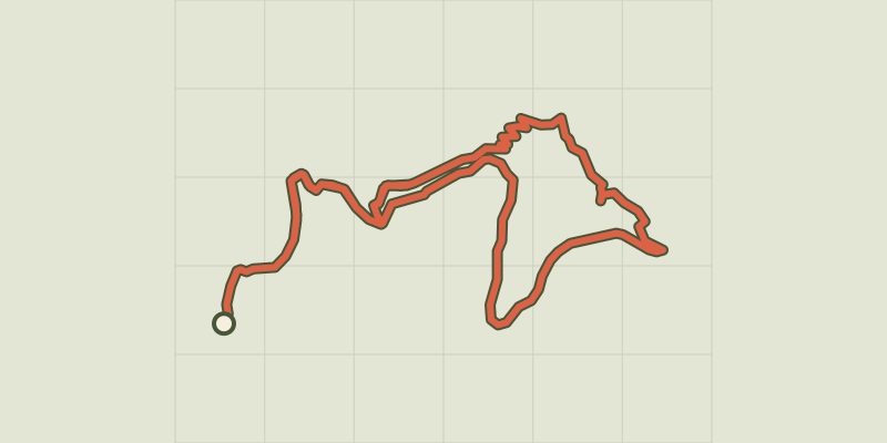
Key facts
- Distance
- 9.3 km
- Ascent
- +466 m
- Descent
- −387 m
- Estimated time
- 2 hr 55
- hiking
- Difficulty
- Easy
- official rating
- Route
- Loop
- back to the start
Profile and gradient
- under 10%
- 10 to 20%
- over 20%
Gradient along the route: 6.1 km under 10%, 3.0 km at 10 to 20% and 0.2 km over 20%. Elevation from 607 m to 941 m over 9.3 km.
Description
A beautiful hike on the hills above Nojaret, giving access to Le Chastelas, the site of the former fortress of Montclar. Enjoy panoramic views onto this historic site! You walk under sweet chestnut trees on paths that were once much frequented to reach the strategic Col de Montclar pass. All the land was cultivated, and there was much trade. Signposts will guide you all along this route, as well as yellow painted waymarks. In the description below, the signposted place names and/or directions are given in bold italics between quotation marks : From "Vialas", walk to : - “Nojaret Haut”, then to "Sous le col de Montclar" via : - "Lou Garadou", - "Lou Pradous", - "Les Sources". - From "Sous le col de Montclar", go to : - "Puecharus" via "Le Chastelas". Return to "Vialas" via : - "Réservoir", - "Nojaret Haut".
Difficulty
Official rating: easy, by Parc national des Cévennes.
Before you go
- You have to cross a scree zone to reach Le Chastelas. Alternatively, take the forest track that skirts Le Chastelas.
- Make sure your equipment is appropriate for the day’s weather conditions. Remember that the weather changes quickly in the mountains. Take enough water, wear sturdy shoes and put on a hat.
Getting there
Start: Vialas - Office de tourisme, Vialas (48).
Sources
- Track: Parc national des Cévennes, Licence Ouverte 1.0, Licence Ouverte 1.0 (Etalab) (destination.cevennes-parcnational.fr/trek/96853-Le-Chastelas). Time estimated by GPX Path with the Mac app rule, breaks not included.
- Official elevation gain: 466 m, Parc national des Cévennes
Nearby tracks
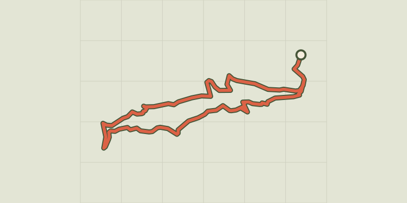
 © OpenStreetMap, SRTM · OpenTopoMap (CC-BY-SA)
Soleyrols
Cévennes, Vialas (48) · LoopOfficial rating by Parc national des Cévennes © OpenStreetMap, SRTM · OpenTopoMap (CC-BY-SA)
Tourrières
Cévennes, Vialas (48) · Out and backOfficial rating by Parc national des Cévennes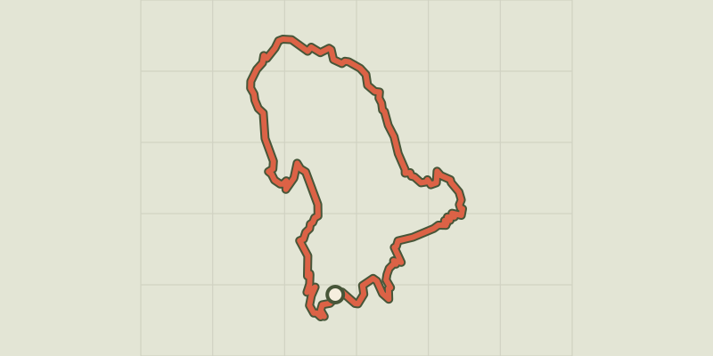 © OpenStreetMap, SRTM · OpenTopoMap (CC-BY-SA)
Gourdouze
Cévennes, Vialas (48) · LoopOfficial rating by Parc national des Cévennes © OpenStreetMap, SRTM · OpenTopoMap (CC-BY-SA)
L'Avès
Cévennes, Vialas (48) · LoopOfficial rating by Parc national des Cévennes © OpenStreetMap, SRTM · OpenTopoMap (CC-BY-SA)
Sentier de Vialas
Cévennes, Vialas (48) · LoopOfficial rating by Parc national des Cévennes © OpenStreetMap, SRTM · OpenTopoMap (CC-BY-SA)
Le Bocard trail
Cévennes, Vialas (48) · LoopOfficial rating by Parc national des Cévennes