
Tourrières

Key facts
- Distance
- 10.8 km
- Ascent
- +722 m
- Descent
- −641 m
- Estimated time
- 3 hr 55
- hiking
- Difficulty
- Moderate
- official rating
- Route
- Out and back
- same way back
Profile and gradient
- under 10%
- 10 to 20%
- over 20%
Gradient along the route: 4.3 km under 10% and 6.5 km at 10 to 20%. Elevation from 621 m to 1,206 m over 10.8 km.
Description
In a short time, this path will let you explore varied (and at times magical) atmospheres and landscapes, from "the Cévennes to Mont Lozère". This path linking the schist valleys with the granite plateau was much used by peasants until the mid-19th century. The uplands have the same climate as the Massif Central; water flows towards the Atlantic. On the valley floor, temperatures are Mediterranean, and it is towards the Mediterranean that the rivers run. Walking this path will allow you to experience - in just a few hours - the contrast between these two worlds. From the tourist office, go downhill for 60m towards the bar. 1. Turn right onto the calade (cobblestoned way) that goes uphill to Gourdouze. 2. Cross the road once, then turn left onto it to get to Libourette and Polimies Hautes. 3. Walk through the hamlet, continue on the cobbled path to the bridge over the Drelieirède and go uphill to Tourrières. The path overlooks the Rieutort river, and will stay by it till the end. Gradually the views open up, and you discover the high plateau and the few austere dwellings that make up Les Tourrières. 4. Return to Vialas on the same path.
Difficulty
Official rating: moderate, by Parc national des Cévennes.
Before you go
- Make sure your equipment is appropriate for the day’s weather conditions. Remember that the weather changes quickly in the mountains. Take enough water, wear sturdy shoes and put on a hat. Please close any gates and barriers behind you. Bathing is possible in the Rieutord’s pretty basins; but be careful, the currrent can be powerful at certain times of year.
- Caution in Les Tourrières : livestock guard dogs (patous) from May to October. Seek advice on how to behave near these dogs from tourist offices and National Park information centres.
- Stay on the path and keep your dog on a leash.
Getting there
Start: Vialas, Office du Tourisme, D37, Vialas (48).
Sources
- Track: Parc national des Cévennes, Licence Ouverte 1.0, Licence Ouverte 1.0 (Etalab) (destination.cevennes-parcnational.fr/trek/43254-Tourrieres). Time estimated by GPX Path with the Mac app rule, breaks not included.
- Official elevation gain: 722 m, Parc national des Cévennes
Nearby tracks
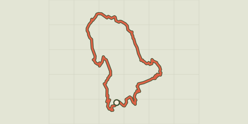
 © OpenStreetMap, SRTM · OpenTopoMap (CC-BY-SA)
Gourdouze
Cévennes, Vialas (48) · LoopOfficial rating by Parc national des Cévennes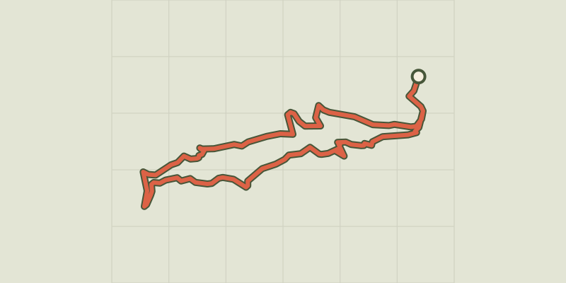 © OpenStreetMap, SRTM · OpenTopoMap (CC-BY-SA)
Soleyrols
Cévennes, Vialas (48) · LoopOfficial rating by Parc national des Cévennes © OpenStreetMap, SRTM · OpenTopoMap (CC-BY-SA)
Le Chastelas
Cévennes, Vialas (48) · LoopOfficial rating by Parc national des Cévennes © OpenStreetMap, SRTM · OpenTopoMap (CC-BY-SA)
L'Avès
Cévennes, Vialas (48) · LoopOfficial rating by Parc national des Cévennes © OpenStreetMap, SRTM · OpenTopoMap (CC-BY-SA)
Sentier de Vialas
Cévennes, Vialas (48) · LoopOfficial rating by Parc national des Cévennes © OpenStreetMap, SRTM · OpenTopoMap (CC-BY-SA)
Le Bocard trail
Cévennes, Vialas (48) · LoopOfficial rating by Parc national des Cévennes