
Le Devois cross

Key facts
- Distance
- 13.3 km
- Ascent
- +351 m
- Descent
- −305 m
- Estimated time
- 3 hr 35
- hiking
- Difficulty
- Moderate
- official rating
- Route
- Loop
- back to the start
Profile and gradient
- under 10%
- 10 to 20%
- over 20%
Gradient along the route: 12.0 km under 10% and 1.3 km at 10 to 20%. Elevation from 900 m to 1,162 m over 13.3 km.
Description
Explore a nature trail through the forest. This trail starts at Lanuéjols, the first village on the Causse Noir plateau. It takes you through pretty scenery on the edge of the Cévennes area to the west of the Aigoual massif, and some beautiful sections in the forest. You may see a watchful stag grazing or hear a great spotted woodpecker drumming on a tree trunk to let you know that you are entering his territory ? Start from the church square. Take the road “Le Village”, then Rue du Barry. At the end of this road, turn left to reach and walk alongside the "Garène brook". Continue in the gully to reach the D 986, coming from Meyrueis. - Turn right onto the D 986, cross "the Pont de Claparouse" bridge and continue for 600m. - After the first bend, turn left and take the track. - At the storage basin, take the path uphill on the right. You join up with a track, turn left onto it and then immediately turn right onto the GR®6 long-distance trail, which you follow to" the standing stone". - At "the standing stone" (“La pierre plantée”), go right towards “Lanuéjols” on the GR®62. - NB. At the third crossing, fork right, leave the GR®62 and continue on the path that runs straight ahead of you. - After several zigzags, join up with the D 986, cross it and take the path opposite. Shortly afterwards, cross a second road. At “Croix de l’Estrade”, head towards “Lanuéjols” to return to the car park.
Difficulty
Official rating: moderate, by Parc national des Cévennes.
Before you go
- Before committing yourself to a circuit, ensure that it is suitable for your activity level and ability. Make sure your equipment is appropriate for the day’s weather conditions. Remember that the weather changes quickly in the mountains. Take enough water. Please close all gates and barriers behind you. No off-roading.
Getting there
Start: Eglise - Lanuéjols, Lanuéjols (30).
Sources
- Track: Parc national des Cévennes, Licence Ouverte 1.0, Licence Ouverte 1.0 (Etalab) (destination.cevennes-parcnational.fr/trek/73687-La-Croix-du-Devois). Time estimated by GPX Path with the Mac app rule, breaks not included.
- Official elevation gain: 351 m, Parc national des Cévennes
Nearby tracks

 © OpenStreetMap, SRTM · OpenTopoMap (CC-BY-SA)
Sur les pas des gens d'ici (4 jours)
Cévennes, Lanuéjols (30) · Point to pointOfficial rating by Parc national des Cévennes © OpenStreetMap, SRTM · OpenTopoMap (CC-BY-SA)
Pradines
Cévennes, Lanuéjols (30) · LoopOfficial rating by Parc national des Cévennes © OpenStreetMap, SRTM · OpenTopoMap (CC-BY-SA)
The fox trail
Cévennes, Lanuéjols (30) · LoopOfficial rating by Parc national des Cévennes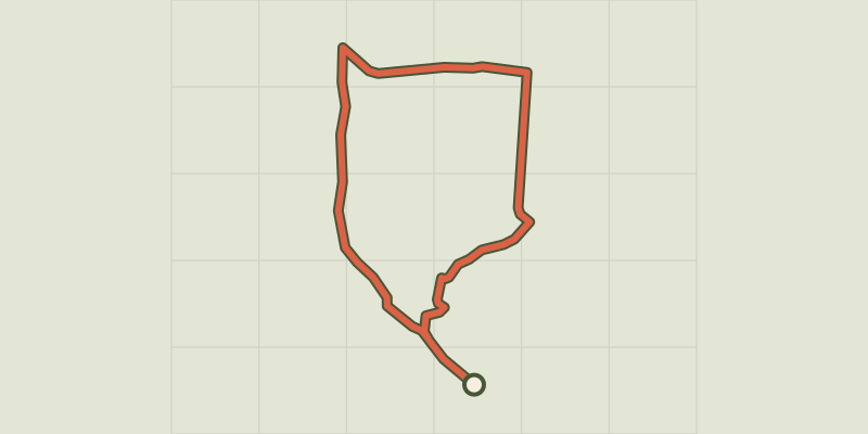 © OpenStreetMap, SRTM · OpenTopoMap (CC-BY-SA)
Three Bishops’ Cross trail
Cévennes, Lanuéjols (30) · LoopOfficial rating by Parc national des Cévennes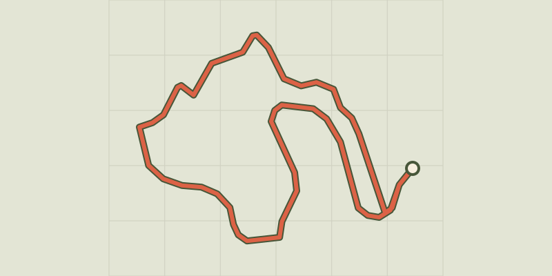 © OpenStreetMap, SRTM · OpenTopoMap (CC-BY-SA)
Arborétum de La Foux
Cévennes, Lanuéjols (30) · LoopOfficial rating by Parc national des Cévennes © OpenStreetMap, SRTM · OpenTopoMap (CC-BY-SA)
Saint Sauveur des Pourcils
Cévennes, Saint-Sauveur-Camprieu (30) · LoopOfficial rating by Parc national des Cévennes