
Saint Sauveur des Pourcils
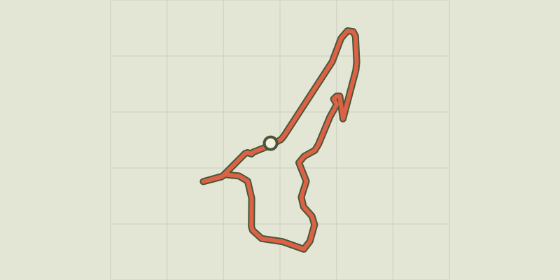
Key facts
- Distance
- 1.7 km
- Ascent
- +53 m
- Descent
- −40 m
- Estimated time
- 25 min
- hiking
- Difficulty
- Very easy
- official rating
- Route
- Loop
- back to the start
Profile and gradient
- under 10%
- 10 to 20%
- over 20%
Gradient along the route: 1.5 km under 10% and 0.2 km at 10 to 20%. Elevation from 913 m to 955 m over 1.7 km.
Description
Trail closed, wood cutting. Thank you Saint-Sauveur, the birthplace of reforestation on the Aigoual massif, today seems to lie abandoned in its dense forest setting. And yet the hamlet has a rich and intense past. Saint-Sauveur des Pourcils was one of the great farm estates of the Aigoual massif, bought by the forestry office in the late 19th century. The hamlet only consists of a church and a few buildings, including an imposing farmstead that looks almost like a castle. But the existing buildings make it easy to understand several traditional construction techniques. Nearby, the walk continues through part of the vast arboretum that highlights a great variety of species and some remarkable specimens. From the car park, the path first leads into the centre of the hamlet, before entering the arboretum by a trail that leads down into the forest towards the brook. Once you have crossed a footbridge, the path gently heads uphill to the track that takes you back to the car park.
Difficulty
Official rating: very easy, by Parc national des Cévennes.
Before you go
- It is not advisable to access Saint-Sauveur hamlet after heavy rainfall (which may affect the state of the tracks). Please respect the signposting for forestry work along the access tracks.
- Horses and mountain bikes are not allowed on discovery trails.
Getting there
Start: Hameau de Saint-Sauveur, Saint-Sauveur-Camprieu (30).
Sources
- Track: Parc national des Cévennes, Licence Ouverte 1.0, Licence Ouverte 1.0 (Etalab) (destination.cevennes-parcnational.fr/trek/40722-Saint-Sauveur-des-Pourcils). Time estimated by GPX Path with the Mac app rule, breaks not included.
- Official elevation gain: 53 m, Parc national des Cévennes
Nearby tracks
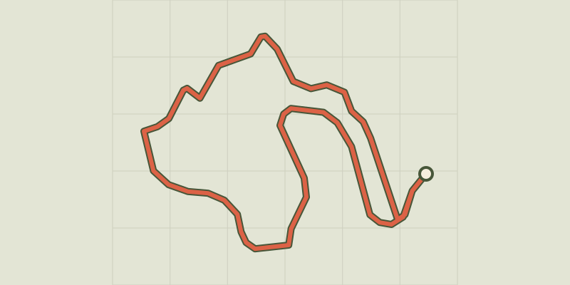
 © OpenStreetMap, SRTM · OpenTopoMap (CC-BY-SA)
Arborétum de La Foux
Cévennes, Lanuéjols (30) · LoopOfficial rating by Parc national des Cévennes © OpenStreetMap, SRTM · OpenTopoMap (CC-BY-SA)
Saint-Sauveur: the path of the Dead
Cévennes, Saint-Sauveur-Camprieu (30) · LoopOfficial rating by Parc national des Cévennes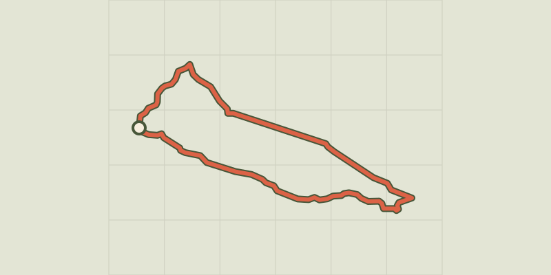 © OpenStreetMap, SRTM · OpenTopoMap (CC-BY-SA)
The Bonheur valley
Cévennes, Saint-Sauveur-Camprieu (30) · LoopOfficial rating by Parc national des Cévennes © OpenStreetMap, SRTM · OpenTopoMap (CC-BY-SA)
Camprieu trail
Cévennes, Saint-Sauveur-Camprieu (30) · LoopOfficial rating by Parc national des Cévennes © OpenStreetMap, SRTM · OpenTopoMap (CC-BY-SA)
The streams walk
Cévennes, Meyrueis (48) · LoopOfficial rating by Parc national des Cévennes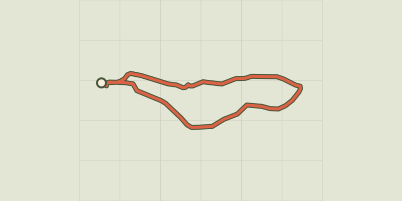 © OpenStreetMap, SRTM · OpenTopoMap (CC-BY-SA)
Sentier de découverte - Canayère - indices de la vie rurale
Cévennes, Trèves (30) · LoopOfficial rating by Parc national des Cévennes