
Le Villaret

Key facts
- Distance
- 5.4 km
- Ascent
- +256 m
- Descent
- −191 m
- Estimated time
- 1 hr 35
- hiking
- Difficulty
- Easy
- official rating
- Route
- Loop
- back to the start
Profile and gradient
- under 10%
- 10 to 20%
- over 20%
Gradient along the route: 3.4 km under 10% and 2.0 km at 10 to 20%. Elevation from 808 m to 996 m over 5.4 km.
Description
This short family walk overlooking the Luech gorge explores the Cevenol hamlets of Le Villaret and Le Massufret. Take the path that goes downhill from the car park. After 50 m, take the path on the right. At a fork, take the track on the left and, some 20 m further, the path on the right. Two granite boulders open the path that goes downhill between birches in a north-easterly direction. Above the village, take the track leading to Le Massufret. The track overlooks the Luech gorge with its sides of sheer jagged rock. It joins up with the Massufret road amidst former meadows now invaded by young ash trees, growing straight and close together. The road goes past a covered fountain, through the hamlet of Le Massufret with its schist houses with granite lintels, and a few ruins. As you leave the hamlet, take the track that leads back to the Col de la Baraquette.
Difficulty
Official rating: easy, by Parc national des Cévennes.
Before you go
- Make sure your equipment is appropriate for the day's weather conditions. Remember that the weather changes quickly in the mountains. Take enough water, wear good shoes and put on a hat. Please close all gates and barriers after yourself. This trail is also suitable for mountain-bikes.
Getting there
Start: Col de la Baraquette, Pont de Montvert - Sud Mont Lozère (48).
Sources
- Track: Parc national des Cévennes, Licence Ouverte 1.0, Licence Ouverte 1.0 (Etalab) (destination.cevennes-parcnational.fr/trek/40196-Le-Villaret). Time estimated by GPX Path with the Mac app rule, breaks not included.
- Official elevation gain: 256 m, Parc national des Cévennes
Nearby tracks

 © OpenStreetMap, SRTM · OpenTopoMap (CC-BY-SA)
Ventalon
Cévennes, Pont de Montvert - Sud Mont Lozère (48) · LoopOfficial rating by Parc national des Cévennes © OpenStreetMap, SRTM · OpenTopoMap (CC-BY-SA)
Mill Trail
Cévennes, Ventalon en Cévennes (48) · LoopOfficial rating by Parc national des Cévennes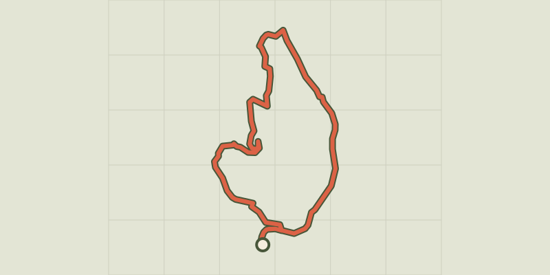 © OpenStreetMap, SRTM · OpenTopoMap (CC-BY-SA)
Le Pont du Tarn par la Croix de Berthel
Cévennes, Pont de Montvert - Sud Mont Lozère (48) · LoopOfficial rating by Parc national des Cévennes © OpenStreetMap, SRTM · OpenTopoMap (CC-BY-SA)
L'Espinas
Cévennes, Ventalon en Cévennes (48) · LoopOfficial rating by Parc national des Cévennes © OpenStreetMap, SRTM · OpenTopoMap (CC-BY-SA)
Ravin de l'Enfer (Hell Ravine)
Cévennes, Ventalon en Cévennes (48) · LoopOfficial rating by Parc national des Cévennes © OpenStreetMap, SRTM · OpenTopoMap (CC-BY-SA)
Le Bocard trail
Cévennes, Vialas (48) · LoopOfficial rating by Parc national des Cévennes